
 |
 |
 |
 |
 |
 |
 |
 |
 |

|
|
|
|
|
|
|
|
|
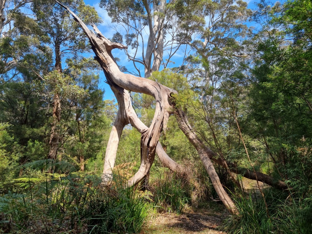
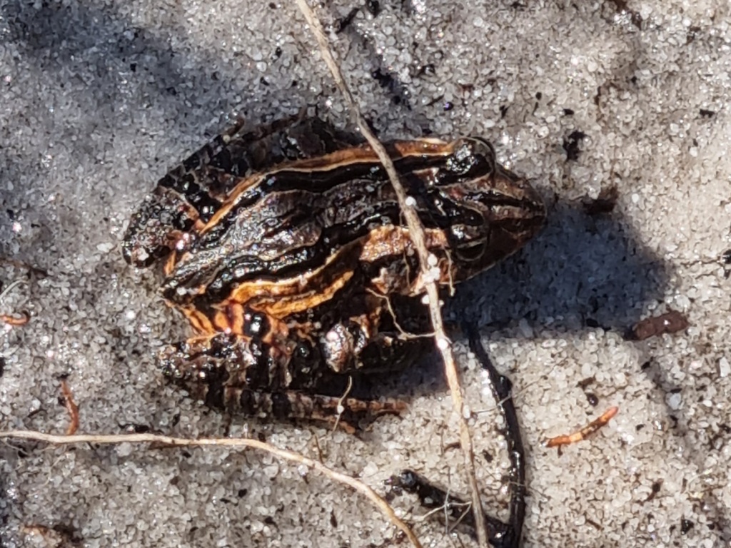
I really did see an echidna
What it looks like to tow two canoes across an inlet
Thanks, Mel, for the photo.

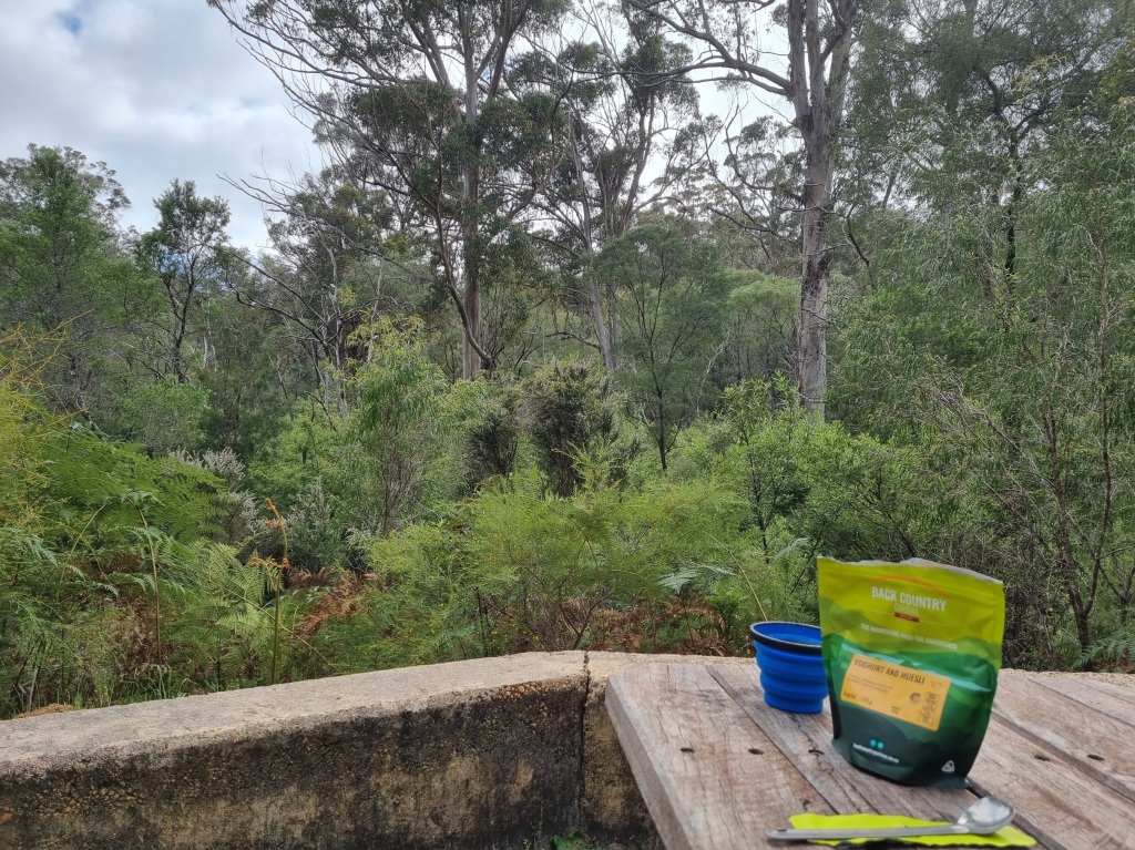
My favourite on trail meal
Rehydrated Mexican bean mix on tortillas with fresh avocado, red capsicum and cheese. Obviously this had to be a meal on the first night out of town. I would use half of the fresh ingredients and then use the other half in a couple of wraps the next day for lunch.
Pro tip: When you vacuum seal your tortillas, put a layer of baking paper between each tortilla. Unless you like eating one big fat tortilla. (Although I did manage to split it enough to get two not-quite-so-fat tortillas.)
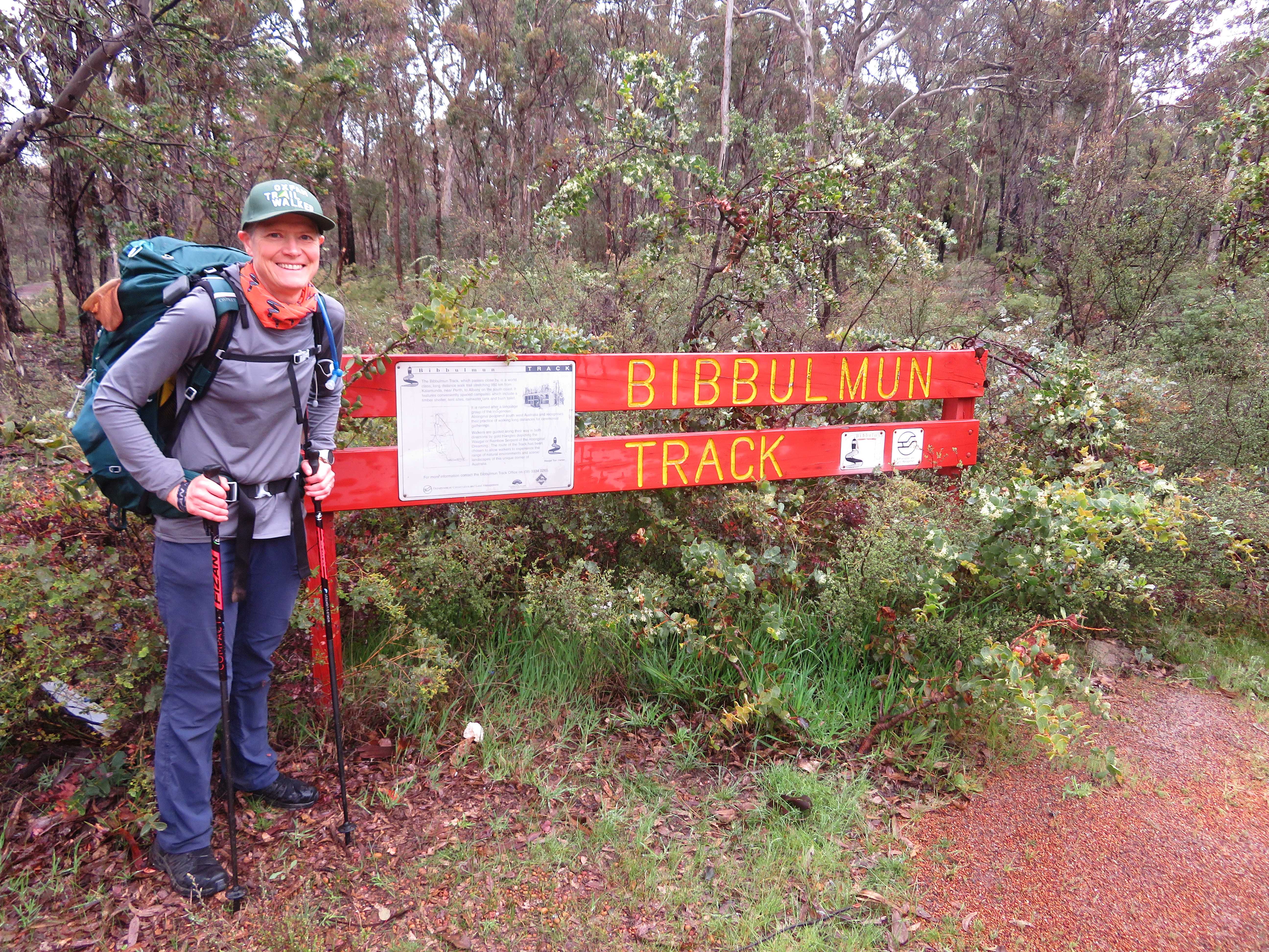
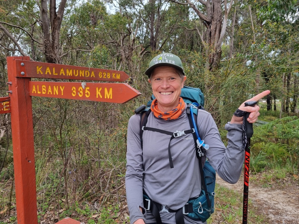
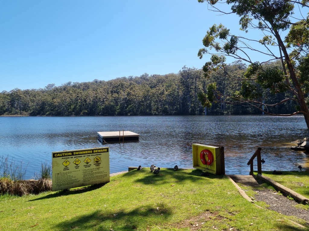
Post-walk excitement at The Gap in Albany
I get it now
When we were in Balingup, we met a northbound walker who had walked to Albany and was now on her way back to Perth again. She told us this was her 7th time walking the Bibbulmun Track. At the time, all I could think was “WHY??” I mean, I was enjoying the track but I couldn’t imagine doing it twice, let alone seven times.
As I start to plan my next walks scheduled for this year, I find myself wistfully recalling just how easy it was to organise food drops, how well equipped every campsite was, how I really didn’t even need to carry a map as the marking was so clear. One thing our NOBO walker said was she likes to walk it because it’s an easy track to walk.
I get it now.
Maybe I’ll do an autumn walk of the track from South to North in 2025. Stay tuned.
A Hiking Theory
As I spent the weeks on the Bibbulmun Track, watching and interacting with a wide variety of hikers, I came to develop a hiking theory:
There are two types of hikers – Destination Hikers and Journey Hikers.
Destination Hikers
For these hikers, the end point for the day is the focus. They’ll enjoy the sights along the way but the priority is to get to camp. These include your ‘super-through-hikers’, covering as much ground as possible so as to complete the track in quick time. It’s your ‘campers’ for whom the best part of hiking is relaxing and socialising in camp. It can be your ‘it seemed like a good idea at the time’ hikers who just want to get to camp as soon as possible to take off their wretched pack and terrible boots.
Journey Hikers
These hikers are all about each day’s journey and don’t much care where or when the day ends. These are your dawdlers, photographers, mountain peak climbers and ‘let’s stop for another cuppa’ hikers. They want to walk out to every lookout, climb every peak, swim in every river, lake and ocean, take every diversion or detour. It’s what they experience along the way that is the focus. Camp is just for eating and sleeping at the end of the day.
What kind of hiker are you?
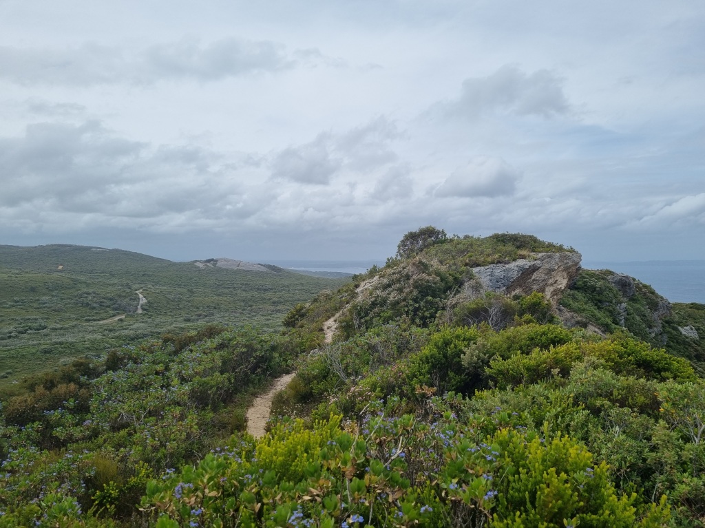
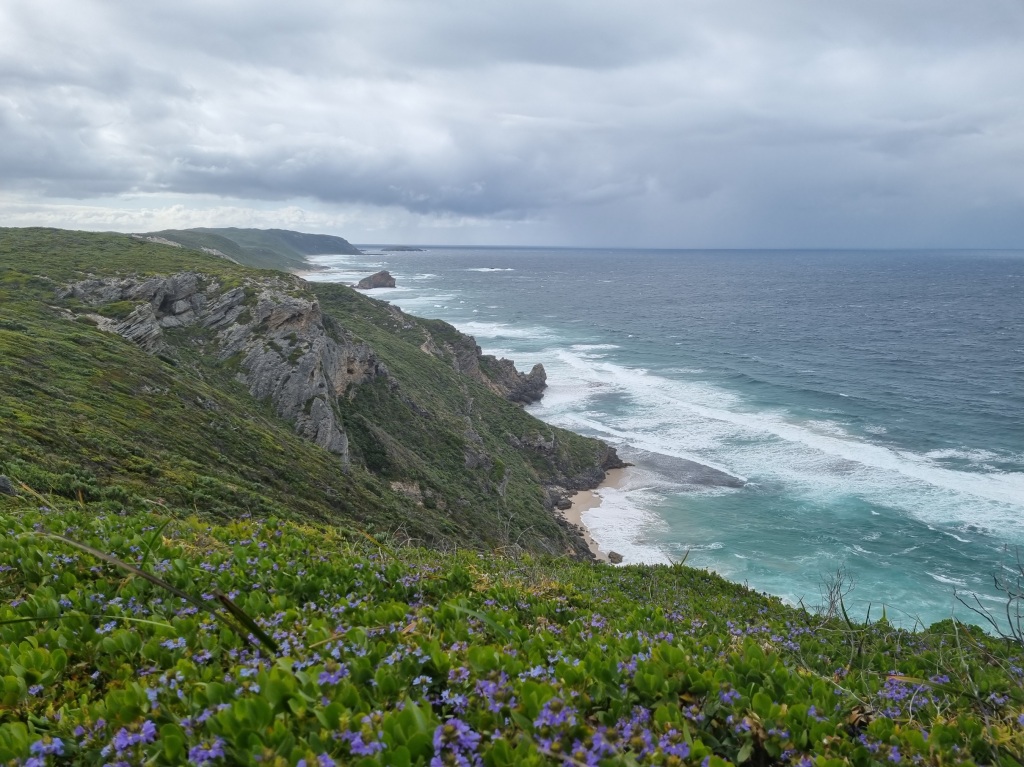
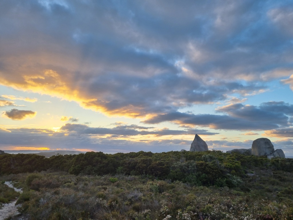
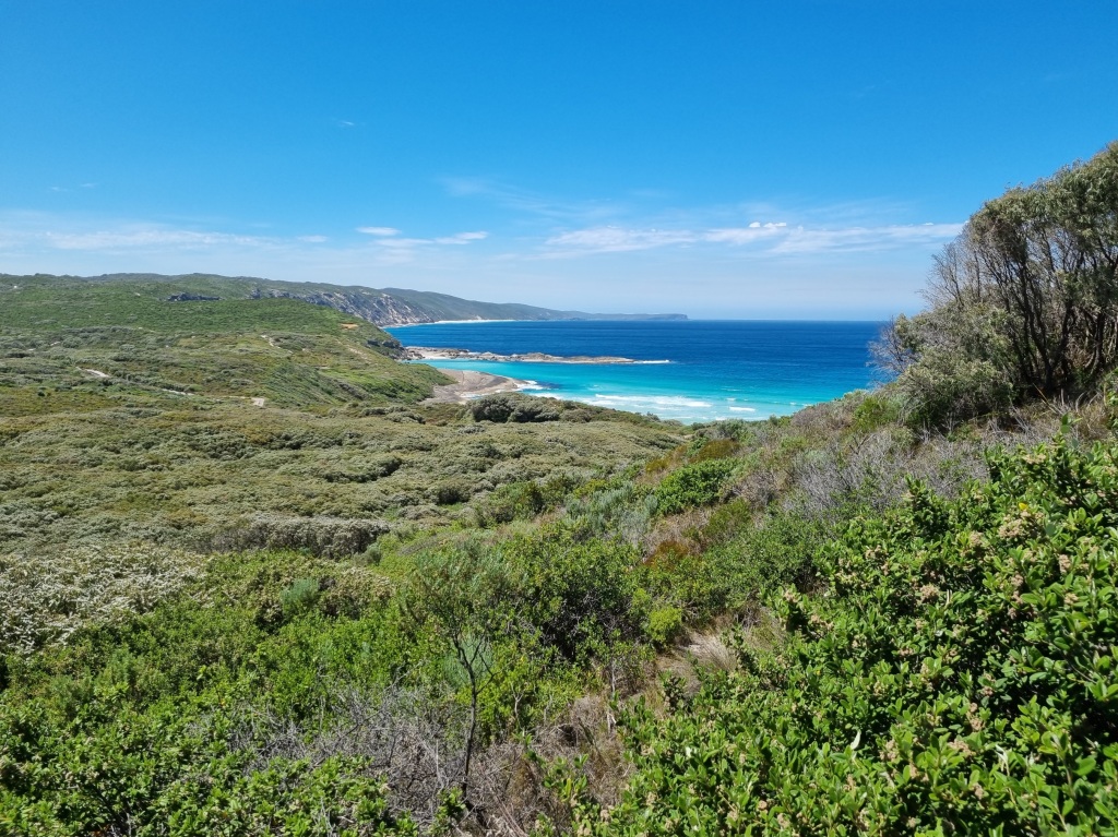
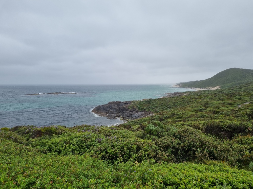
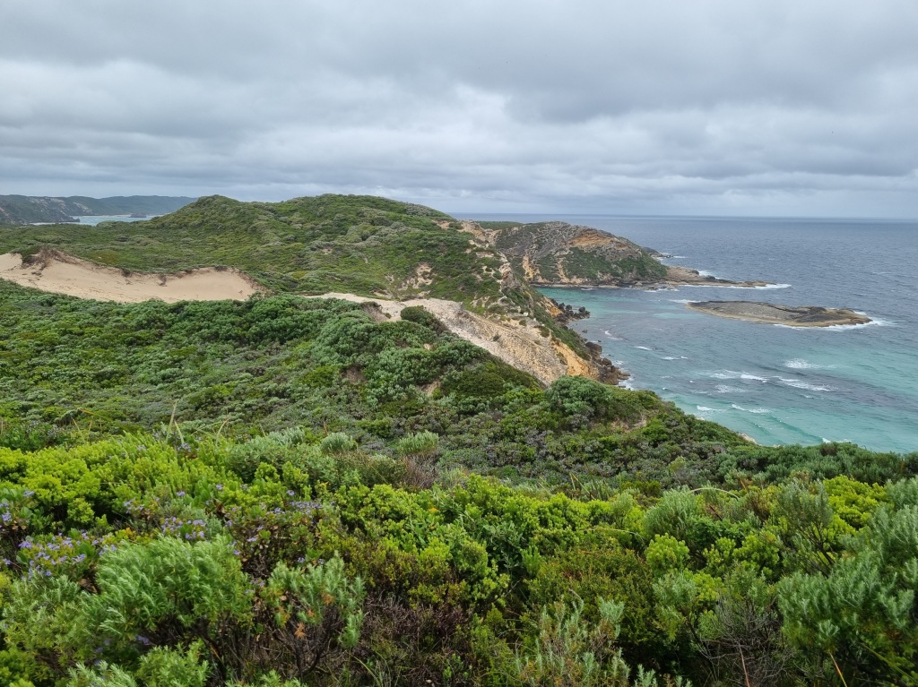
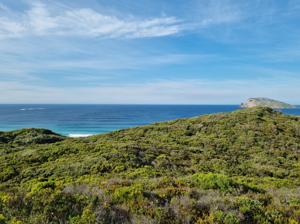
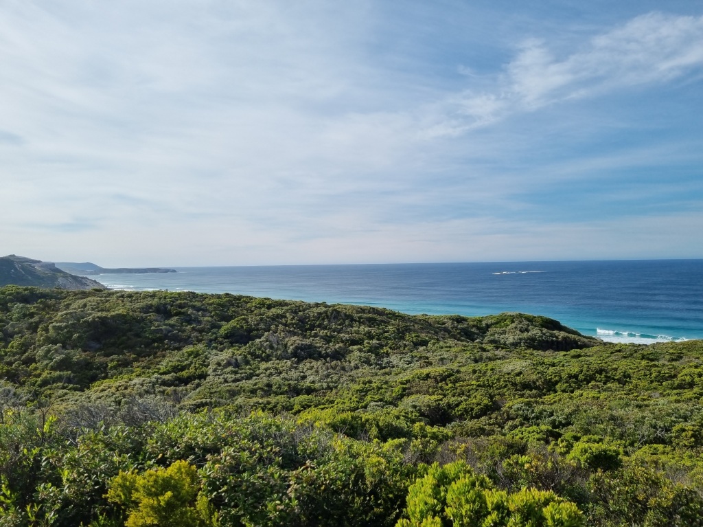
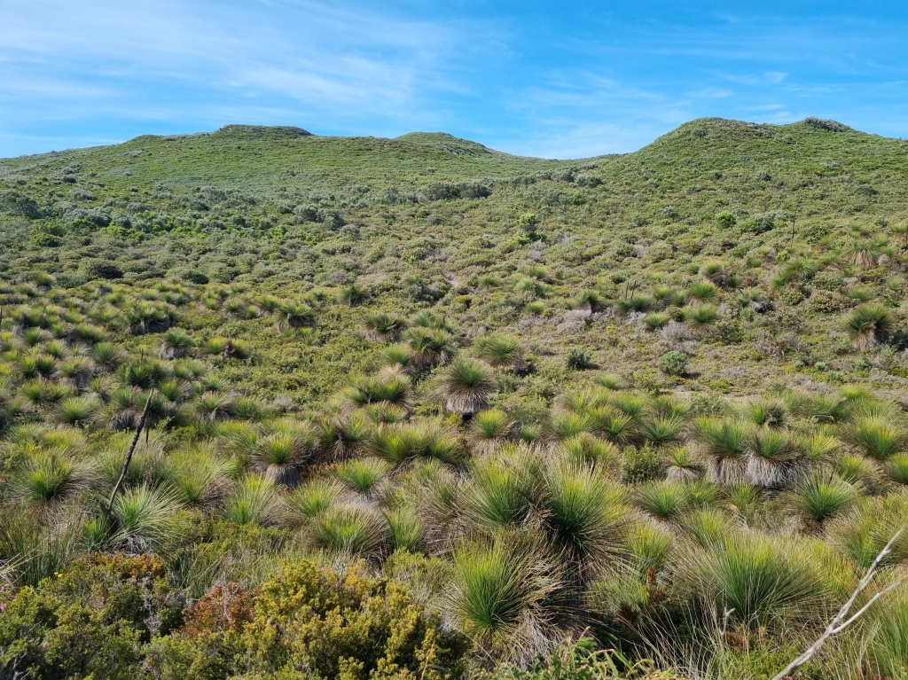
Day 49: West Cape Howe Campsite to Torbay Campsite
Scheduled distance: 16.5km
Actual distance: 17.94km
Running(hiking) total: 965.64km
Walking time: 4:46hrs
Total time: 4:54hrs
Total ascent: 486m Total descent: 586m
Cumulative Creepy Crawlies Count: Snakes 7.5 Ticks 1 Leeches 0
The Day I Met Patrick
The proposed solution to my struggles yesterday was to have a day to myself at my own pace. So while the camp emptied out early, I had a leisurely breakfast, packed up and then had coffee number 2 with some chocolate just for good measure.
It didn’t help. From the start, I felt incredibly tired so I popped in my earbuds and put on a podcast to keep me distracted. Later I discovered that musicals were more helpful. Something about those beats bouncing me along.
About halfway to camp, feeling so tired I just wanted to curl up in a ball on the side of the track despite eating and drinking regularly, the lightbulb suddenly went on. I hadn’t taken my iron supplements in weeks and my diet over the past week had been lacking in iron-rich food. I stopped and took a tablet right away. By the time I got to camp, I still felt washed out but my mood had improved.
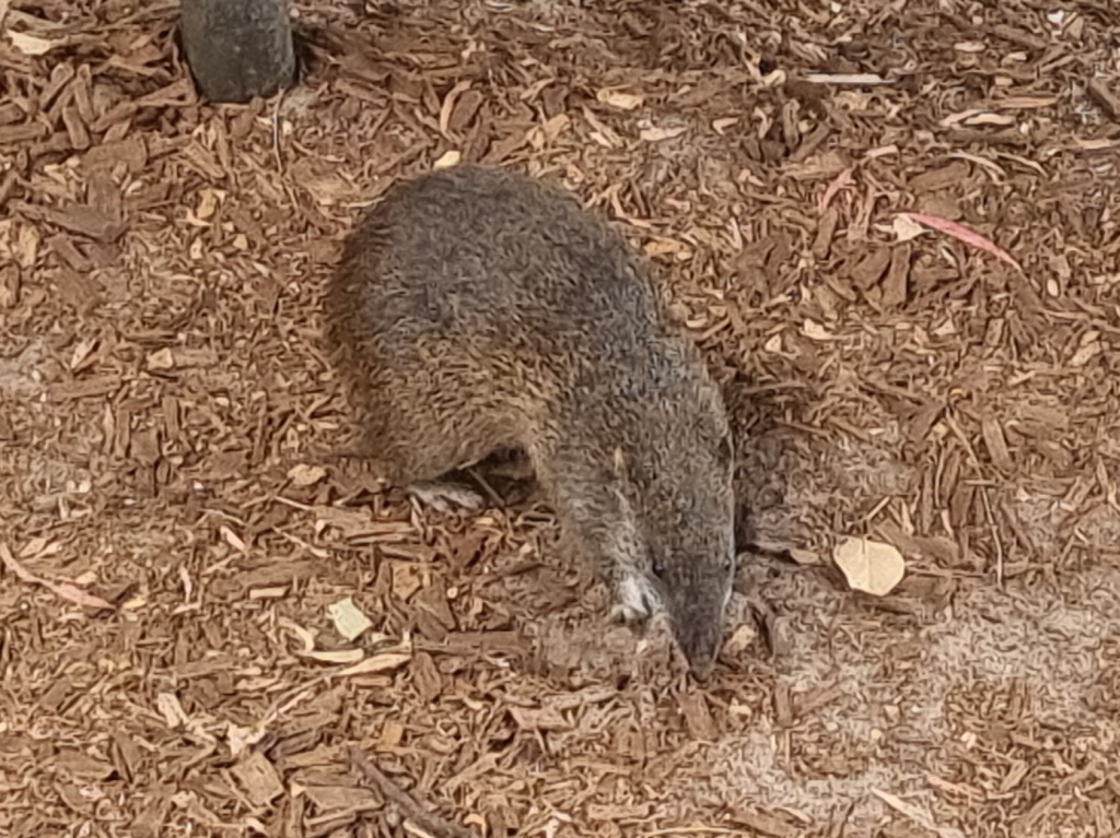
It improved even further after a phone chat with a friend (thank goodness there was reception) and when I finally met Patrick the quenda who likes to come and visit the inhabitants of Torbay Campsite.
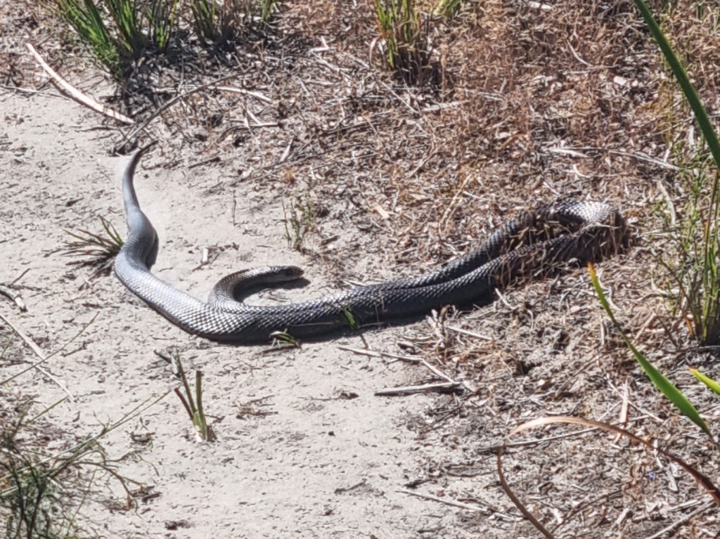
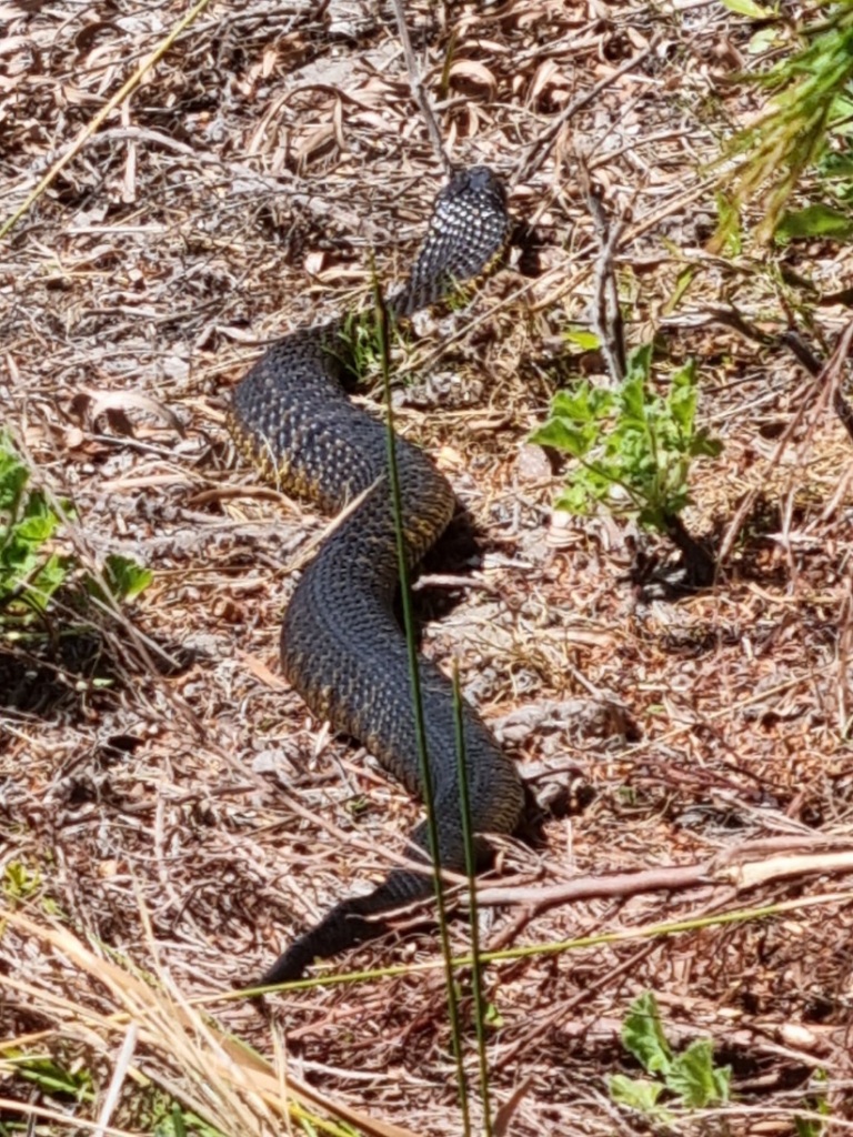
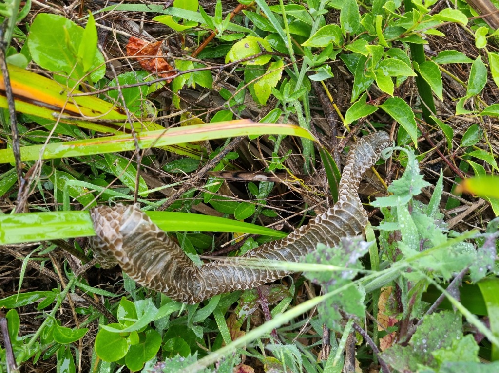
You’ll see I’ve added two more snakes to the snake tally. One of those was not exactly tiny.

And it was most reluctant to get out of my way despite persistent banging on the ground with my hiking poles
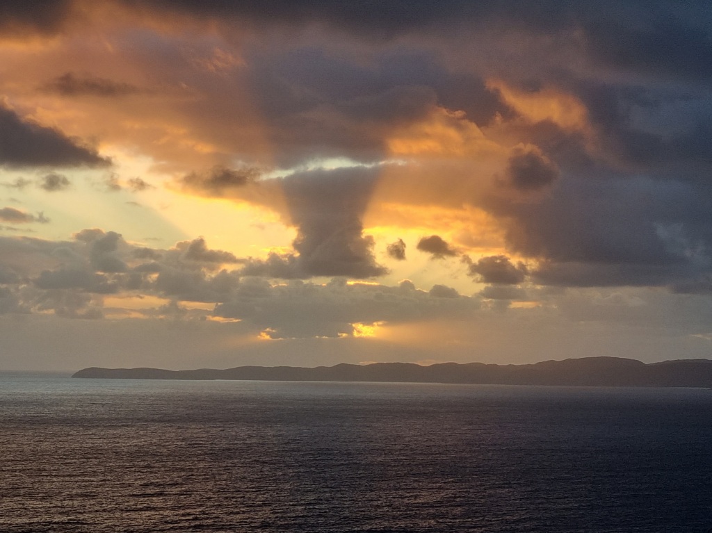
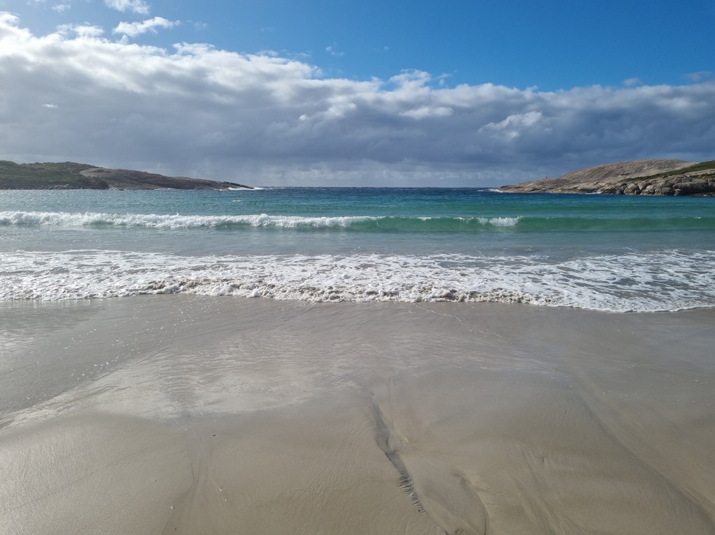
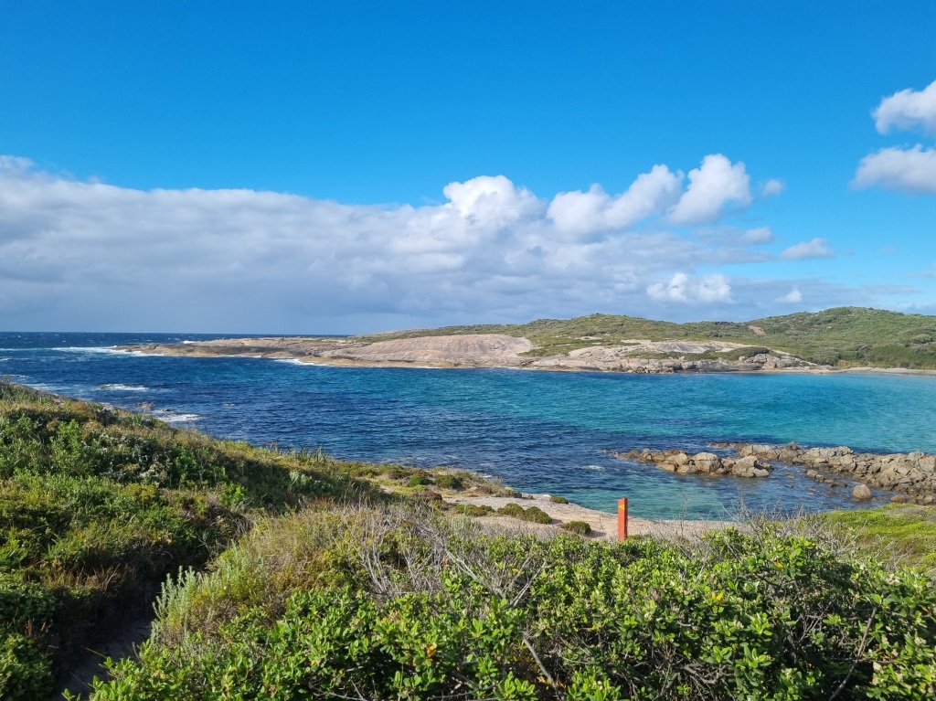
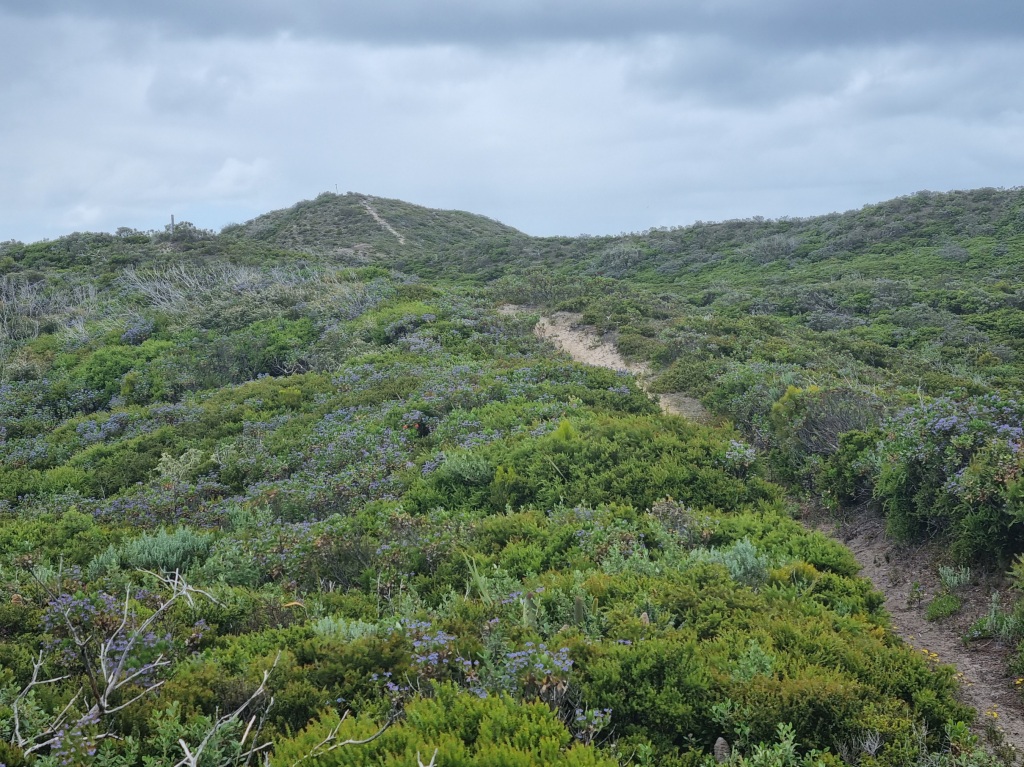
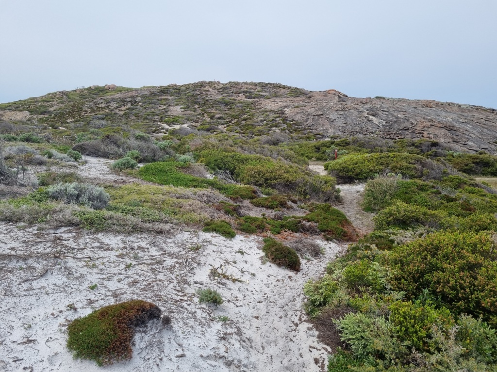
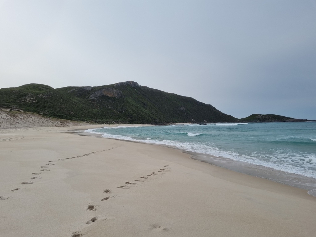
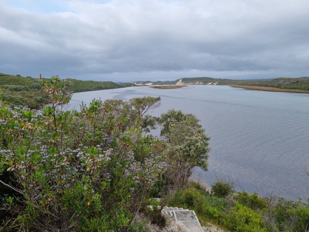
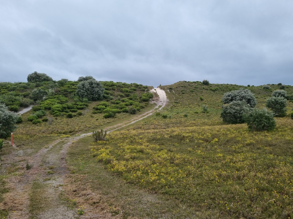
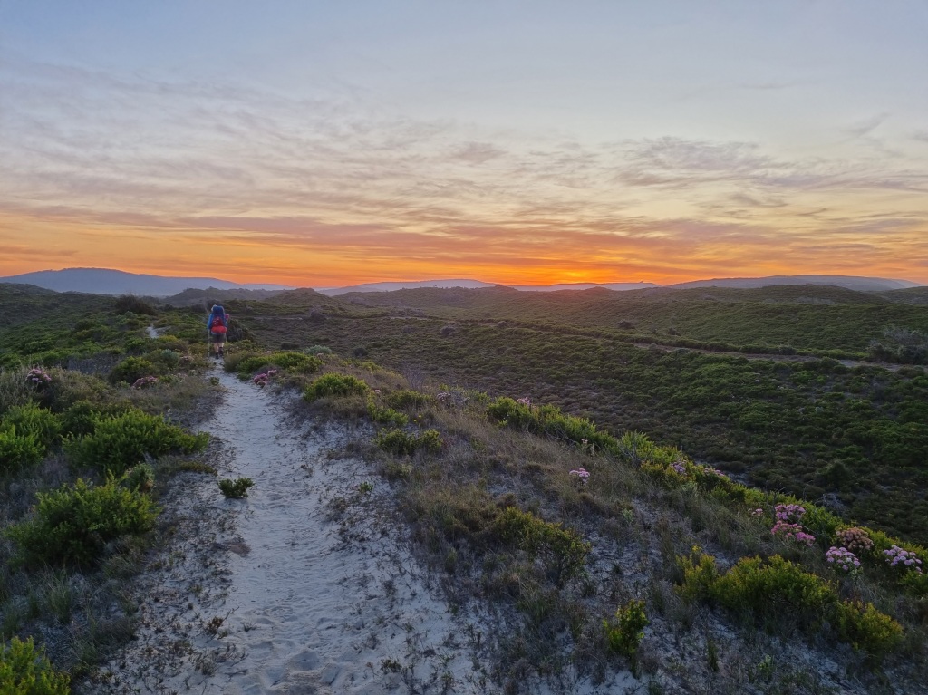
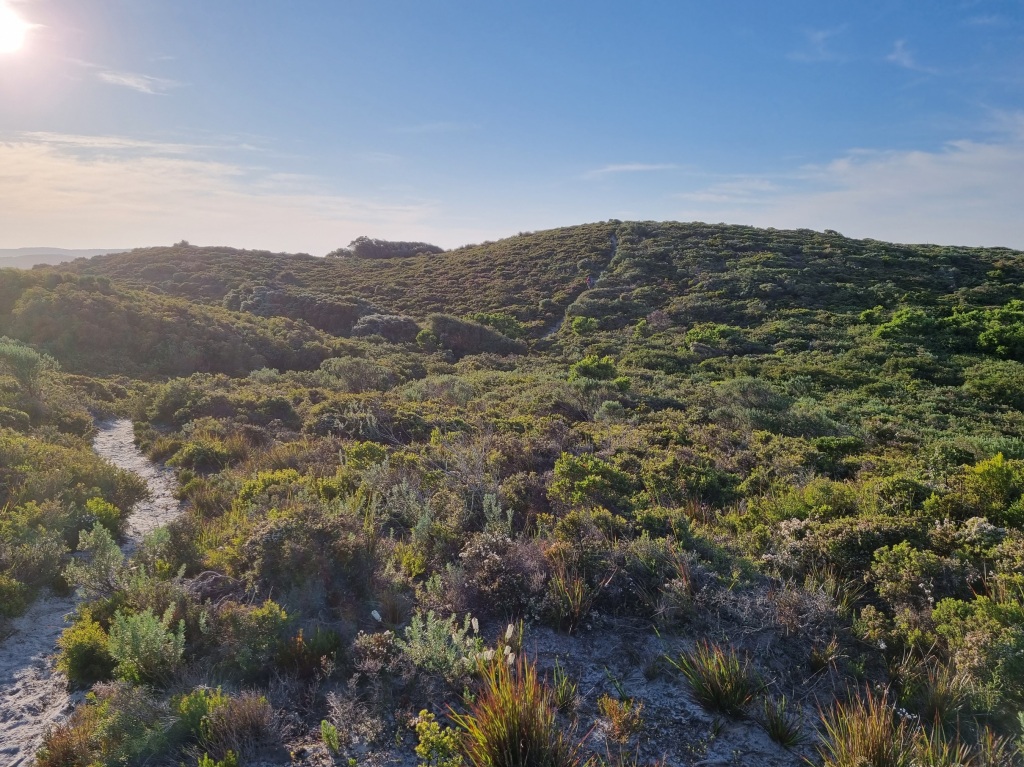
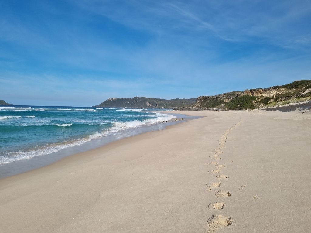
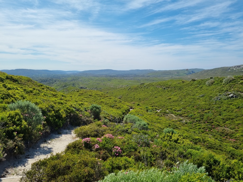
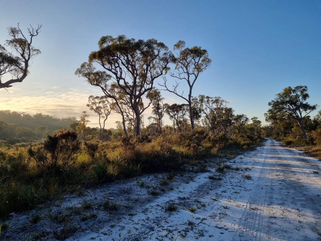
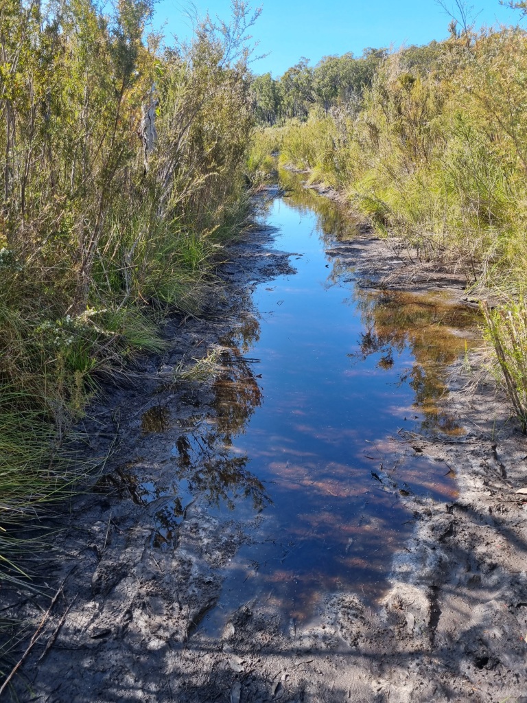
Day 50: Torbay Campsite to Sandpatch Campsite
Scheduled distance: 24.5km
Actual distance: 25.55km
Running(hiking) total: 991.19km
Walking time: 5:52hrs
Total time: 6:32hrs
Total ascent: 545m Total descent: 469m
Cumulative Creepy Crawlies Count: Snakes 8.5 Ticks 1 Leeches 0
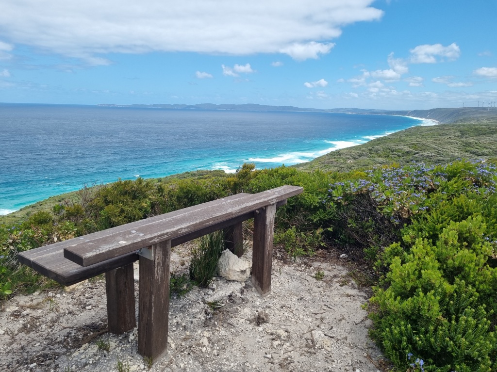
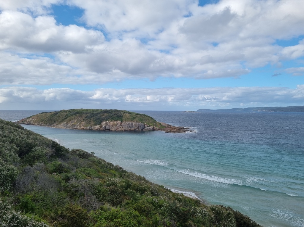
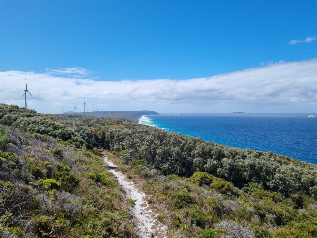
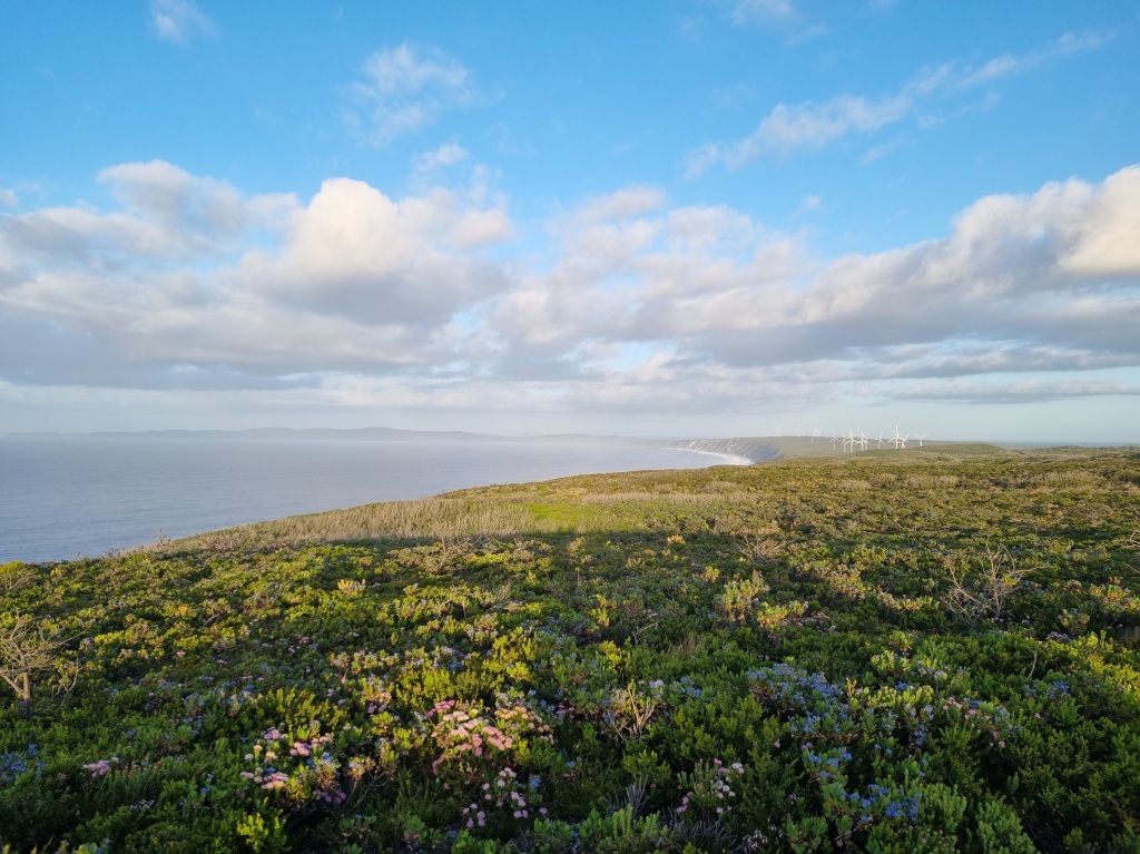
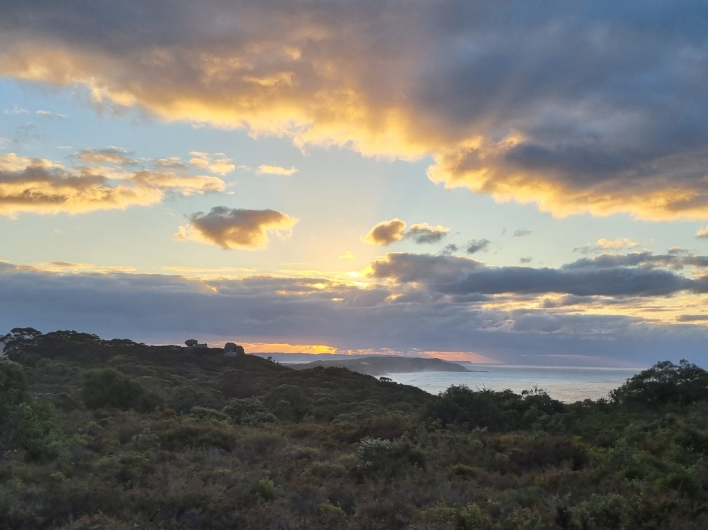
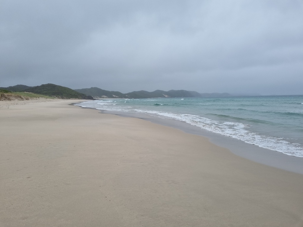
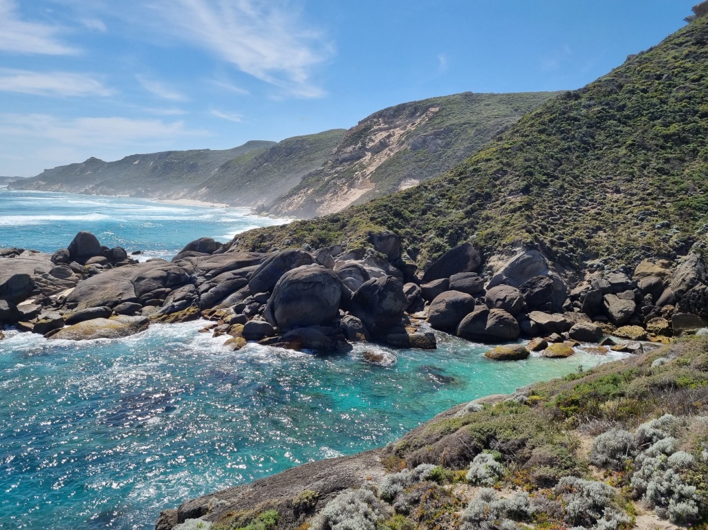
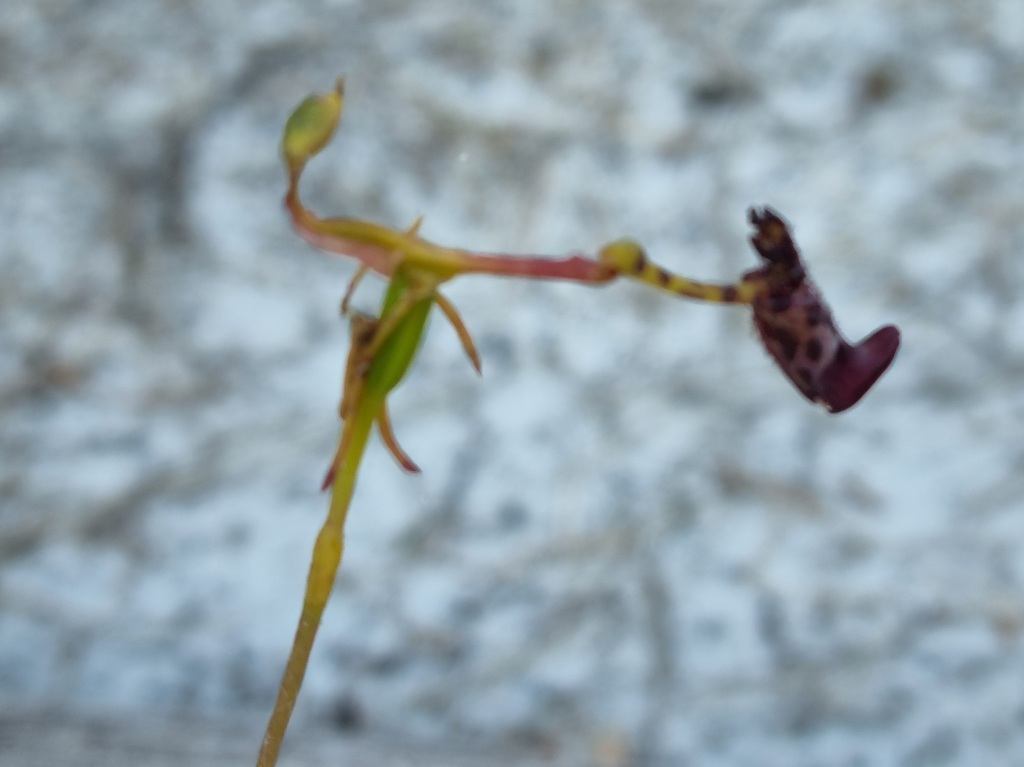
The Day I Walked Into The Last Campsite
With more iron supplements, extra food, a slower day with more breaks and the patience and support of Mel and another member of our tramily, Danielle, today turned into a great day.
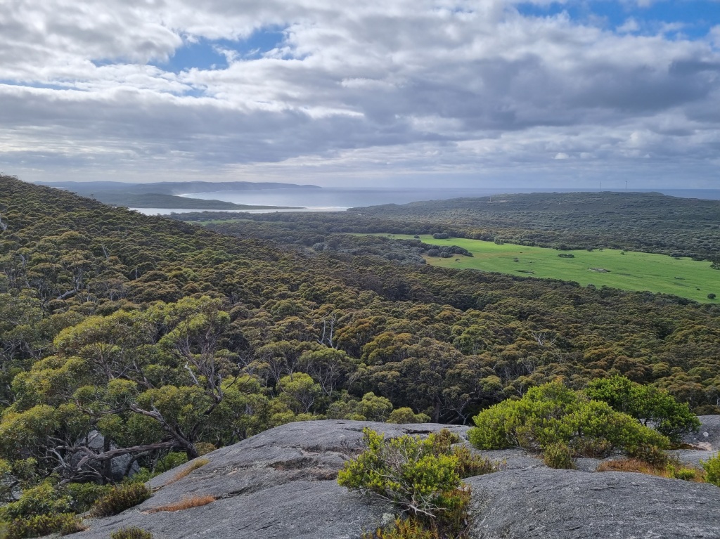
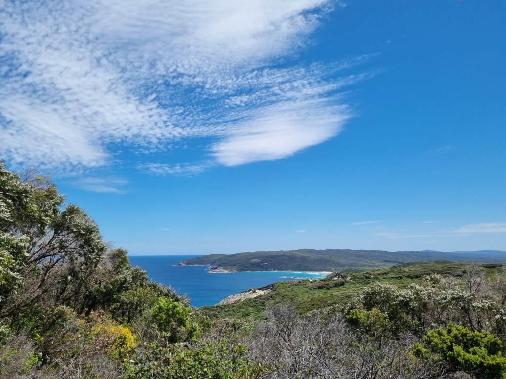
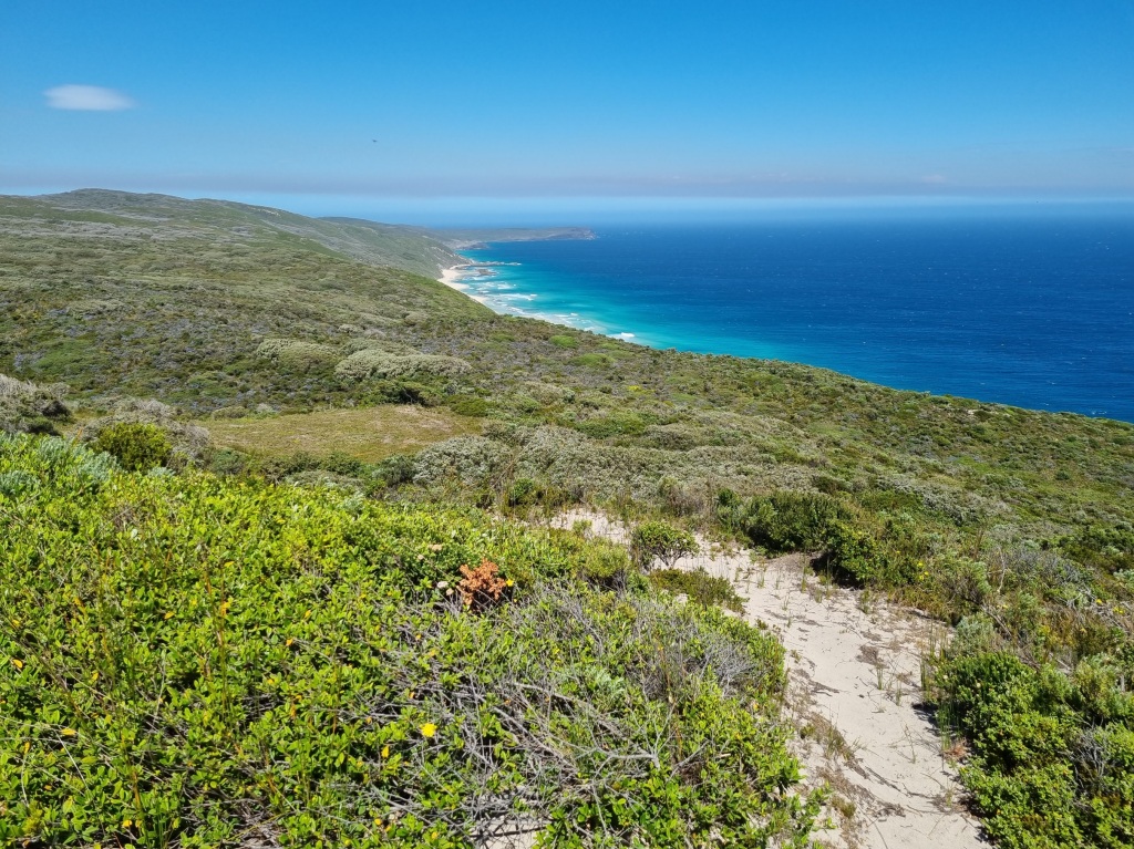
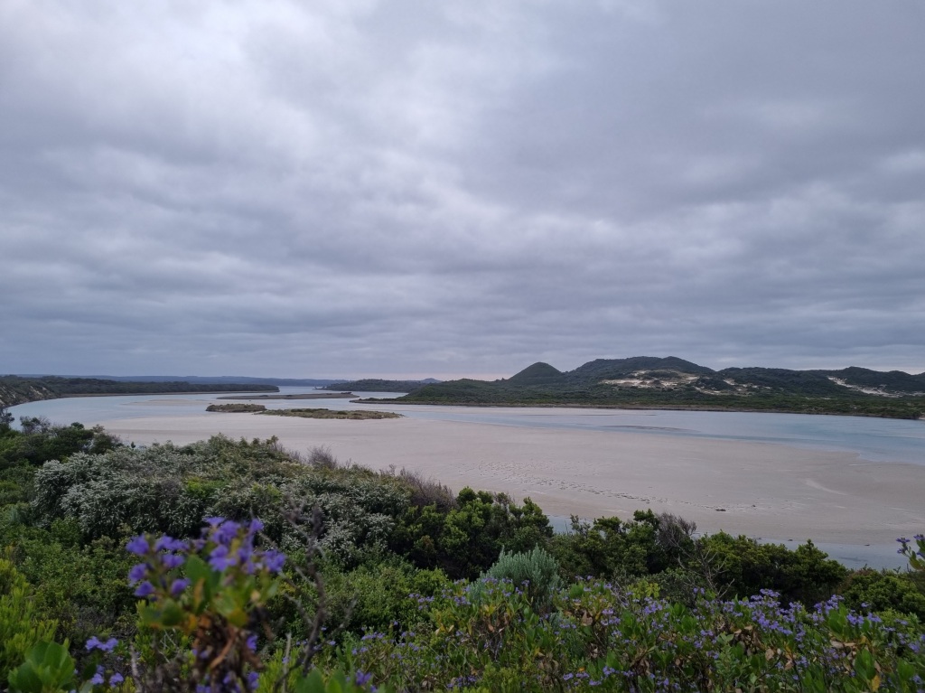
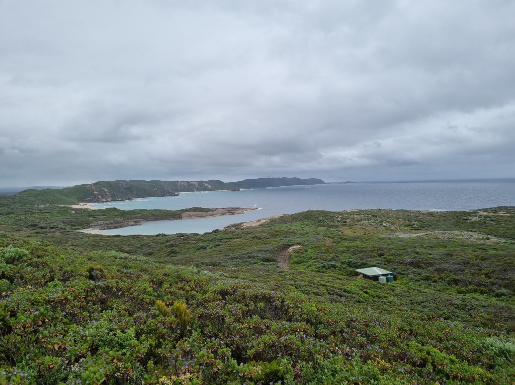
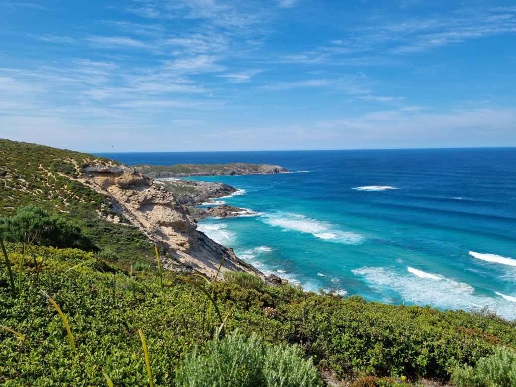
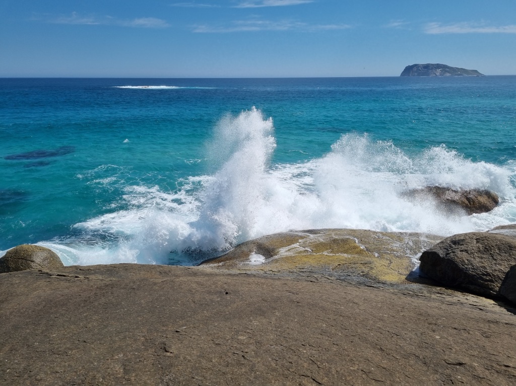
With views like this, how could I not find something to keep me going?
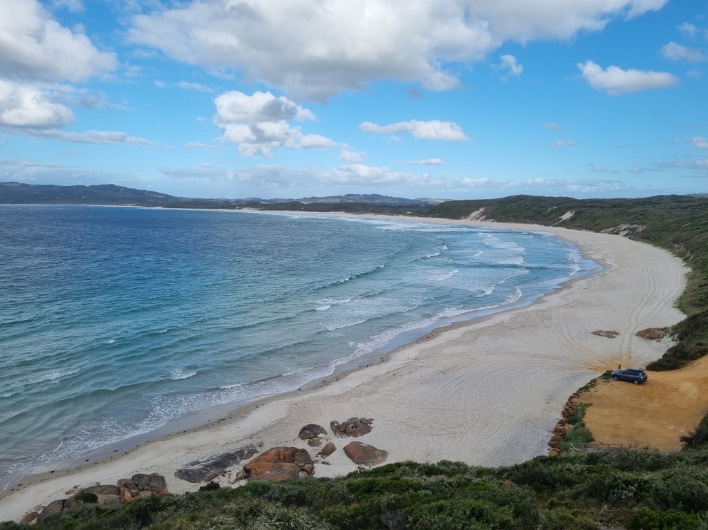
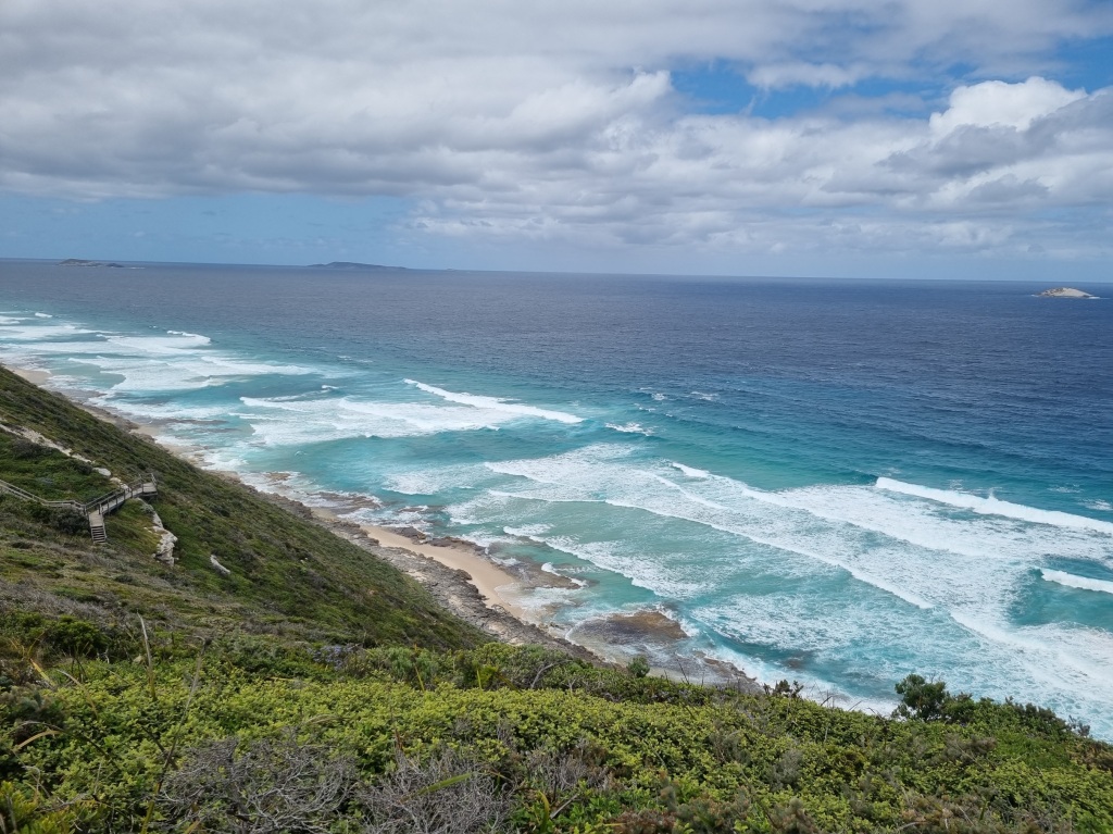
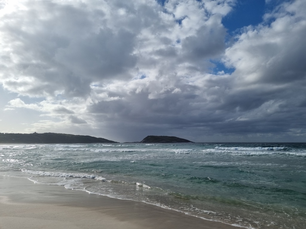
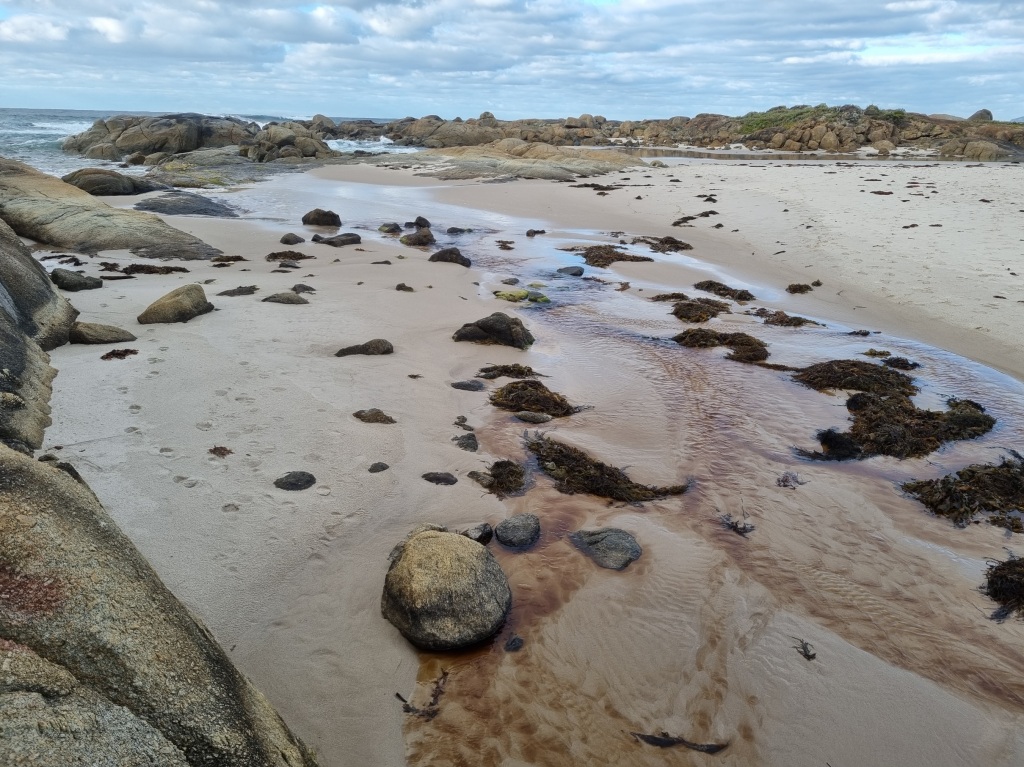
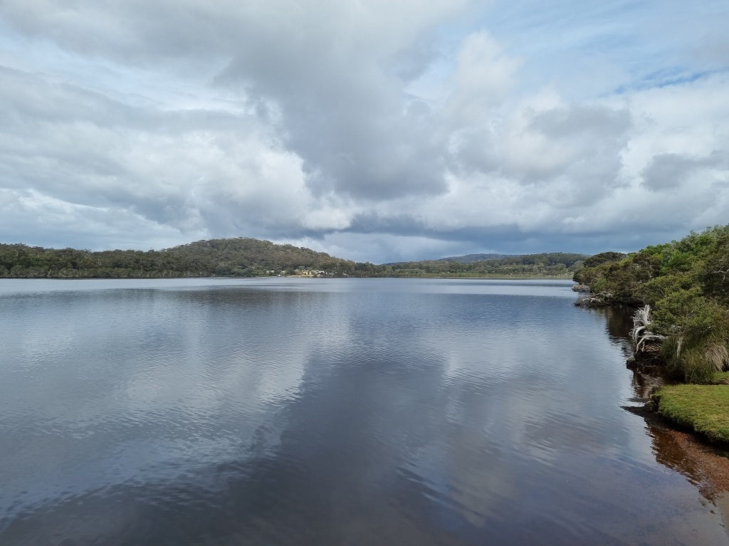
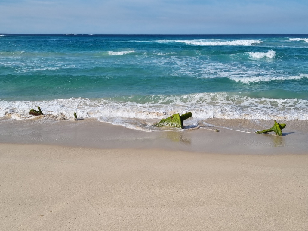
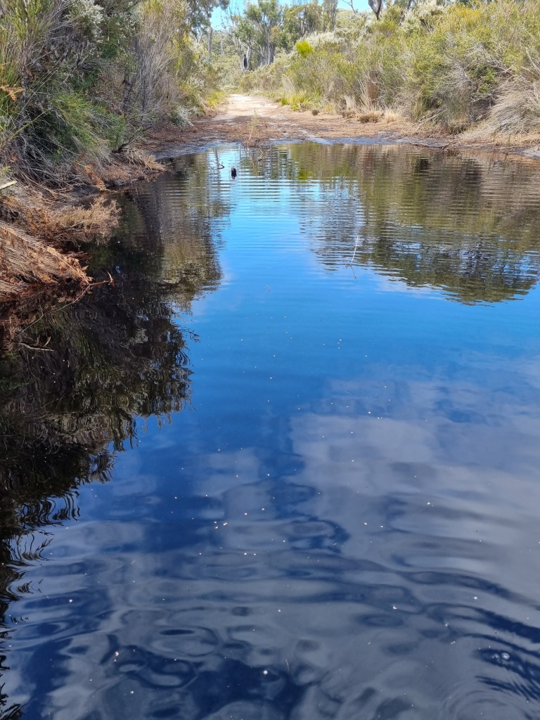
Our feet stayed dry yet again with the Torbay Inlet also closed. Part of me was disappointed; I think I would have liked the excitement of an inlet wade.
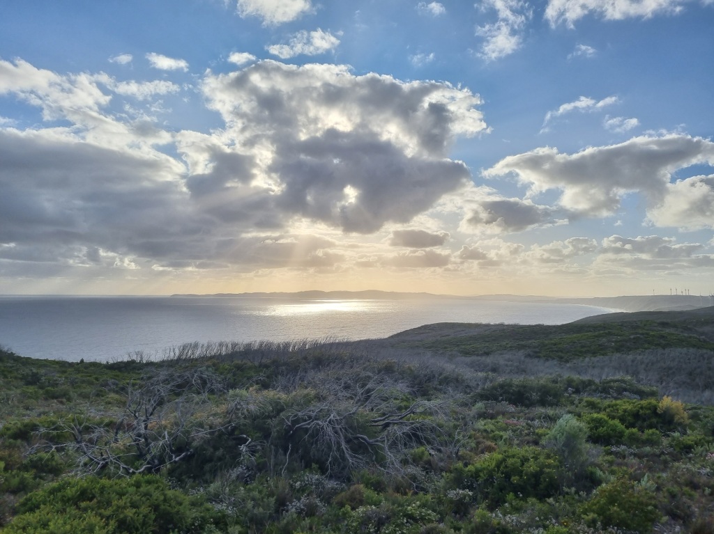
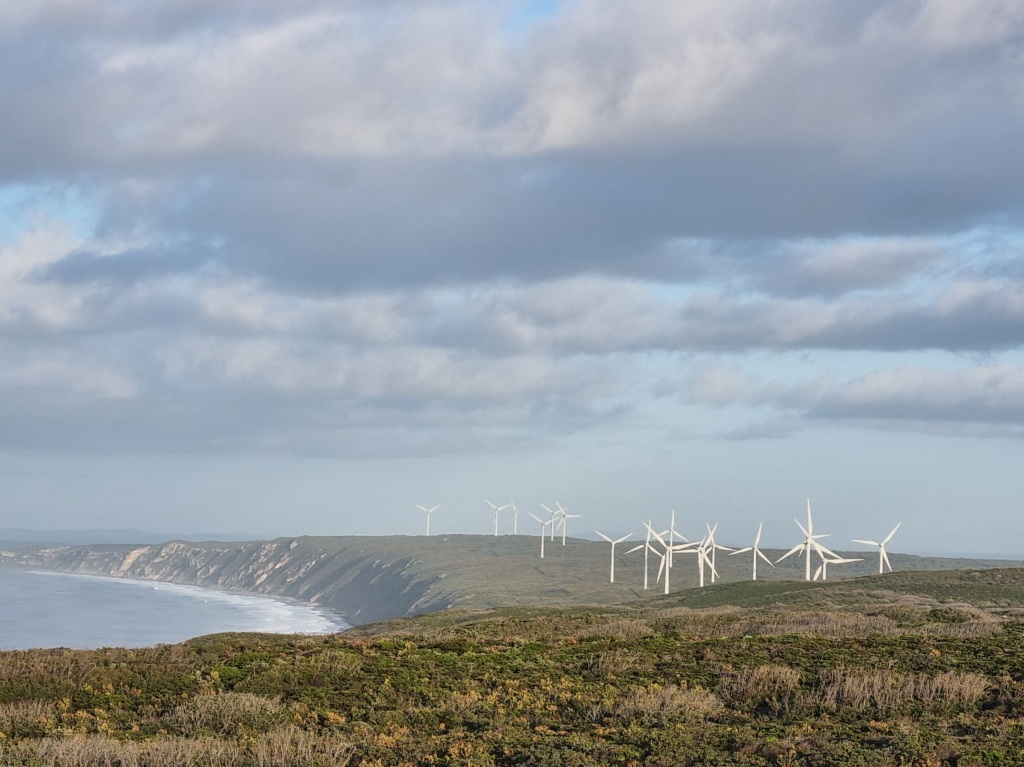
We got to walk under wind turbines. Always an impressive view of ingenuity and engineering.

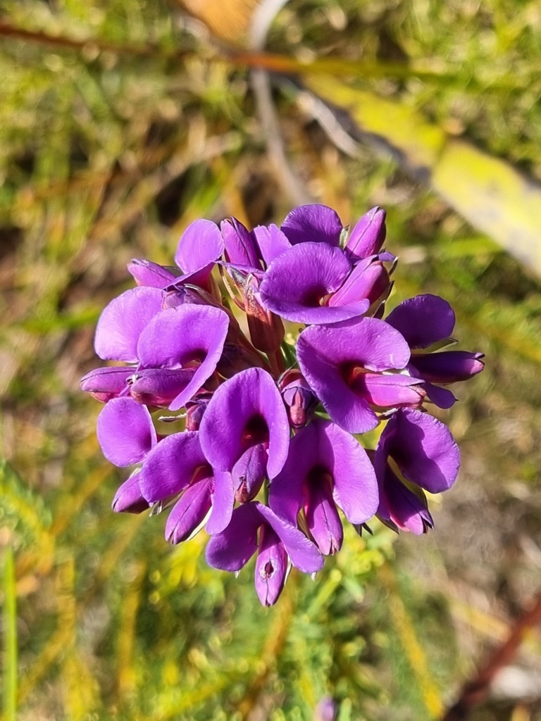
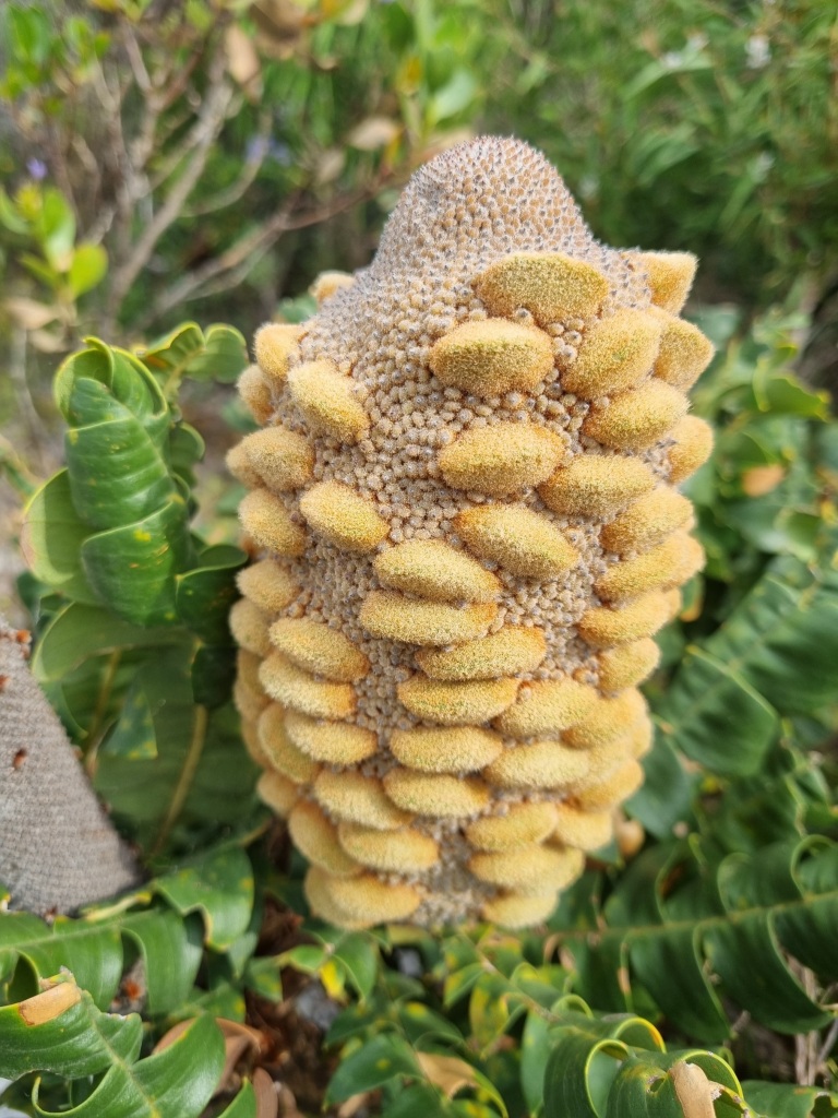
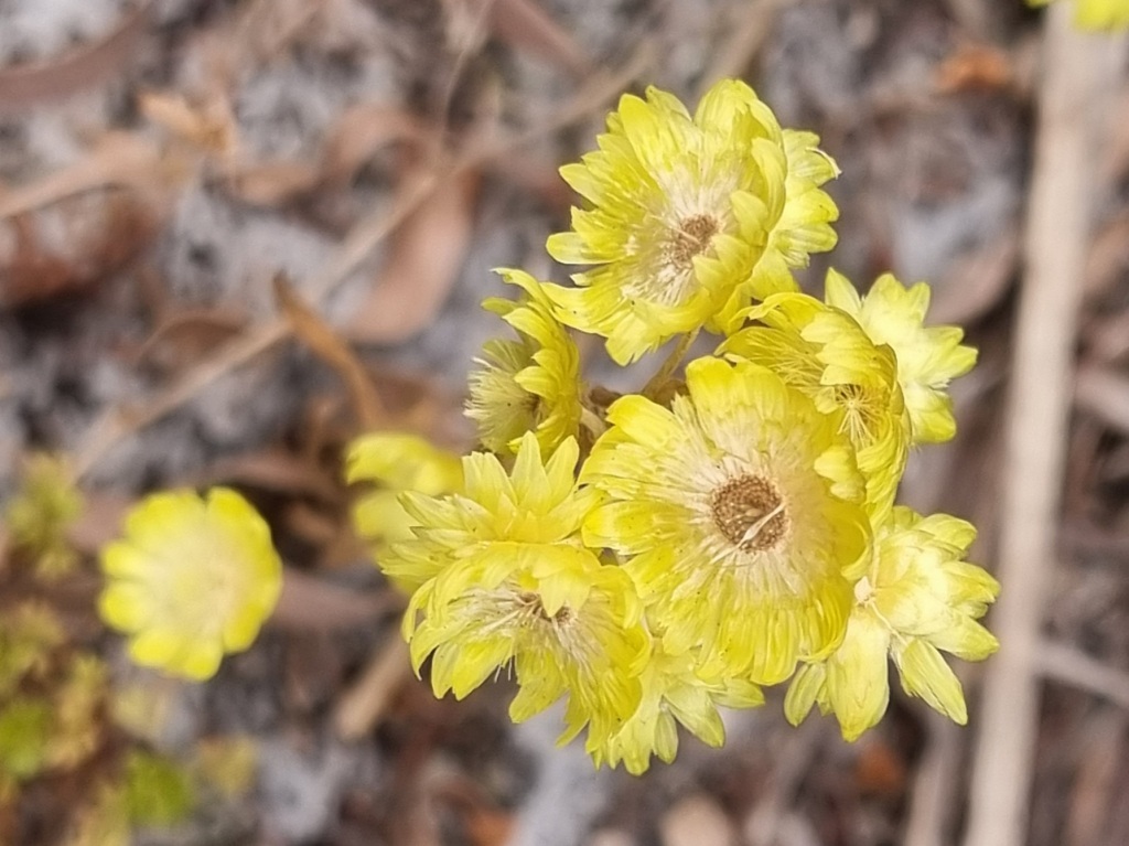
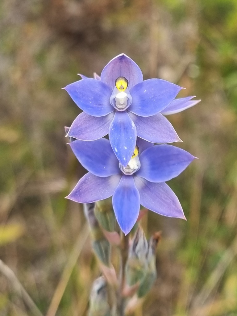
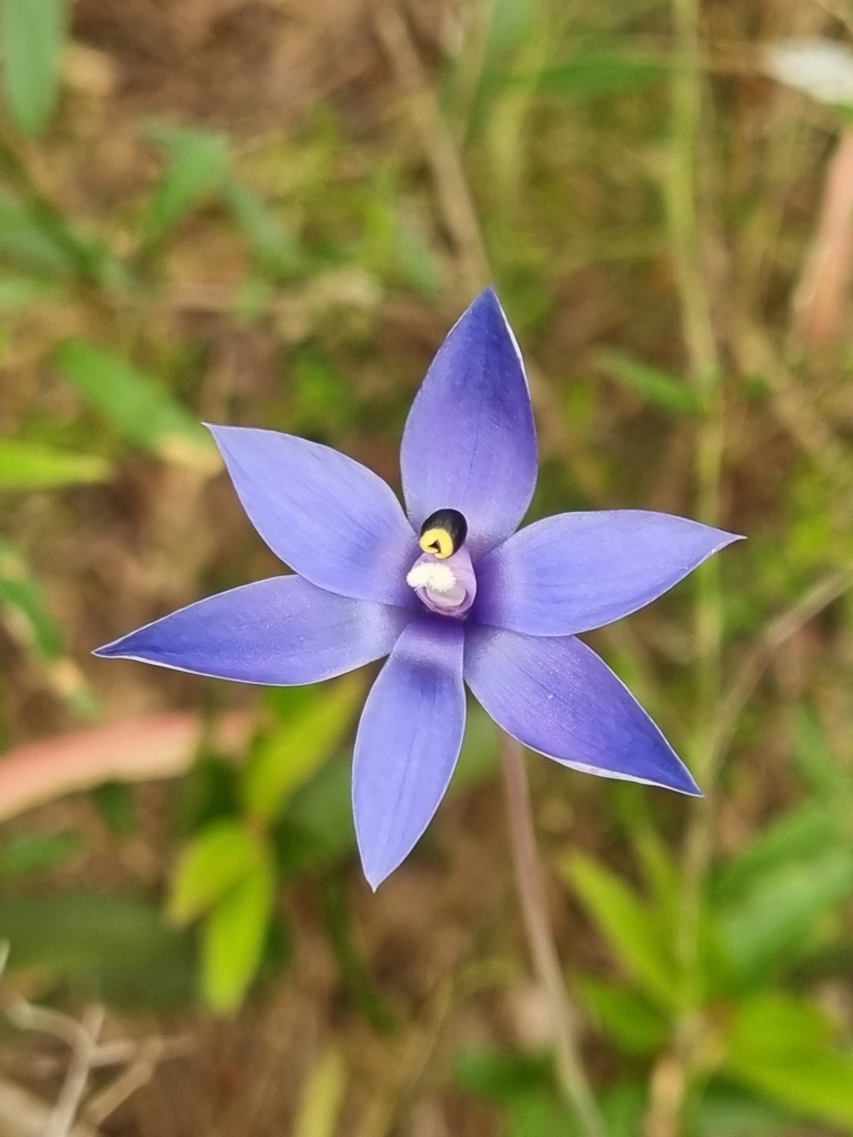
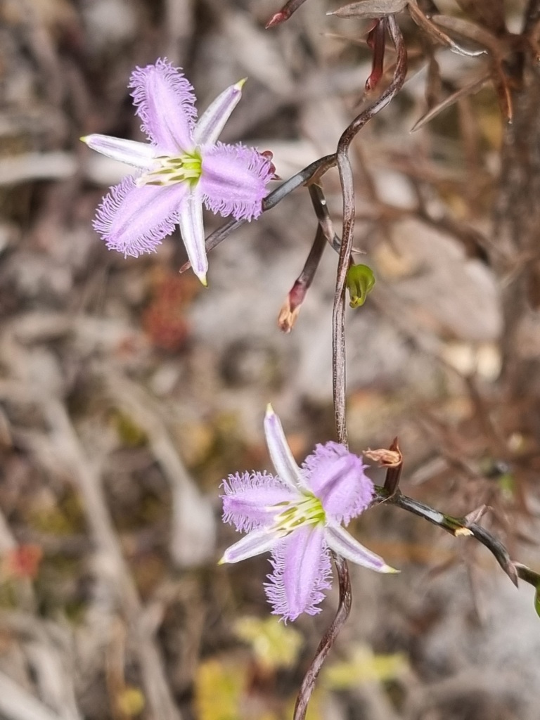
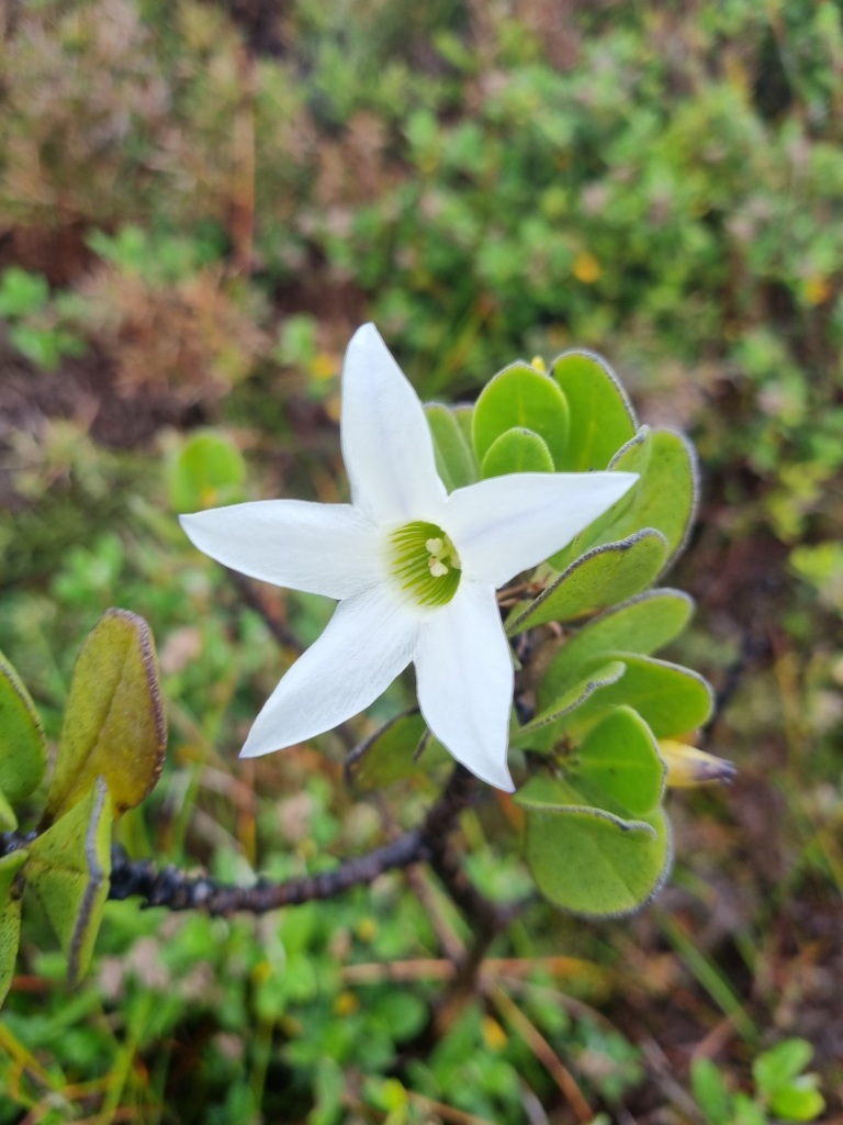
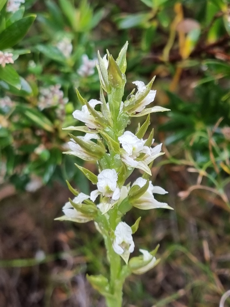
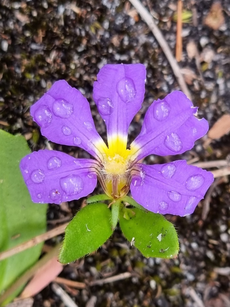
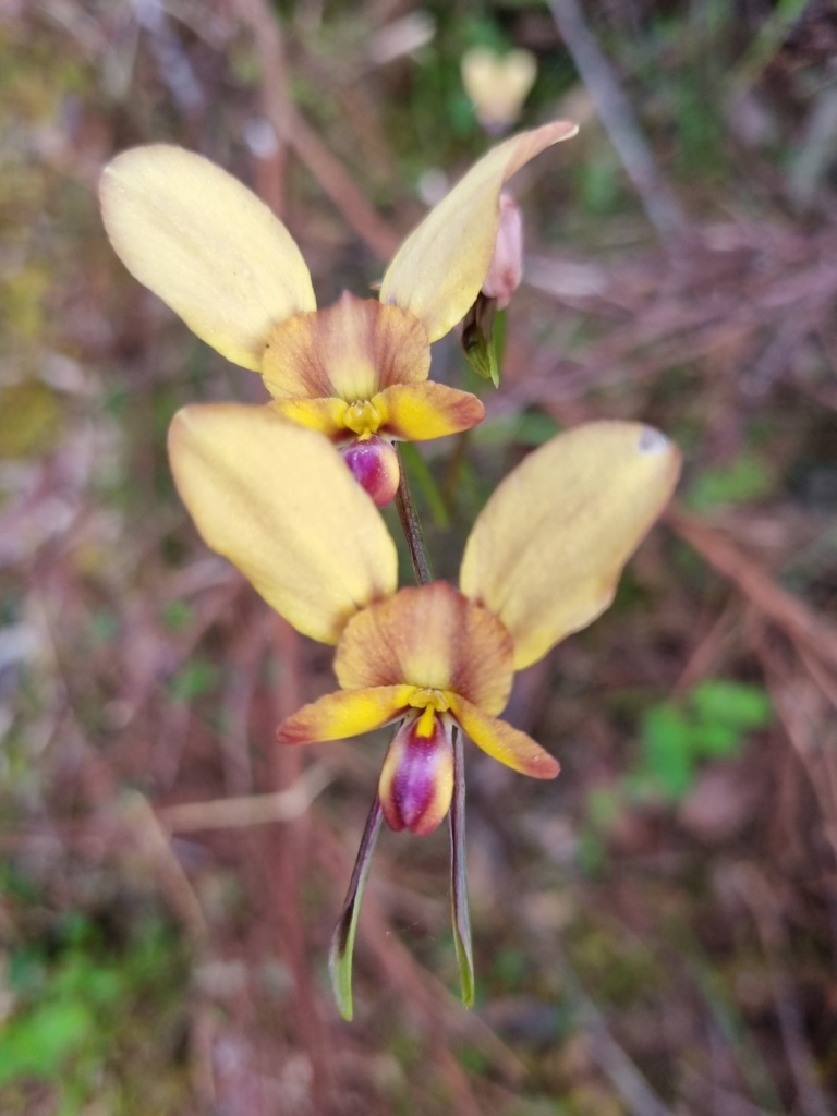
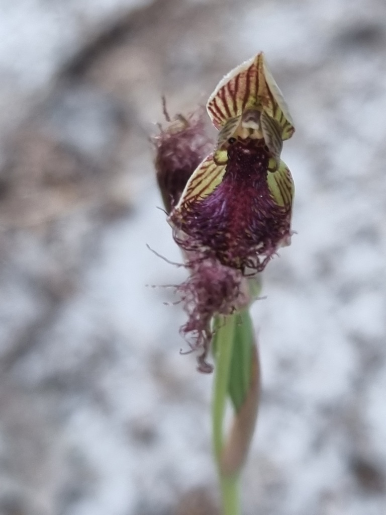
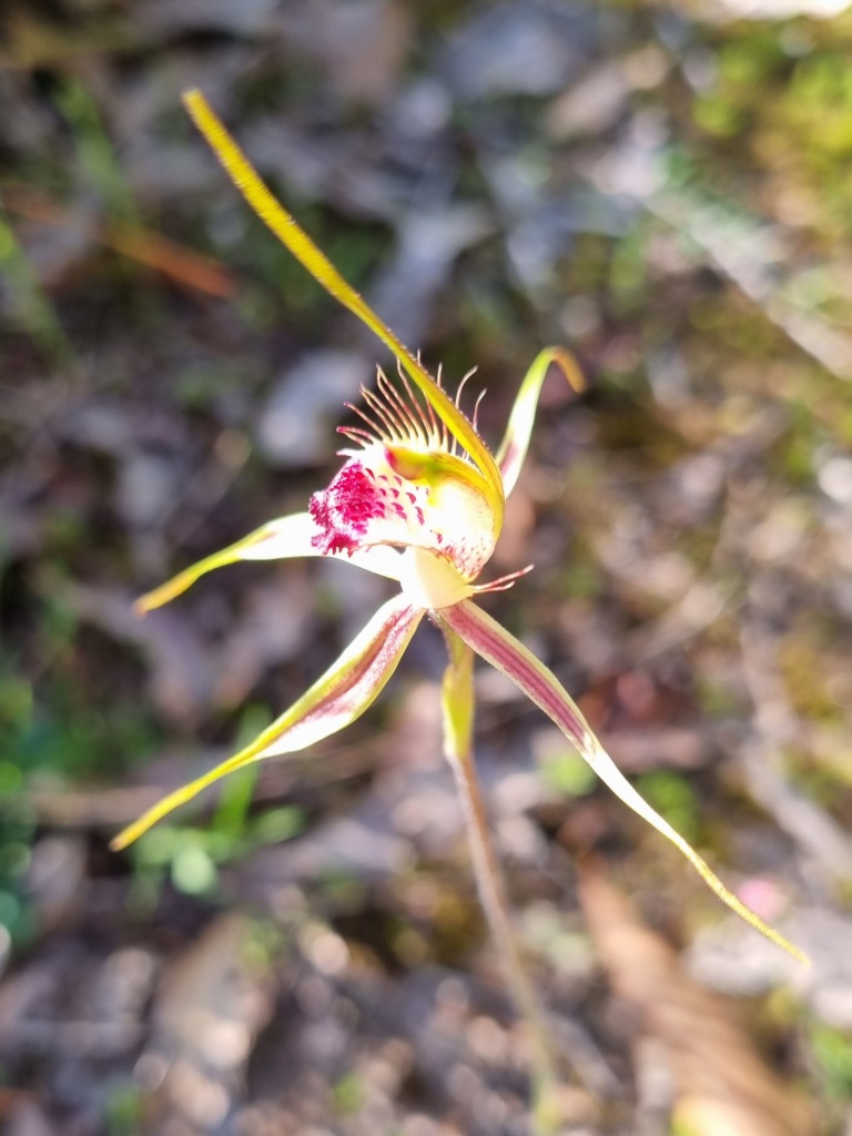
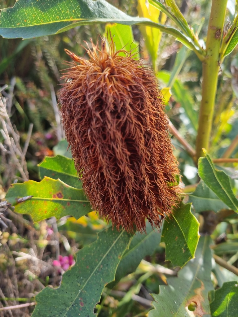
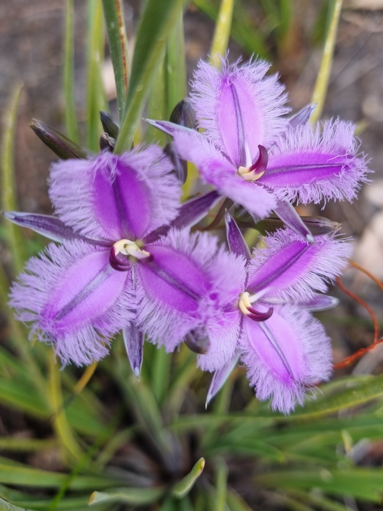
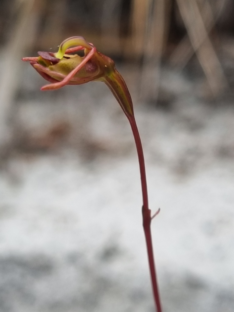
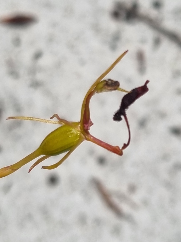
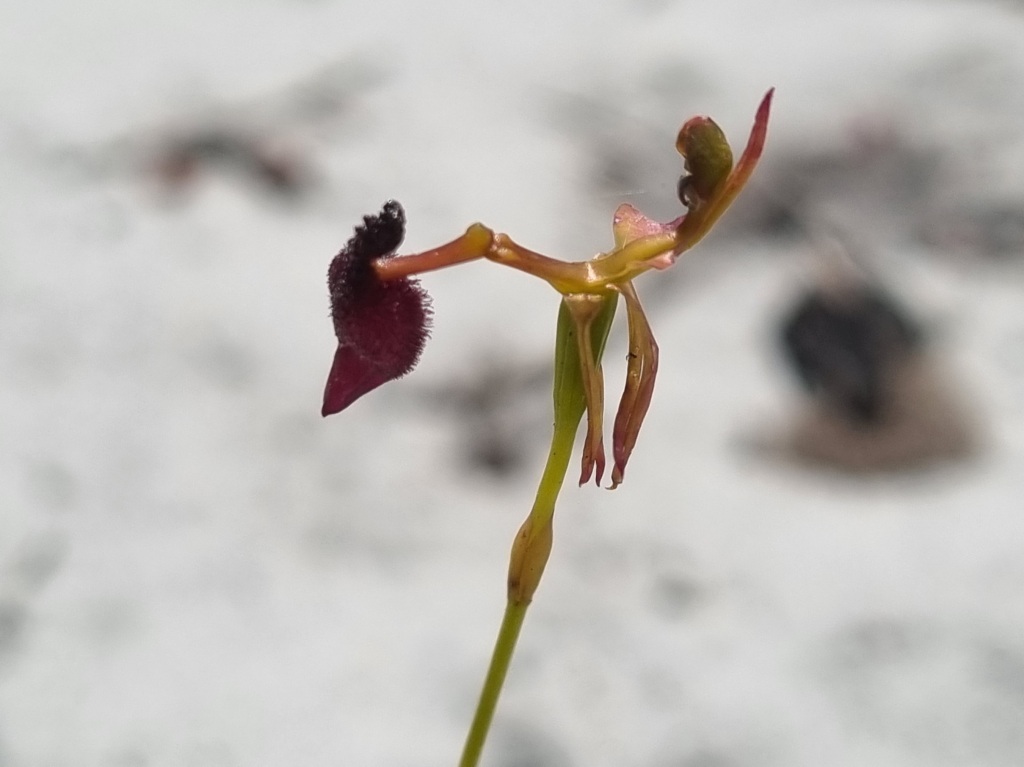
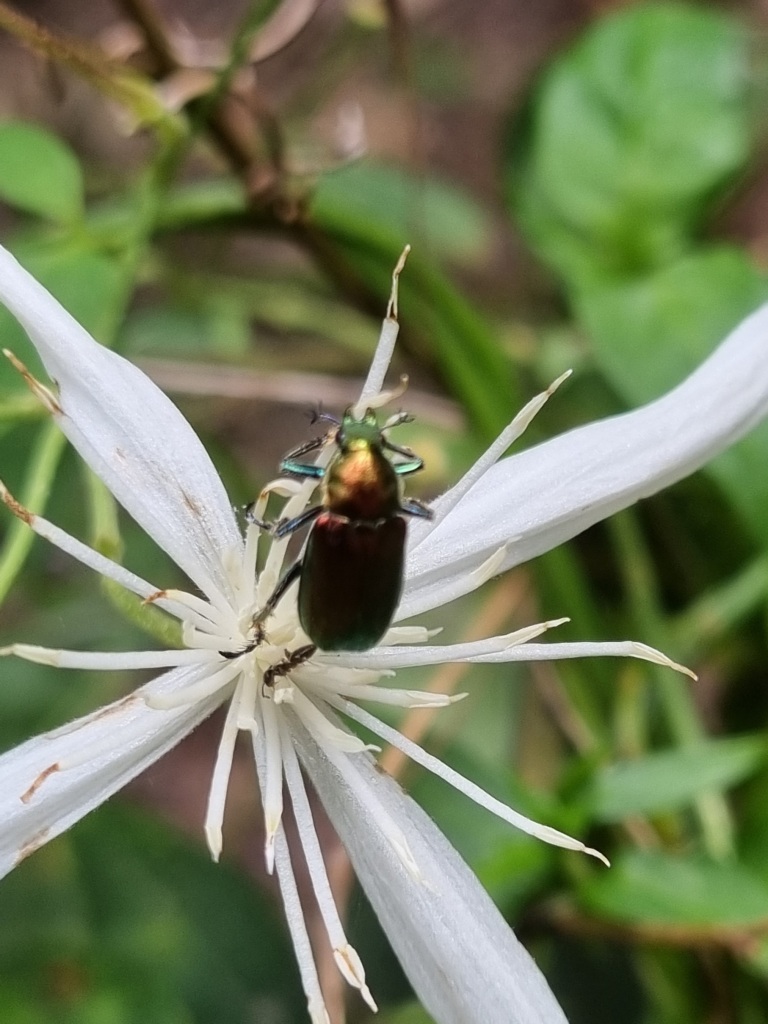
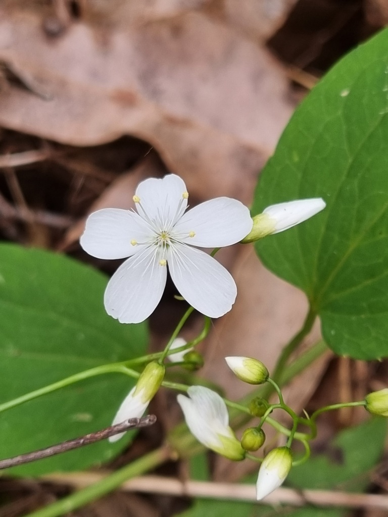
Major highlight today was spotting a new orchid.
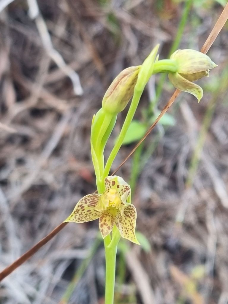
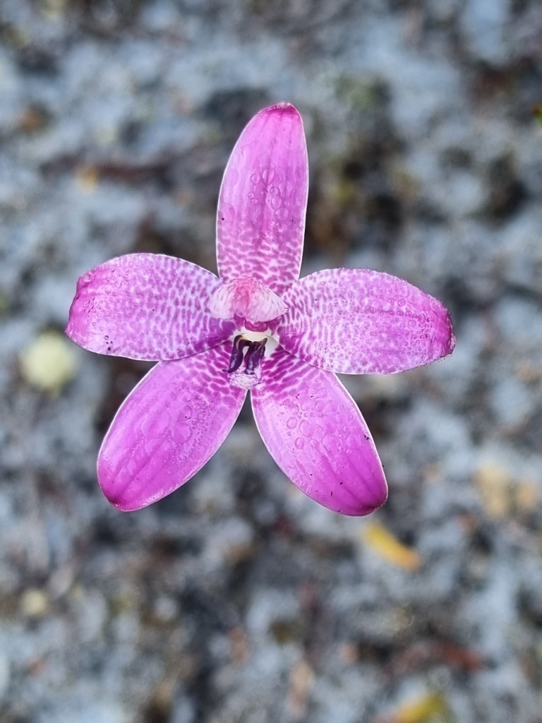
This one was also pretty.
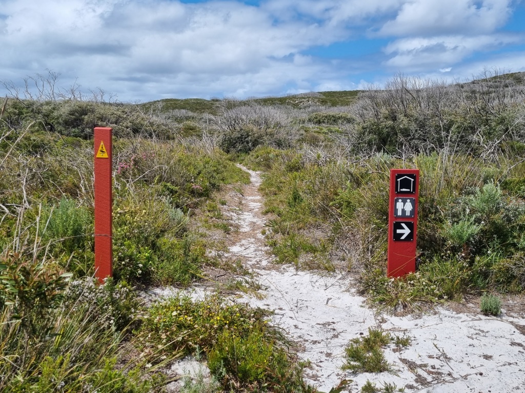
We skipped Muttonbird Campsite, having been warned it can be Mosquito Central but it didn’t seem that bad when we were there. Then on to Sandpatch Campsite, our last one.
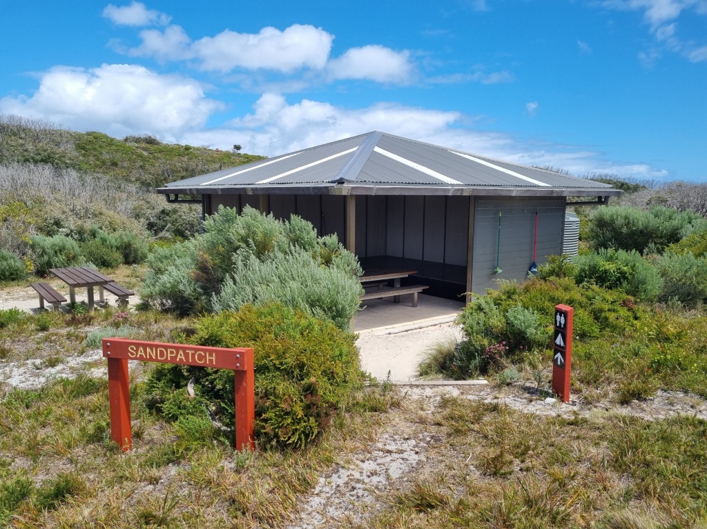
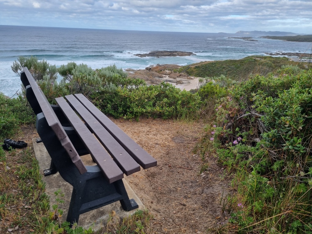
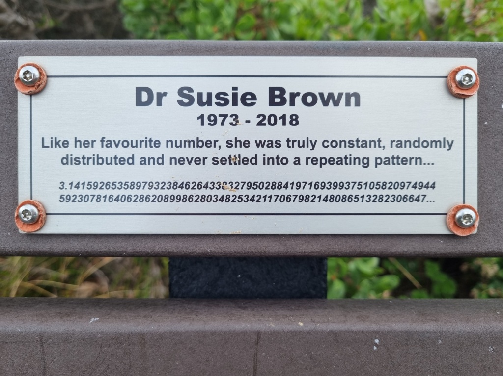
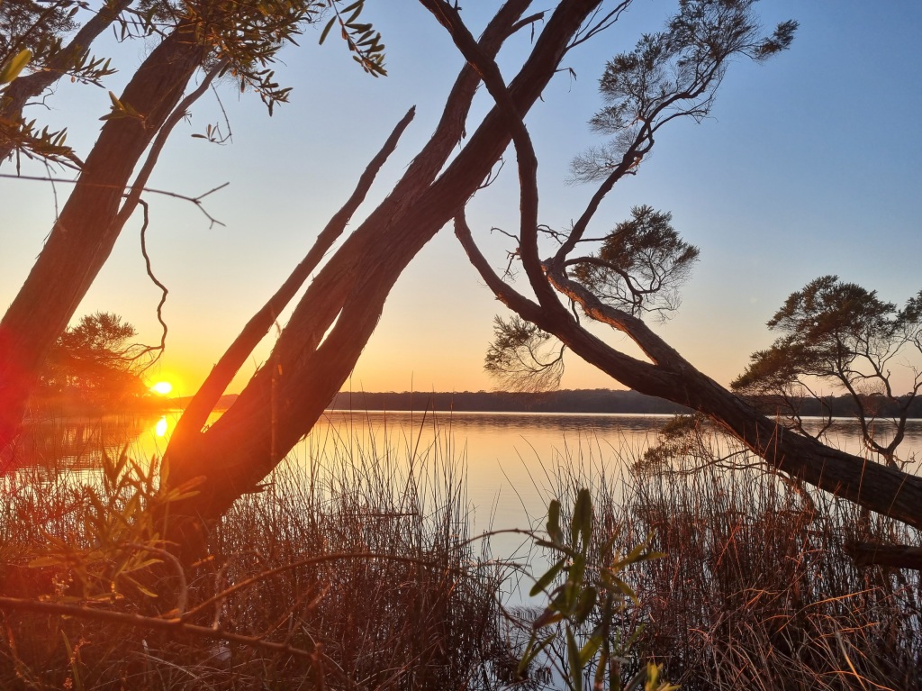
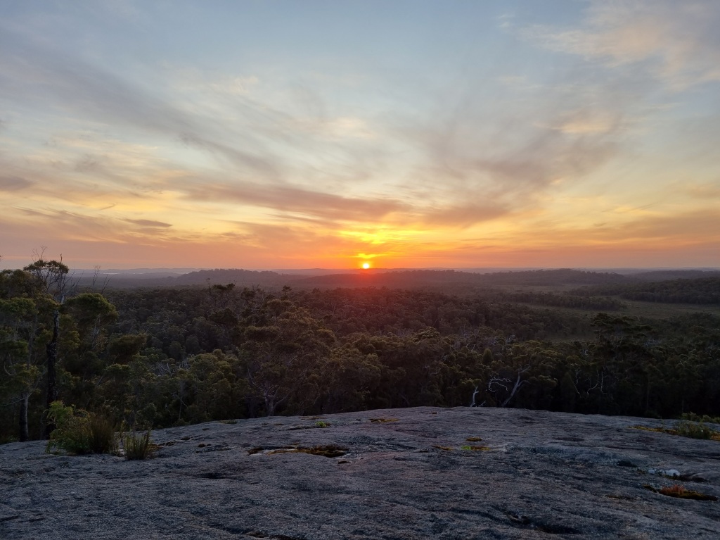
We spent the afternoon with the bees that have taken up residence in a corner of the shelter. At least bees go to bed when the sun starts going down. They’re better behaved than mosquitos. This was another campsite with a short track behind it to enjoy a sunset. Worth the climb every time.
We only met one snake today. Just a small one…
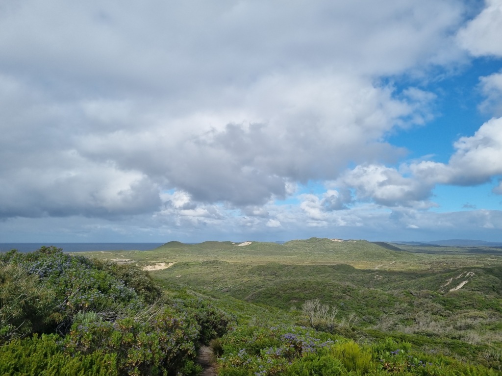
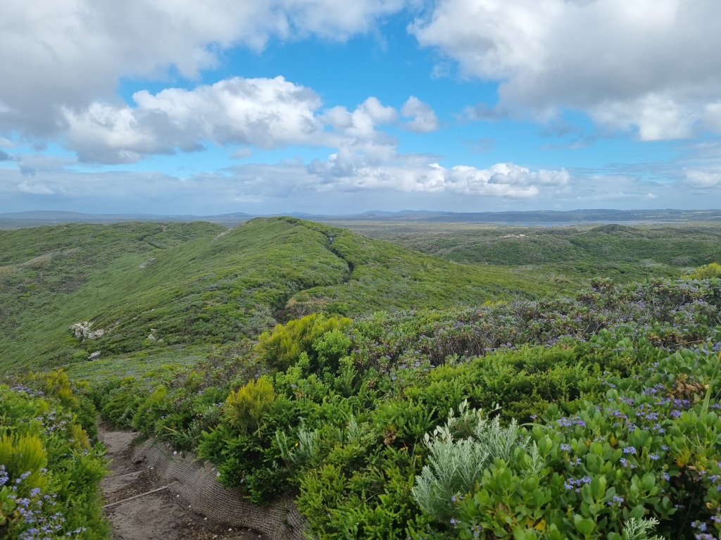
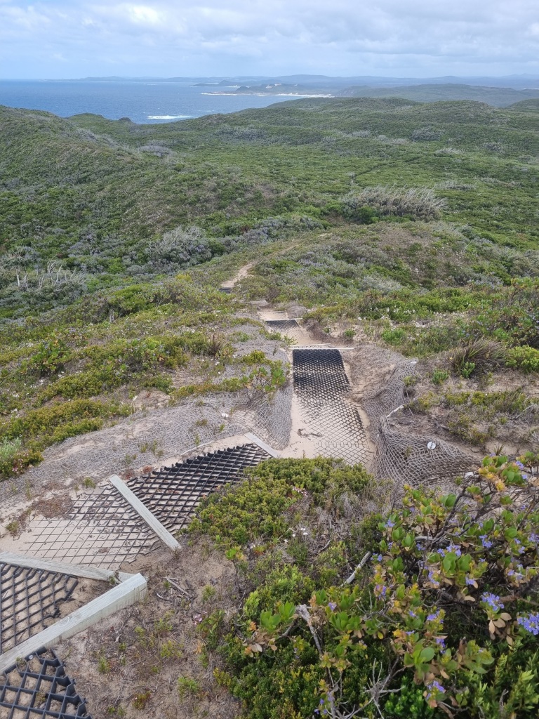
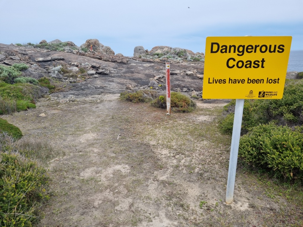
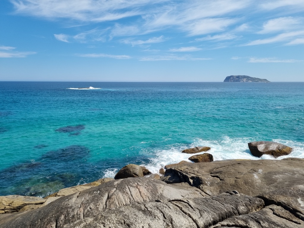
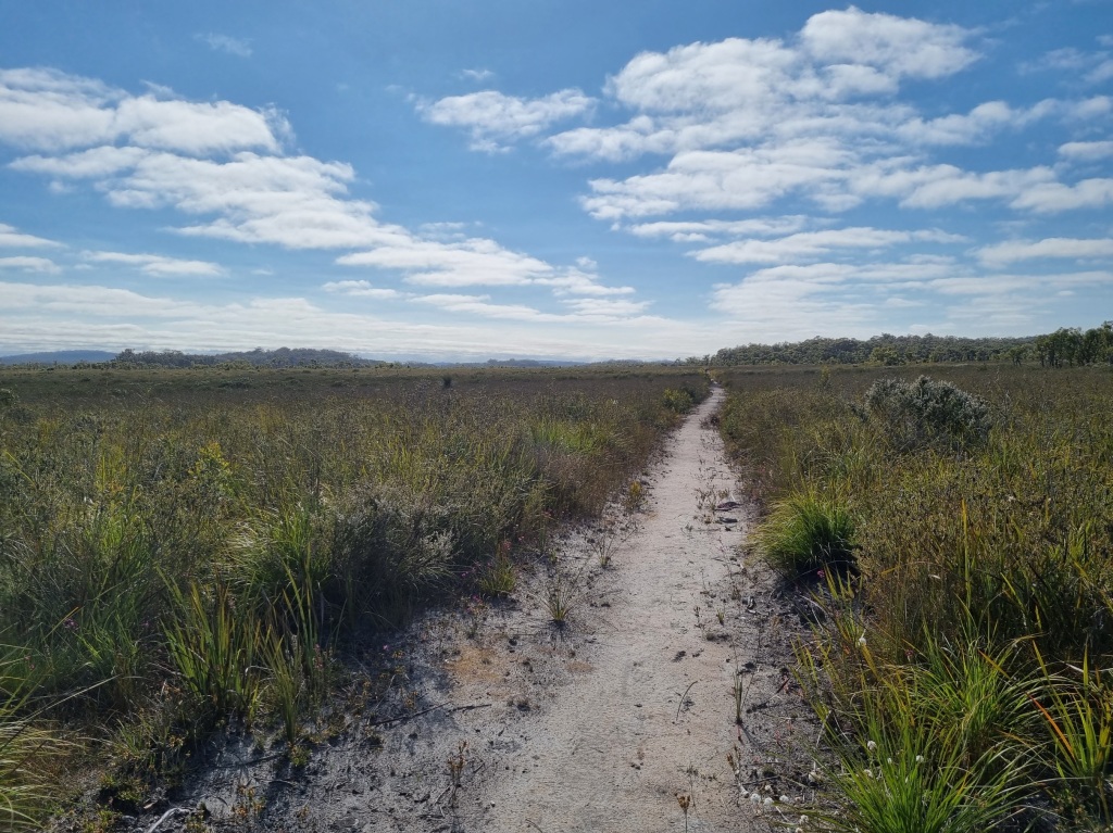
Day 51: Sandpatch Campsite to Albany
Scheduled distance: 12.5km
Actual distance: 12.59km
Running(hiking) total: 1,003.78km
Walking time: 2:43hrs
Total time: 2:43hrs
Total ascent: 129m Total descent: 251m
Cumulative Creepy Crawlies Count: Snakes 8.5 Ticks 1 Leeches 0
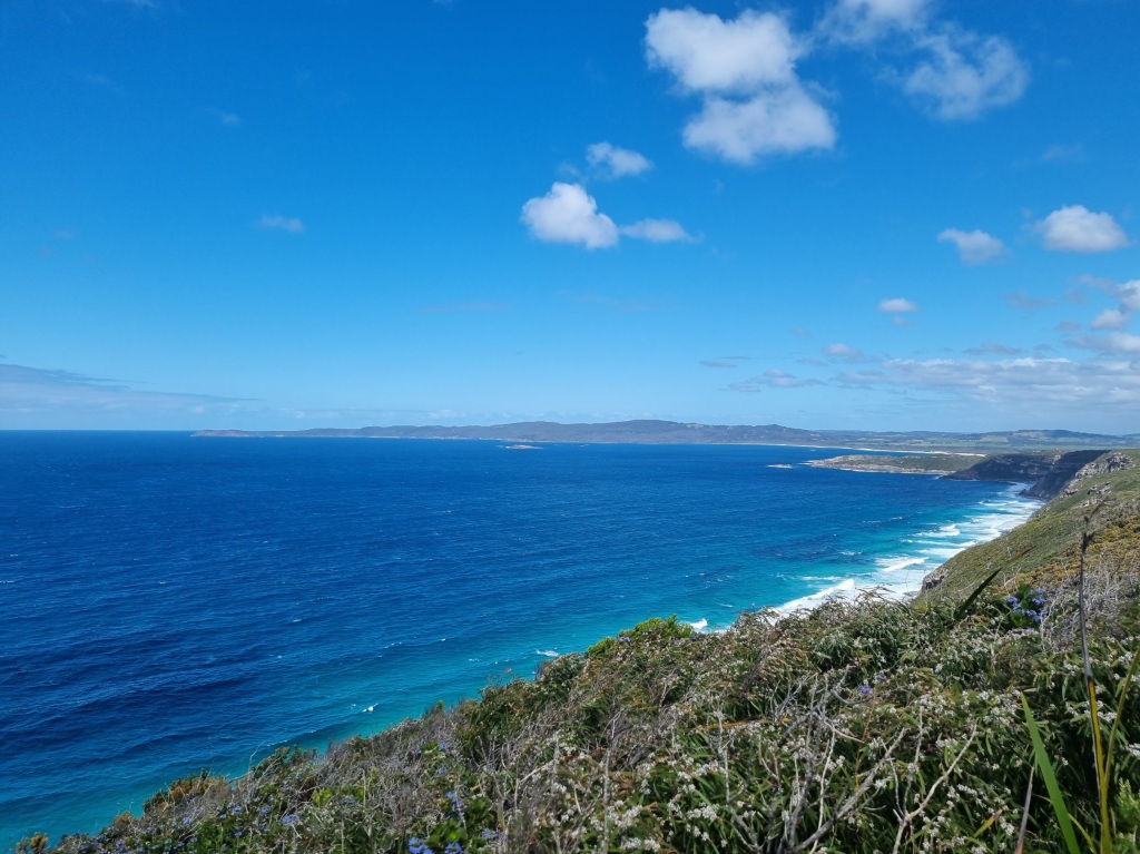
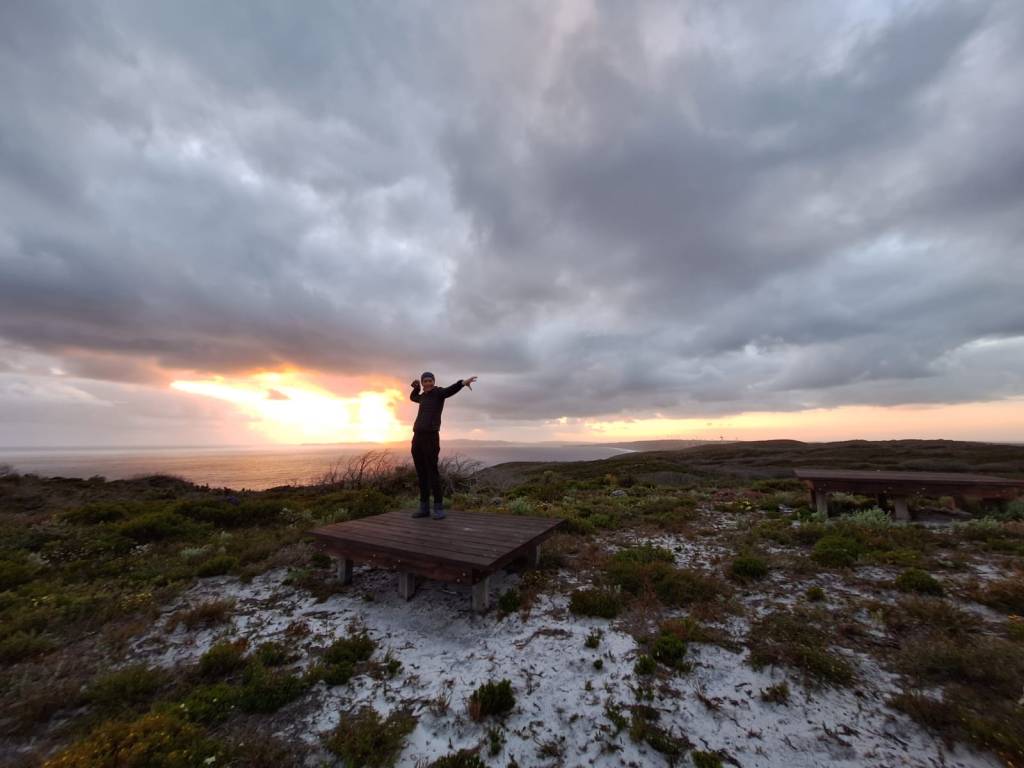
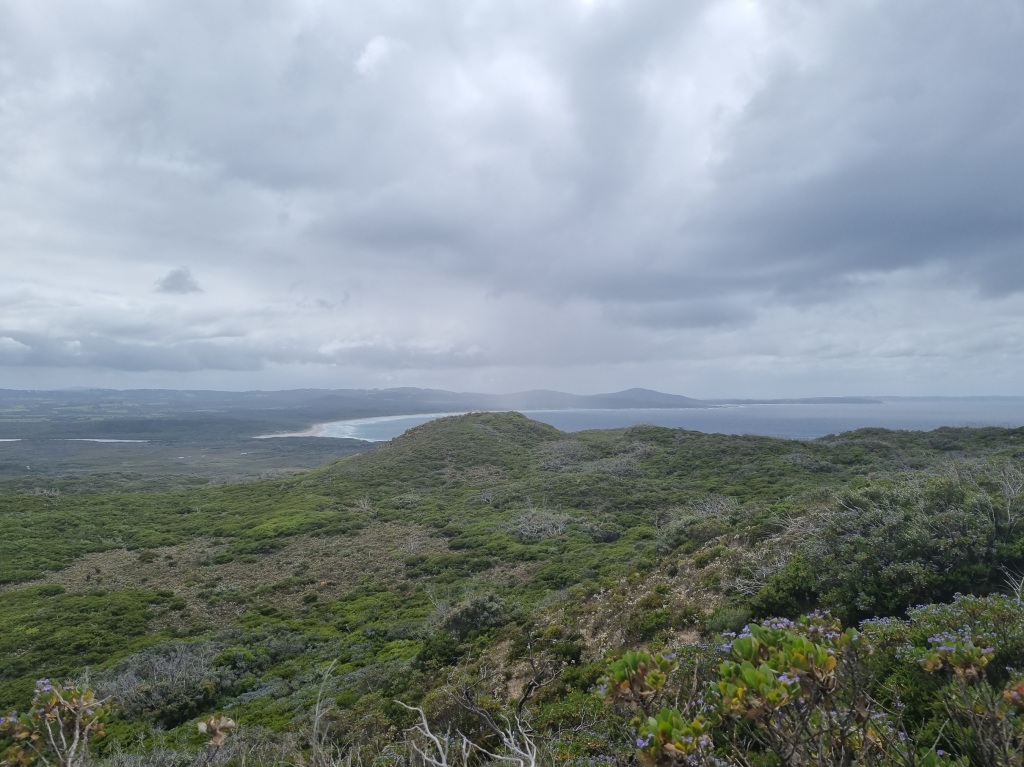
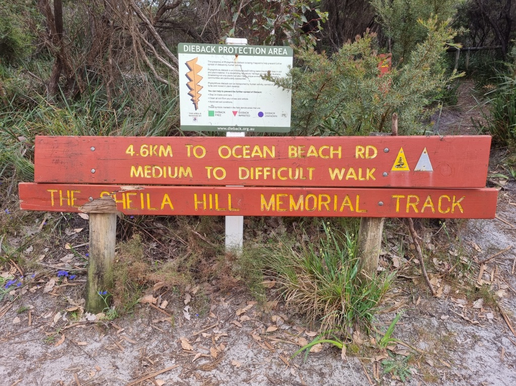
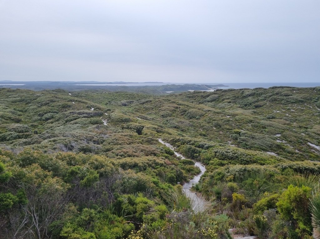
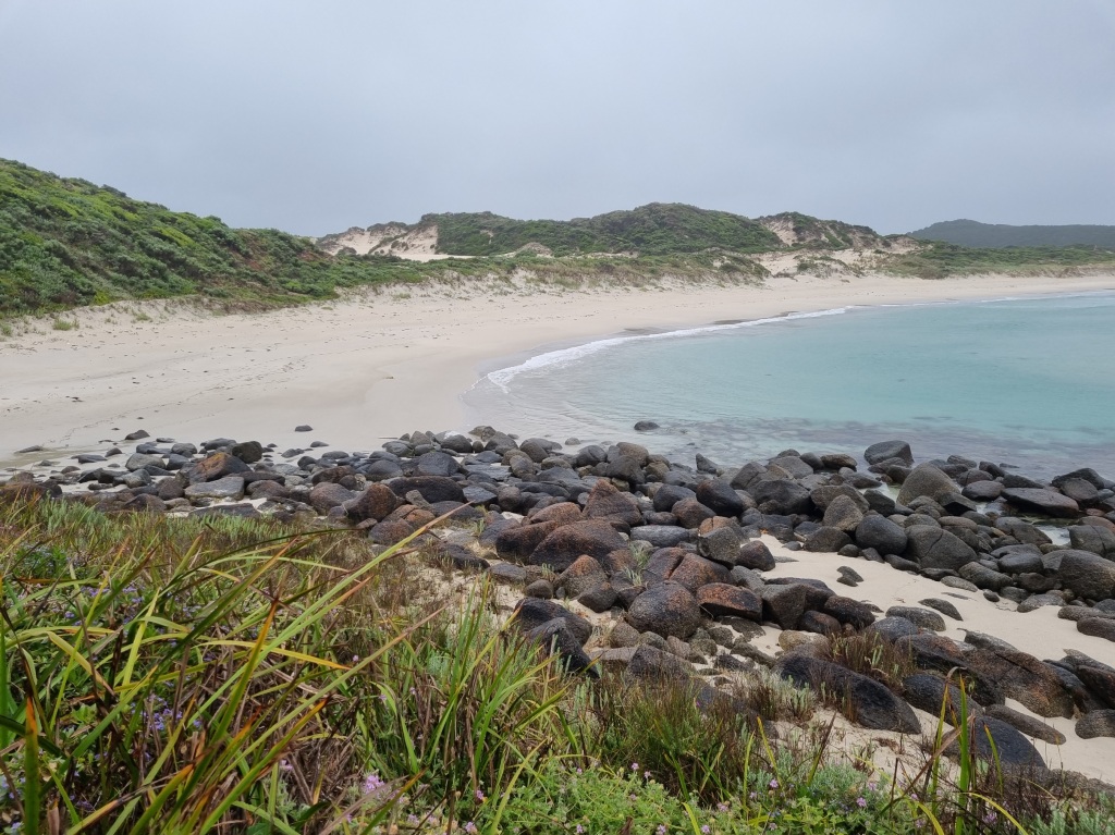
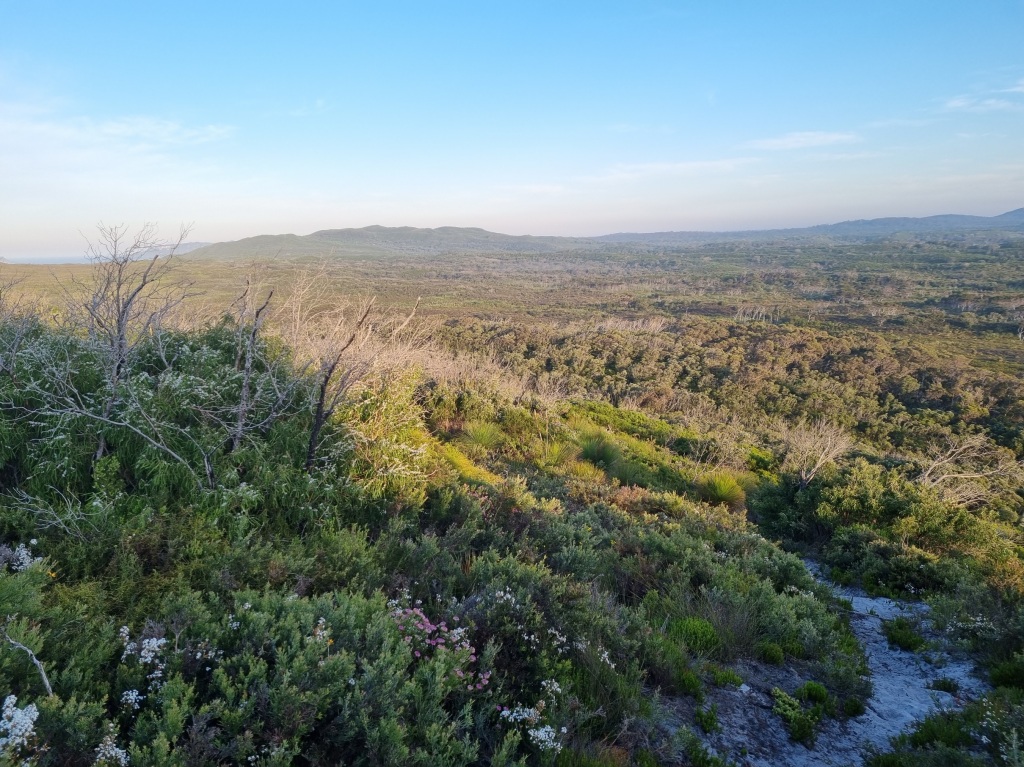
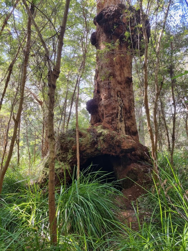
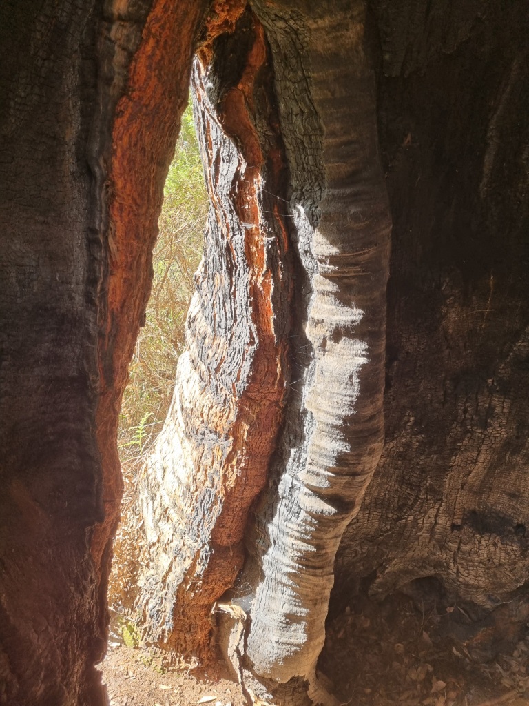
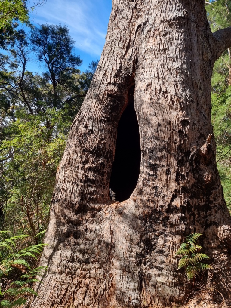
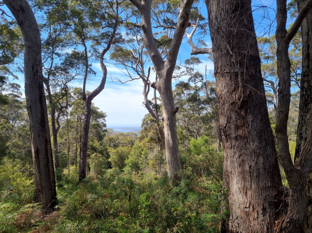
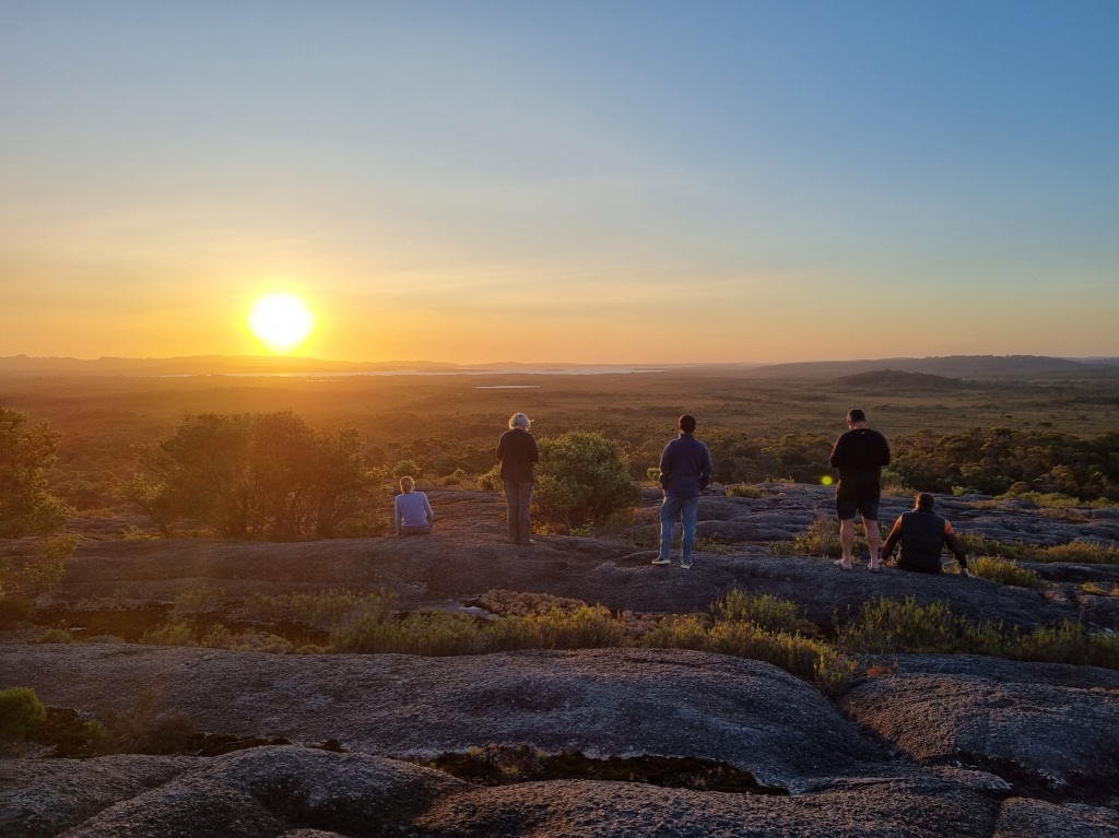
The Day I Finished the Bibbulmun Track
Well. Last day on the Bibbulmun Track. Felt surreal for it almost to be over. Where did the last 7 weeks go?
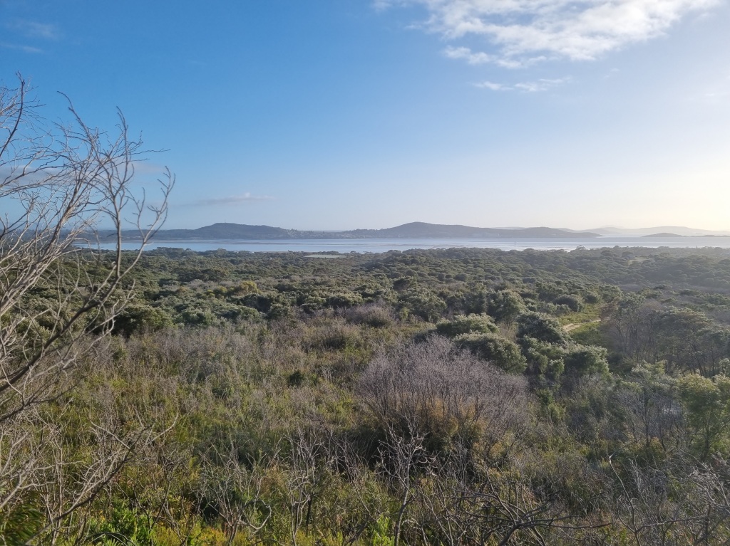
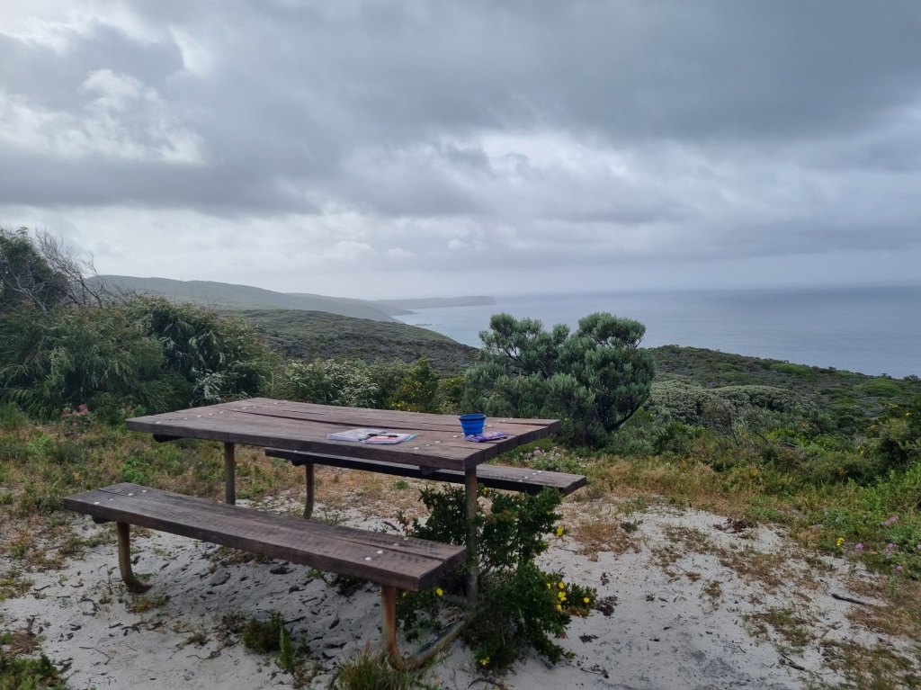
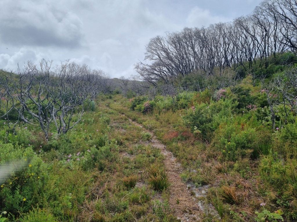
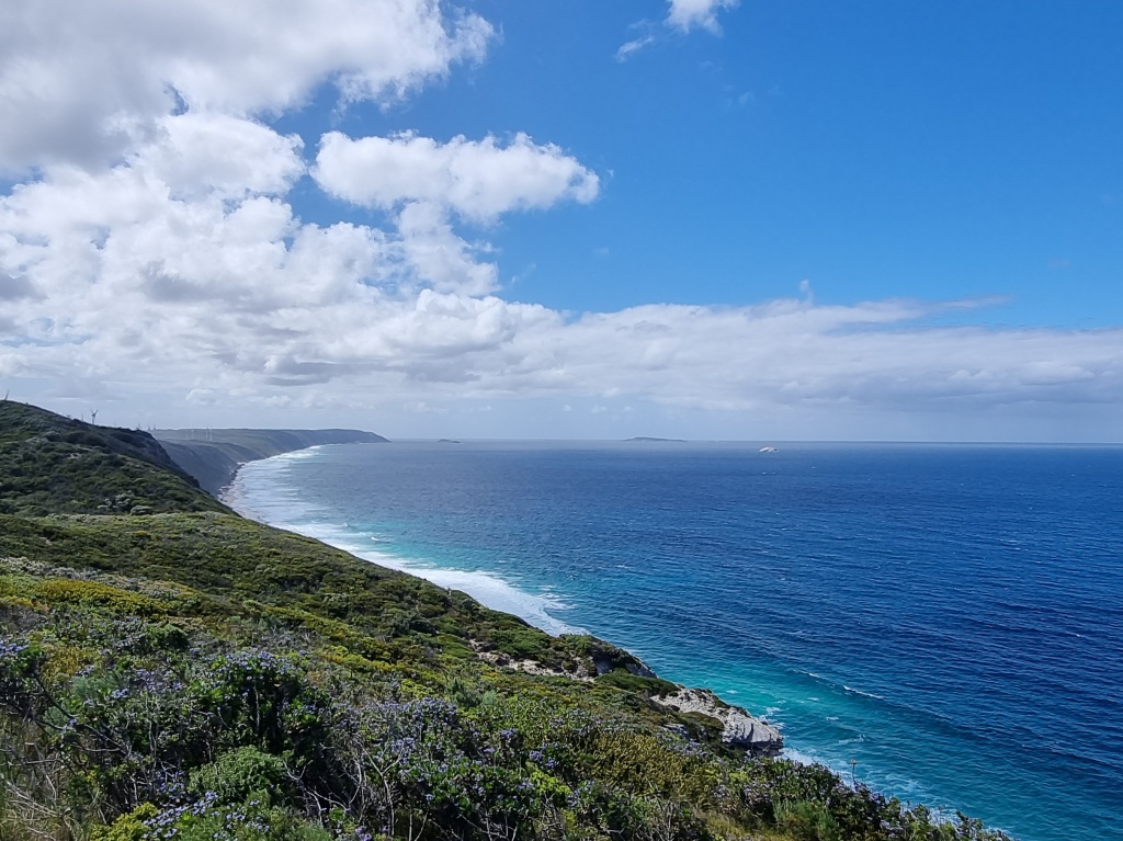
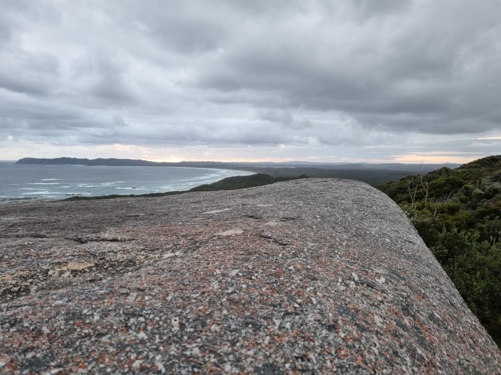
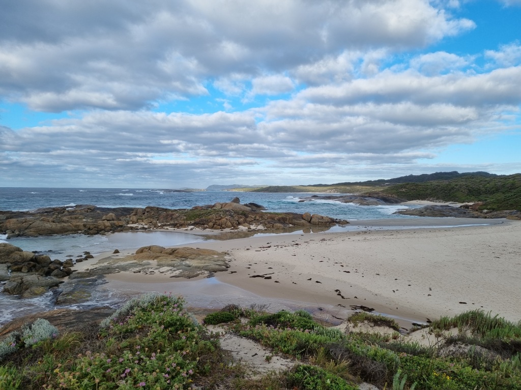
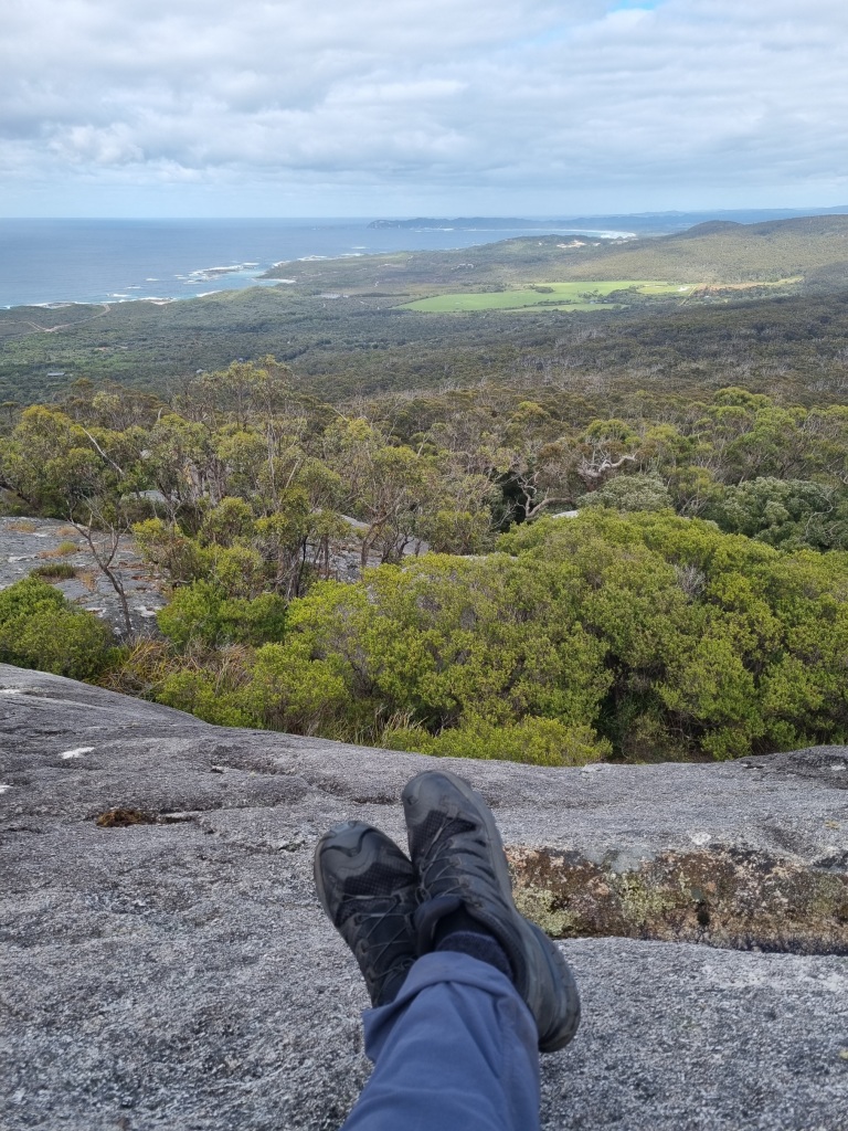
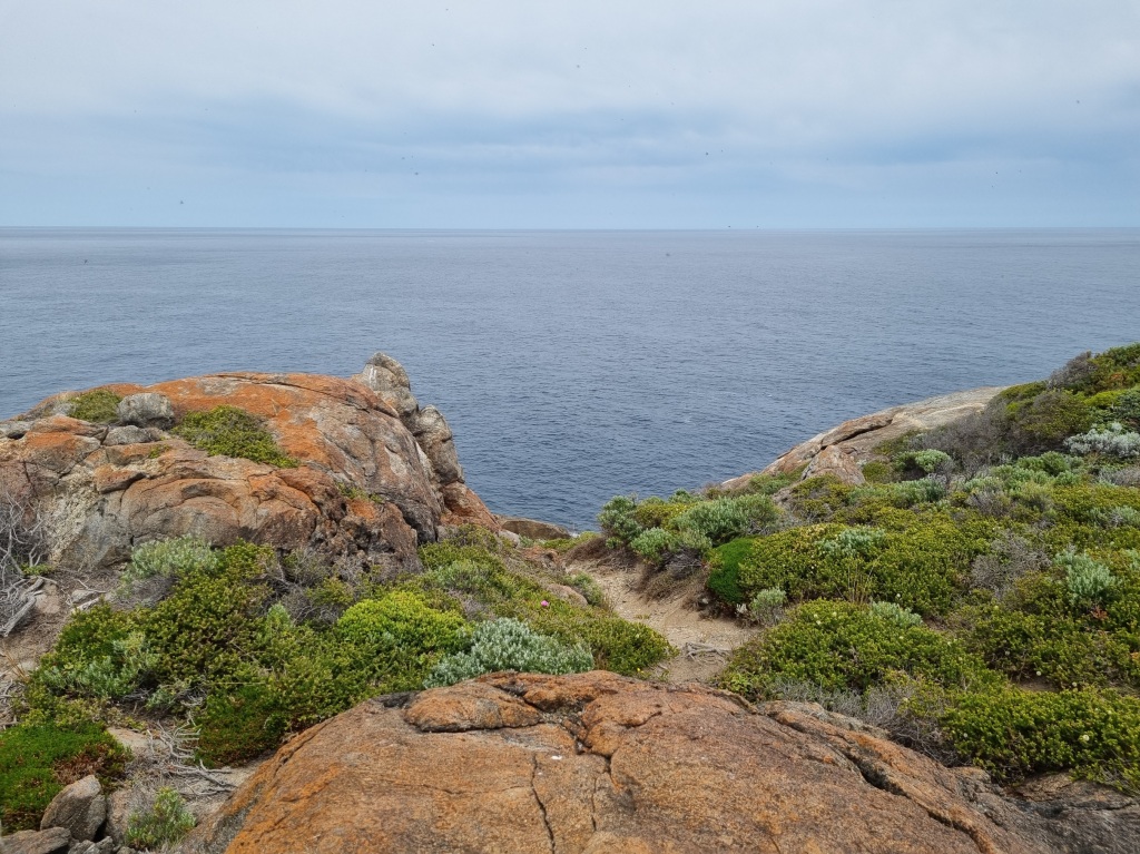
With only a bit over 12km to travel today we took time to admire the views and take the side trips to lookouts along the way.
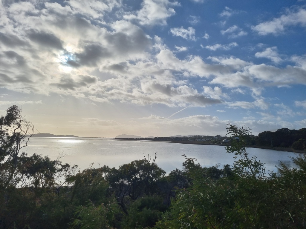
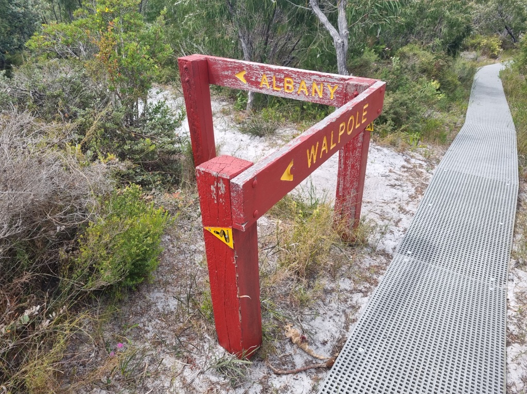
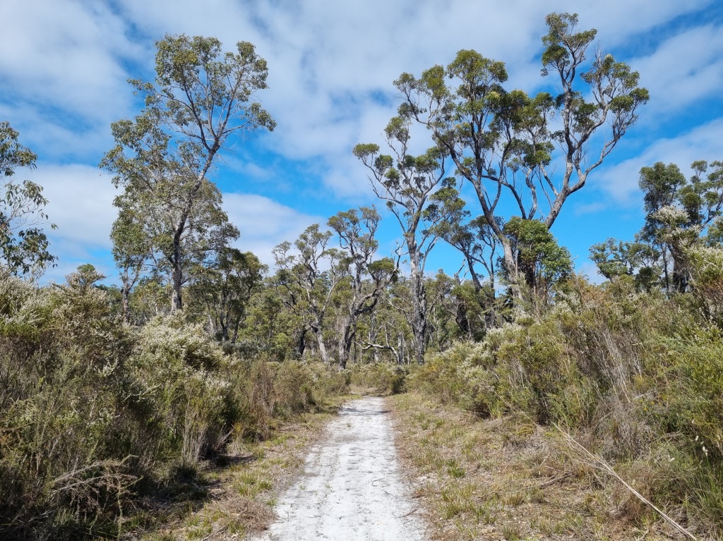
The Bibbulmun Track creators have done a great job of keeping you off the streets as much as possible, taking you through bushland on the edge of suburbia and along waterfront walking tracks.
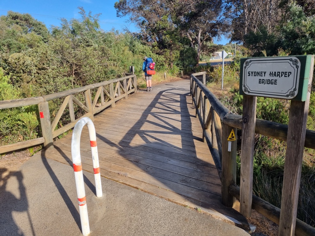
There’s only a little bit of street walking near the end.
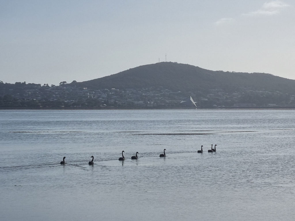
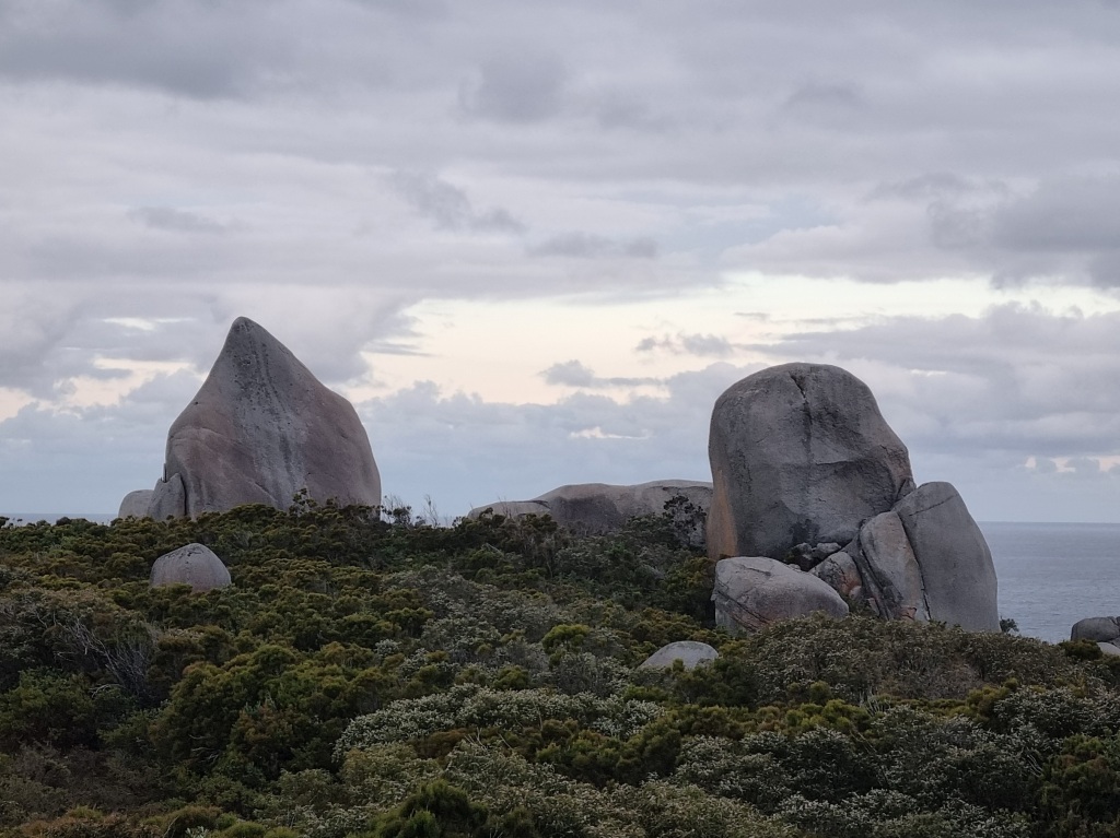
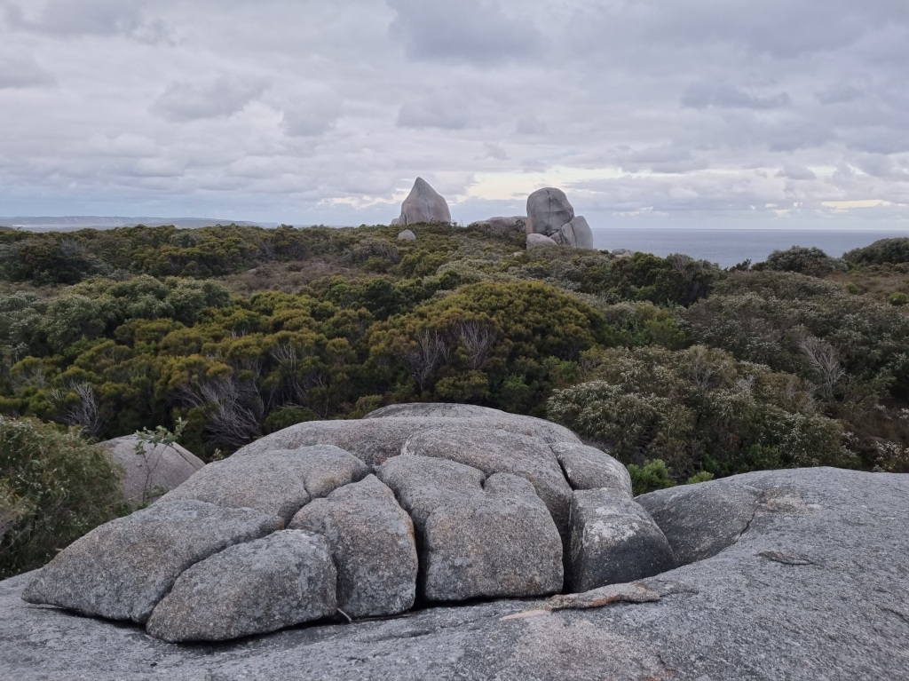
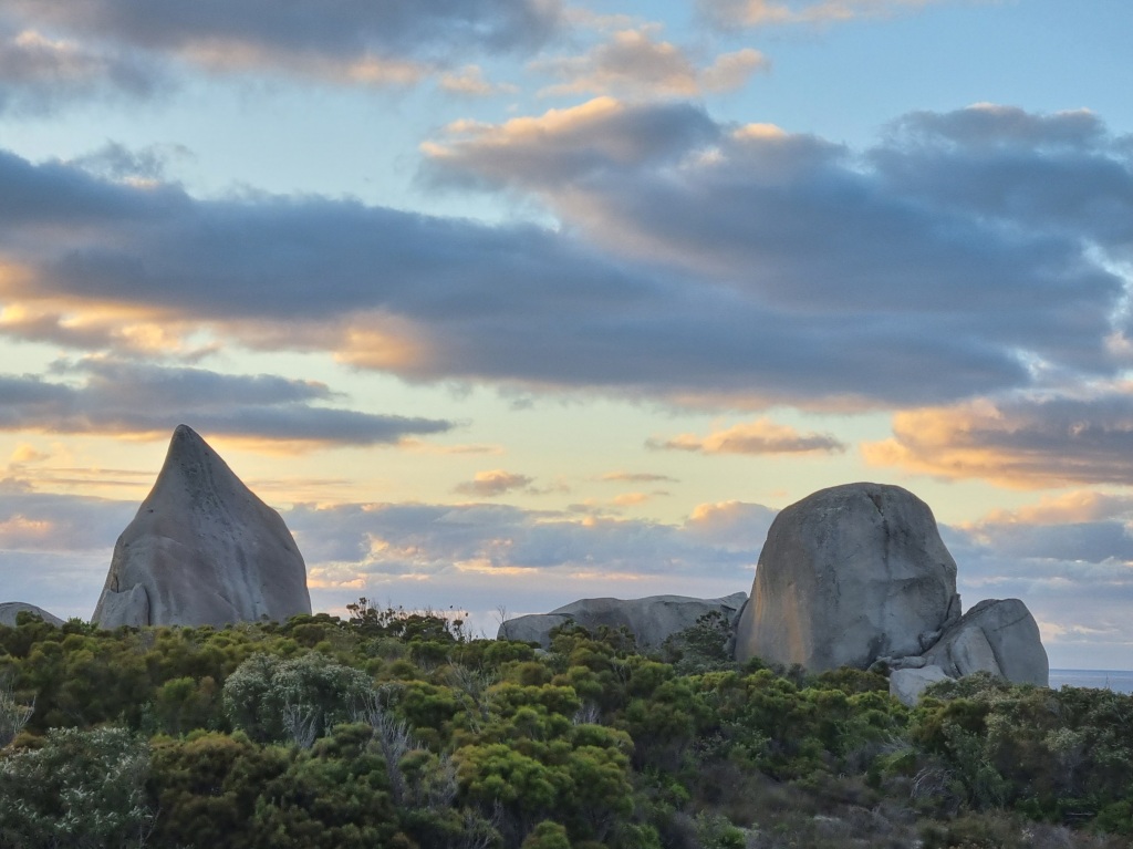
And then all those Waugals eventually lead you here.
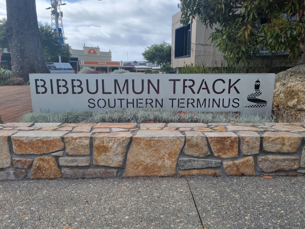
We did it. 47 walking days, 4 rest days, 1,004km, 9 track towns, 8 snakes, 1 snake skin, 1 tick, 1 echidna, 1 quenda, countless emus, kangaroos and wallabies, no whales.

In the Albany Visitor’s Centre we were warmly welcomed and signed our final Track Record book.
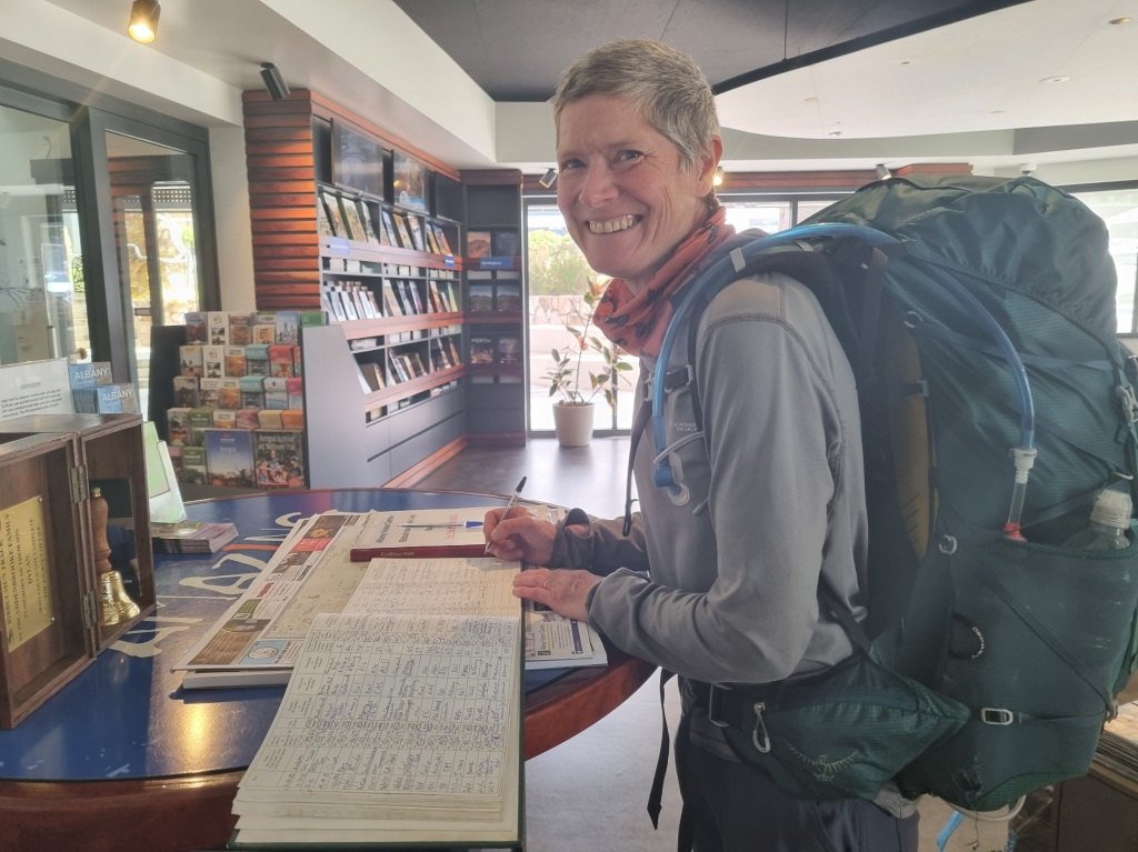
When you sign the book in Albany at the finish of an End-to-End journey, you get to ring a bell donated by the Addenbrooke family in memory of their son Dylan. (You can read about it here.) It’s an emotional moment.
And thus ends the epic Bibbulmum Odyssey of 2023. I wonder what’s next?
Thank you for following along on this massive journey. I’ve actually been back about a month but it’s taken time to catch up with myself and finish these posts. Thanks for your patience.
I acknowledge and give thanks to the traditional owners of the land on which I walked, the Noongar people, and I pay my respects to their Elders past, present and emerging. Thank you for sharing your land with me on this amazing journey.
Day 46: Boat Harbour Campsite to William Bay Campsite
Scheduled distance: 20.4km
Actual distance: 21.66km
Running(hiking) total: 904.16km
Walking time: 5:12hrs
Total time: 5:58hrs
Total ascent: 641m Total descent: 567m
Cumulative Creepy Crawlies Count: Snakes 3.5 Ticks 1 Leeches 0
The Day of Kindness and Hospitality
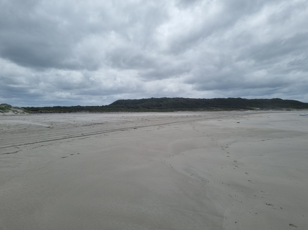
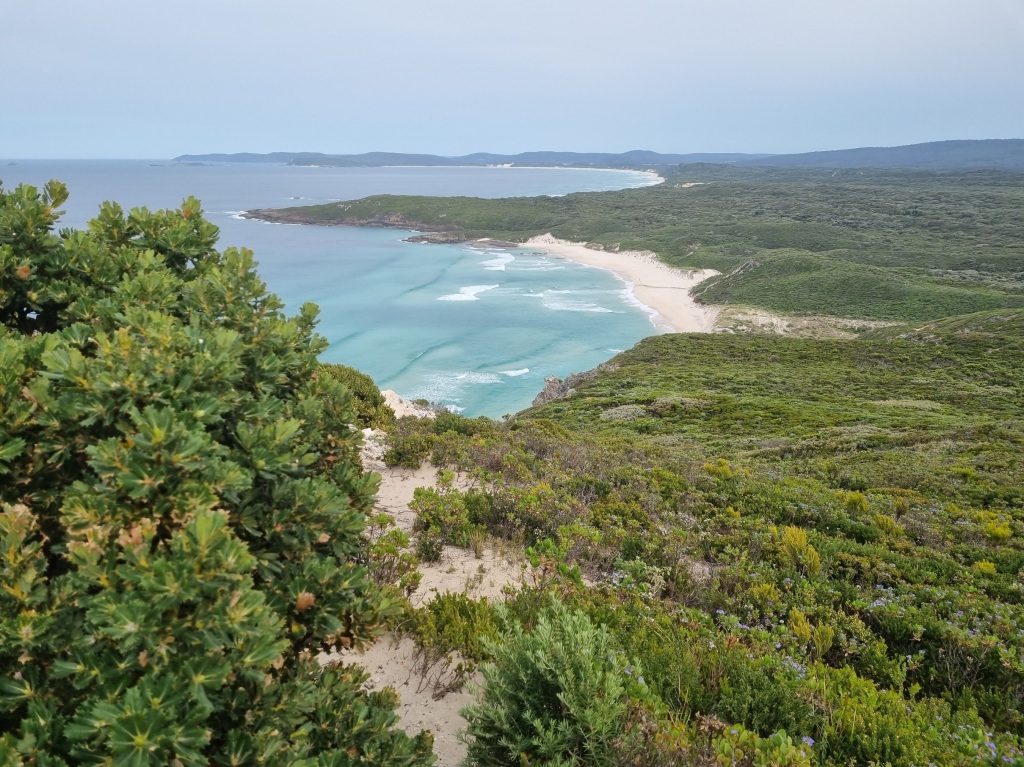
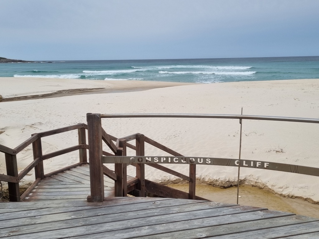
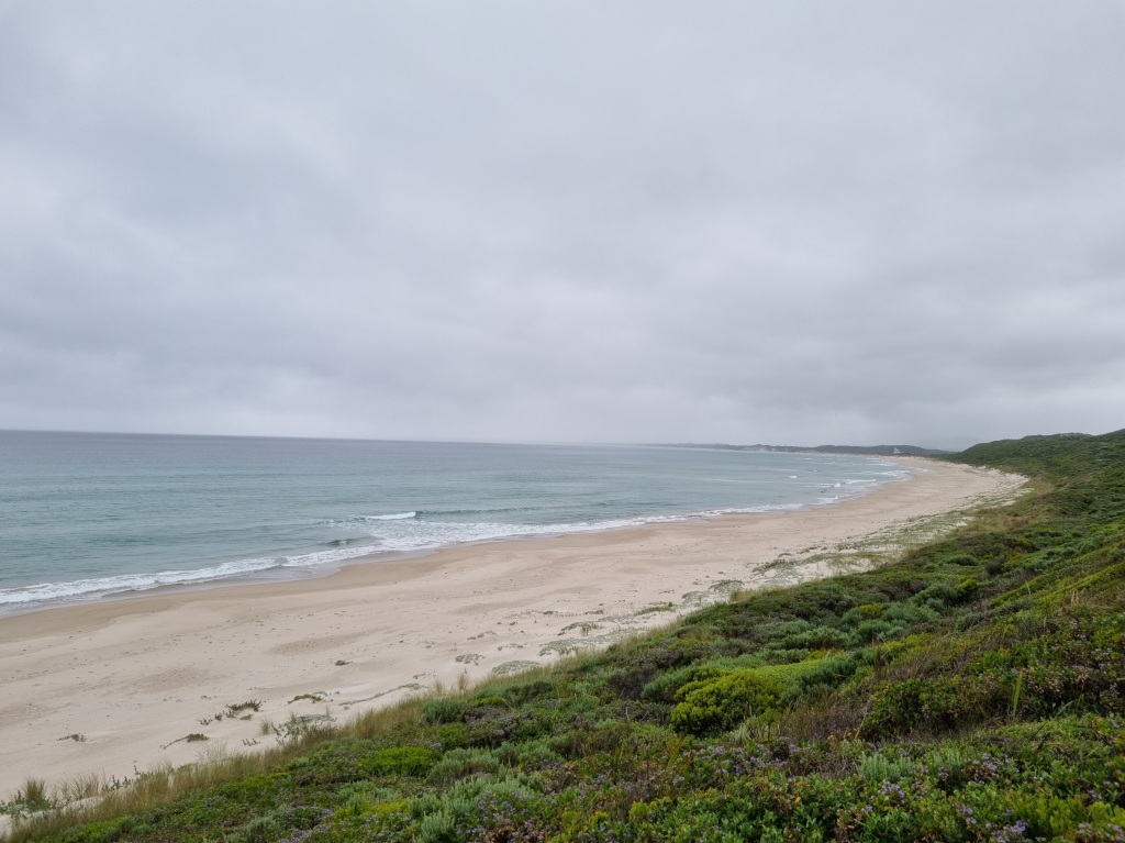
It was a morning of ups and downs along the coast with beaches…

…and fabulous clifftop views.
And then… Oh no. Do we have to climb that?
Turns out, not if you don’t want to. Some of us want to…
As always the view was worth it.
At Parry Beach Campground, we stopped for a break. The caretaker found us and offered us a cup of coffee at the house where we sat at “Jean’s Window” and enjoyed the view.
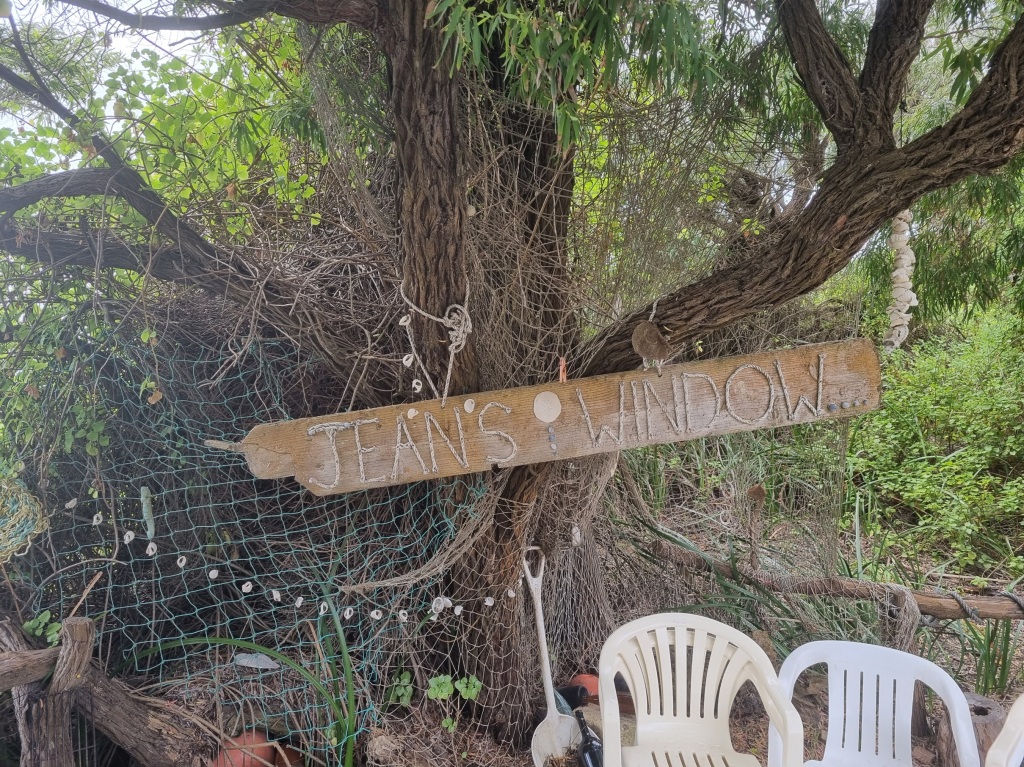
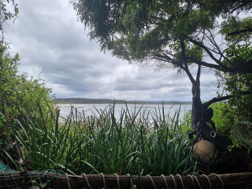
It was instant coffee and I don’t remember the last time I drank instant coffee but I gladly accepted it not just for the caffeine hit but out of gratitude for the kindness offered. Biscuits included.
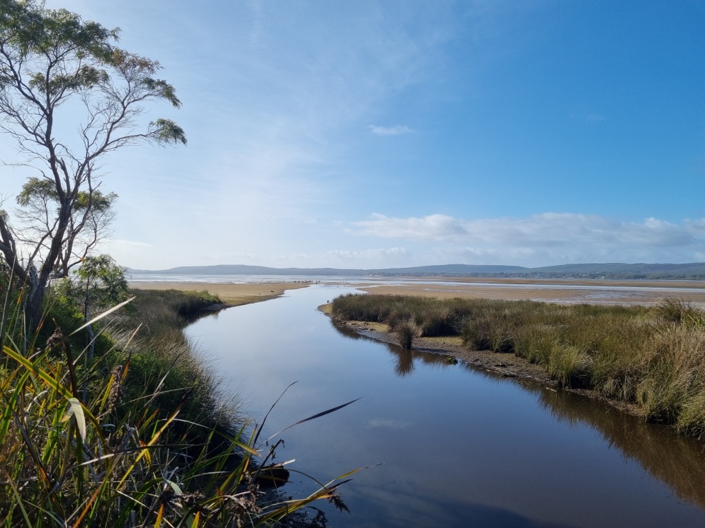
Parry Beach Inlet had completely closed over so there were no wet feet today.
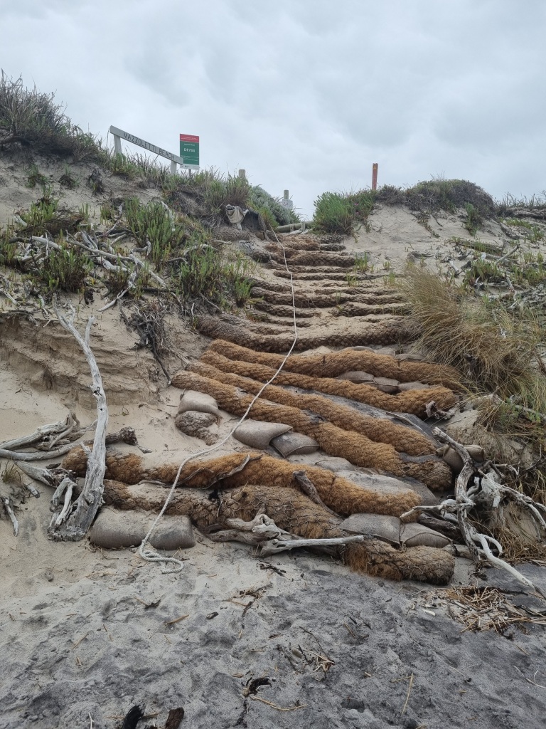
Another interesting climb off the beach but with the assistance of walking poles it wasn’t too bad.
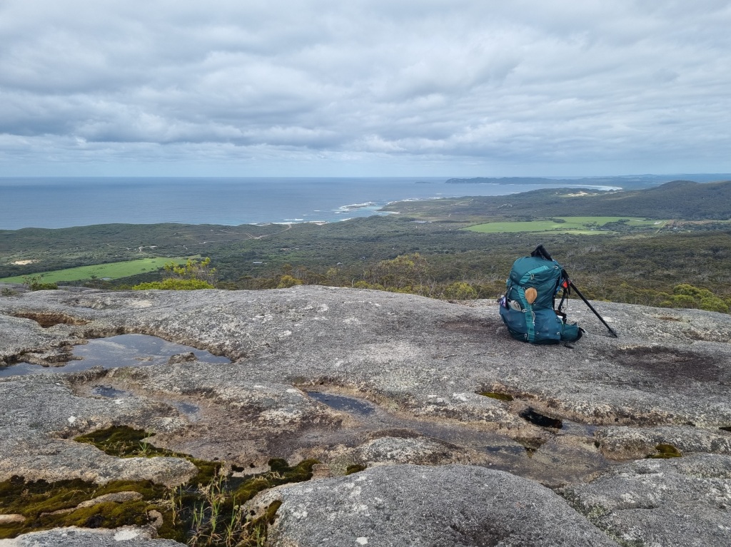
It was a horrible uphill climb to camp but it’s hard to resent it when the views behind it look like this:
Day 47: William Bay Campsite to Denmark
Scheduled distance: 20.0km
Actual distance: 24.0km
Running(hiking) total: 928.17km
Walking time: 5:33hrs
Total time: 5:55hrs
Total ascent: 608m Total descent: 682m
Cumulative Creepy Crawlies Count: Snakes 3.5 Ticks 1 Leeches 0
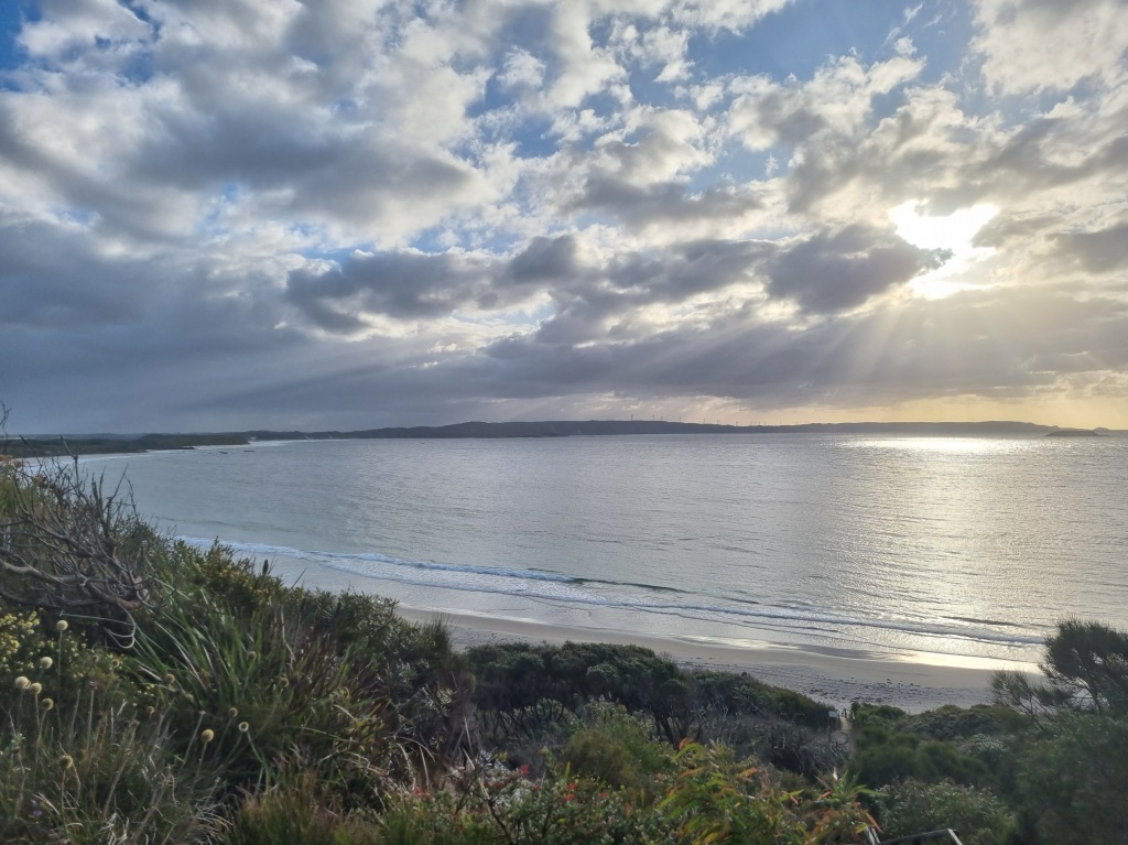
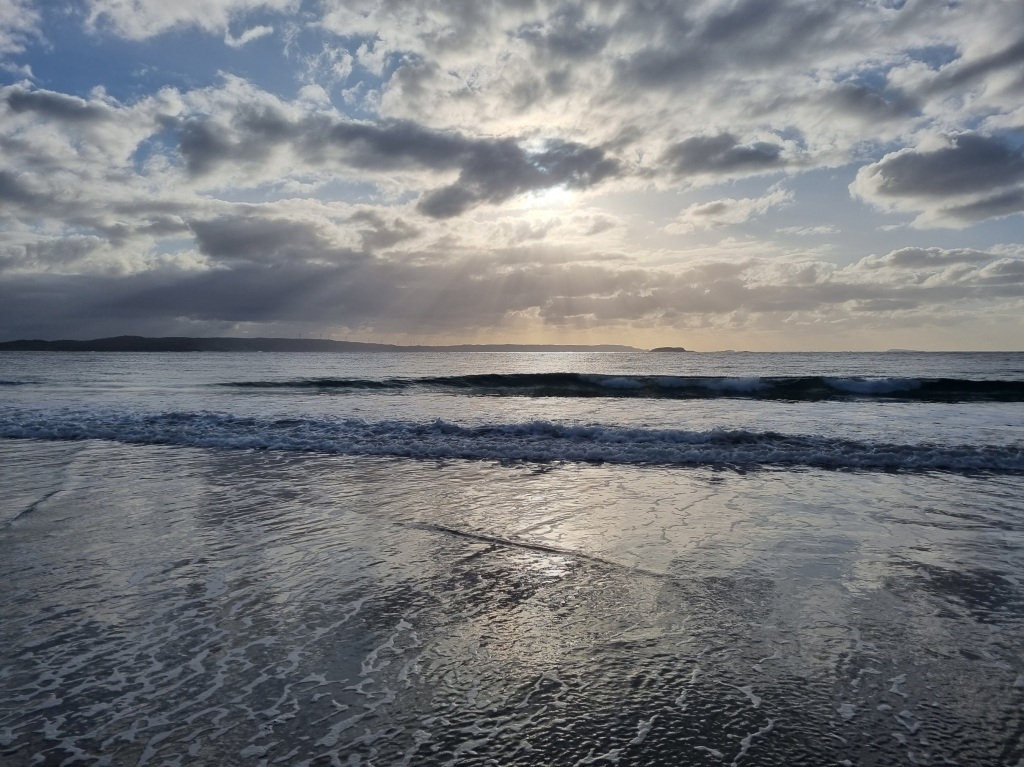
The Day I Walked Into My Last Track Town
Today started like any other with an early start and a push for town.
That is, until it occurred to me that this would be our last track town and tomorrow there would be only three more days on the track. It made me sad and I wanted to take in as much as I could so at Light’s Beach, Mel and I separated and while she pushed on to town, I slowed my pace and revelled in all the track had to offer.
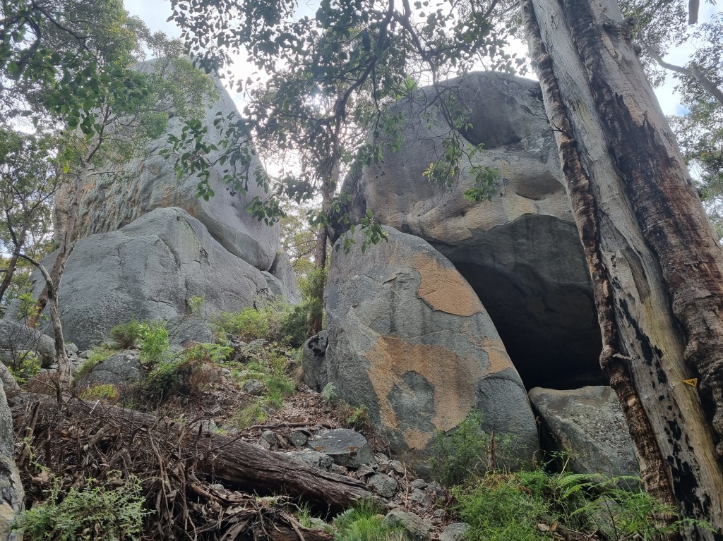
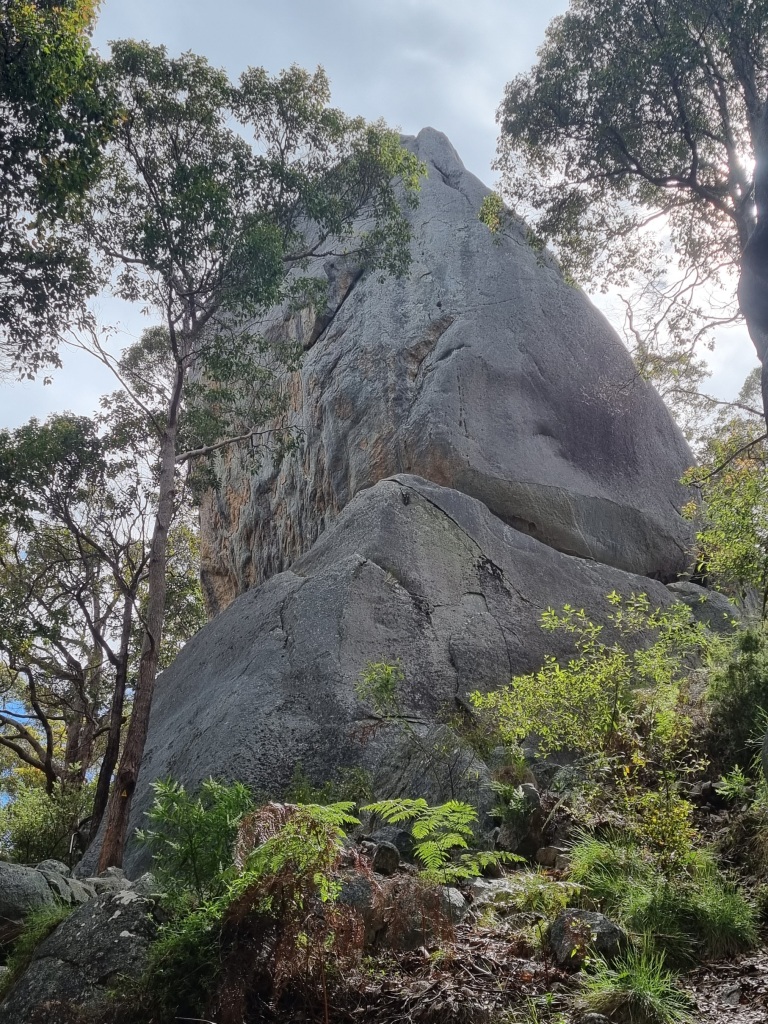
The highlights were climbing atop Monkey Rock (where I had to sneak around to take photos because there was a meditation group up there),…

…having morning tea on top of Mt Hallowell…
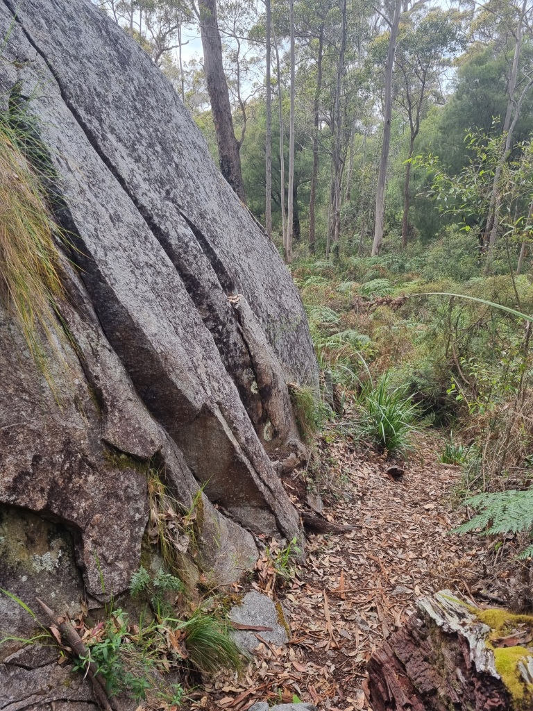
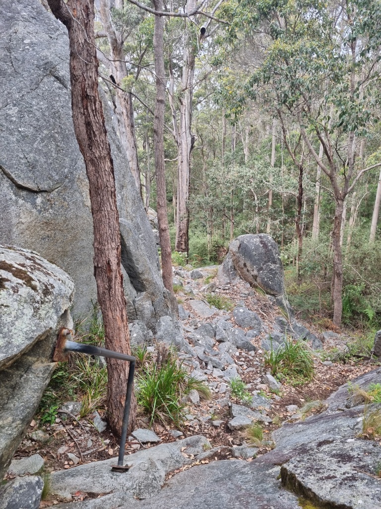
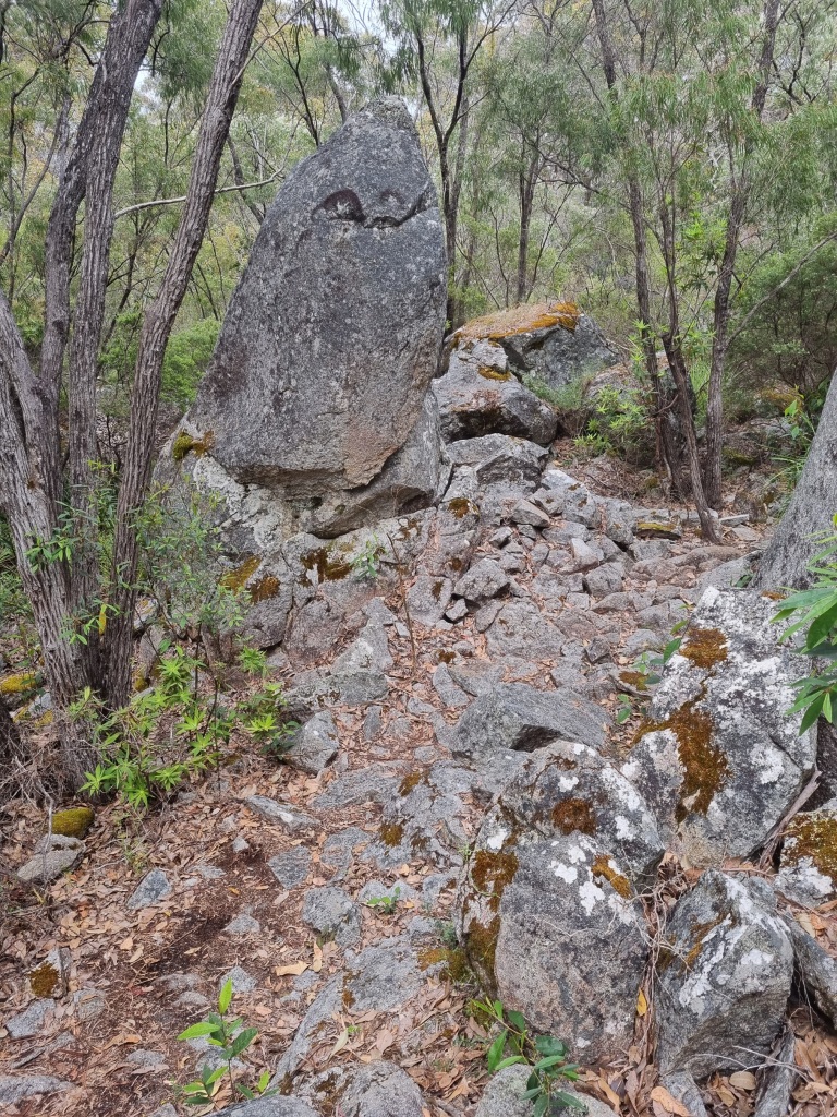
…and the long wander down through granite forest.

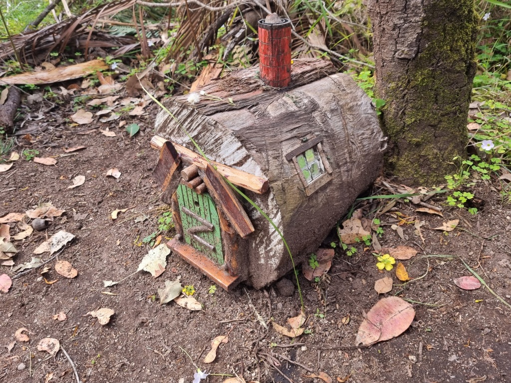
Even the walk into Denmark had things to enjoy along the way such as a series of fairy houses.
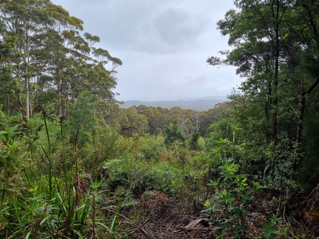
Tonight we spend our last night in town and tomorrow we will be driven around Wilson Inlet (too dangerous to cross and too far to walk around) and then we embark on the last few nights on the track before we walk into Albany. While a bed, shower and clean clothes are appreciated, it’s hard to wrap my head around being almost at the end. Luckily there are still wonders to enjoy on our final leg of this epic journey.
Day 48: Denmark to West Cape Howe Campsite
Scheduled distance: 21.0km
Actual distance: 19.53km
Running(hiking) total: 947.7km
Walking time: 4:35hrs
Total time: 4:59hrs
Total ascent: 571m Total descent: 405m
Cumulative Creepy Crawlies Count: Snakes 5.5 Ticks 1 Leeches 0
The Day I Broke
You know I don’t write this as a dispassionate travel review. I won’t spare you from the downsides. Today I broke. Who knows why.
The day started normally enough. We enjoyed a spirited political discussion on the drive around the inlet with Mark from the Blue Wren Hostel.
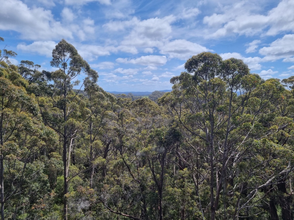
There were great views…
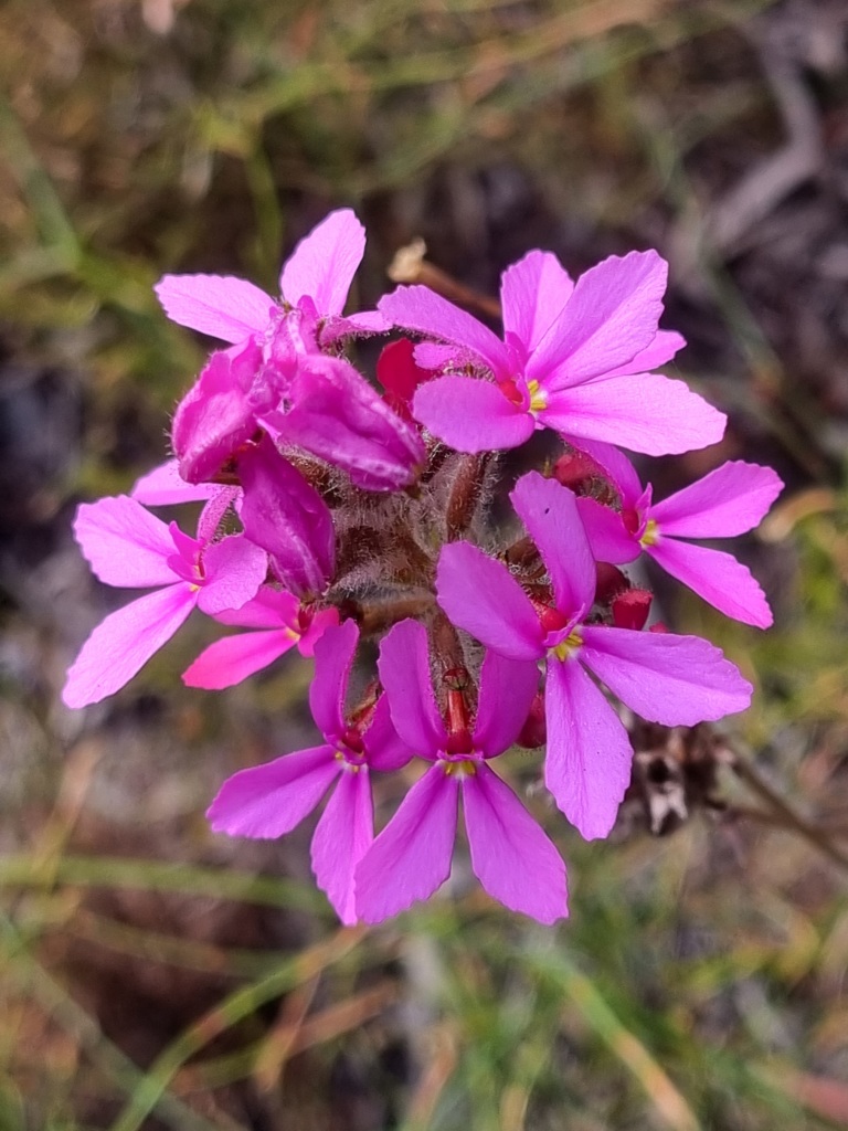
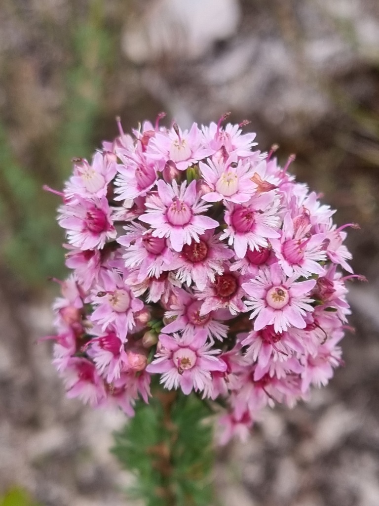
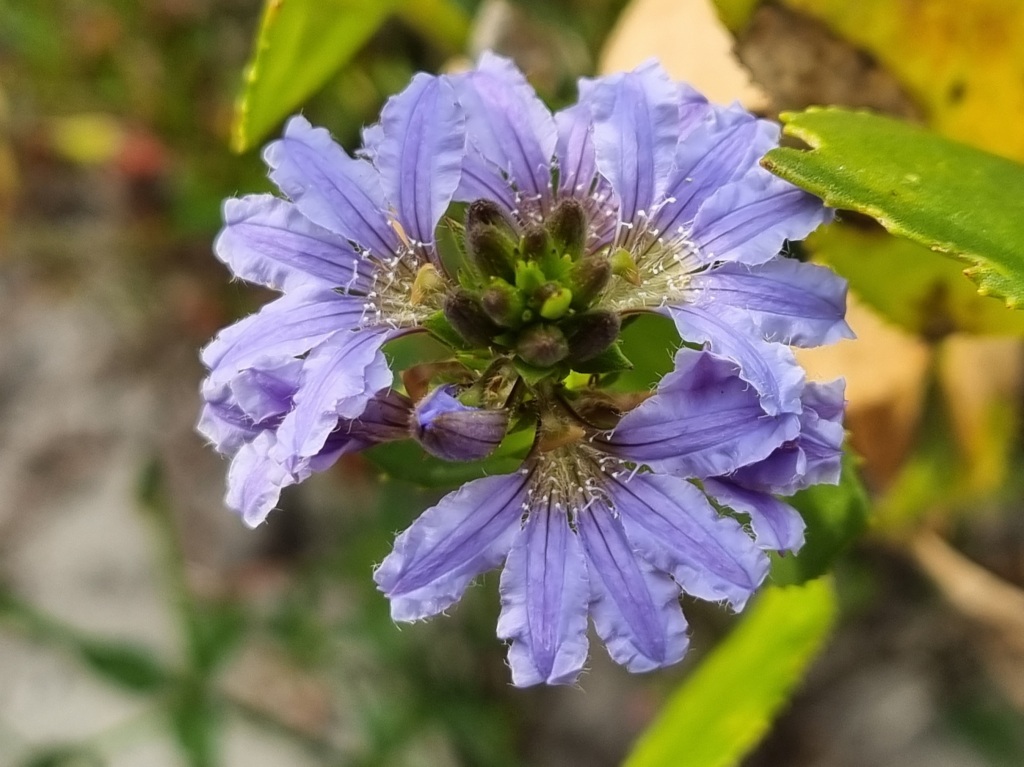
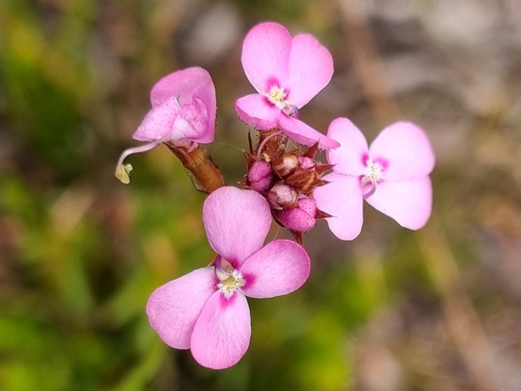
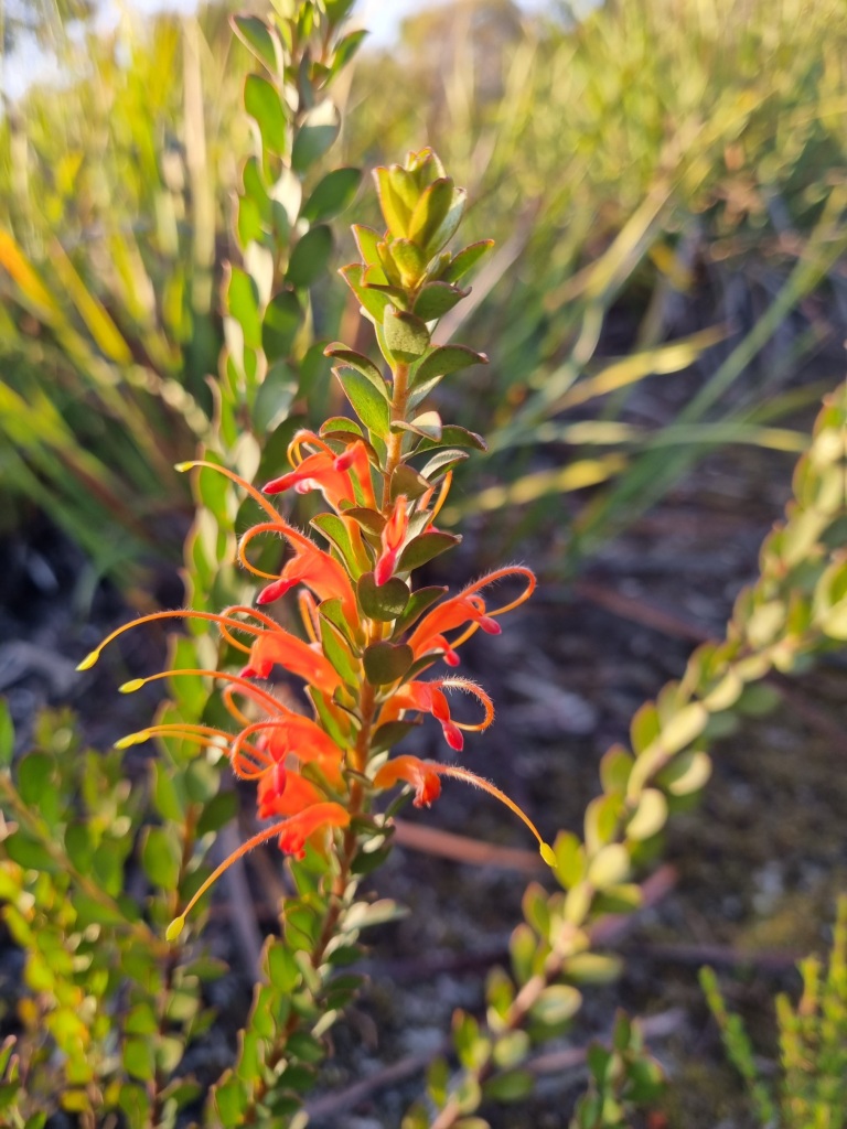
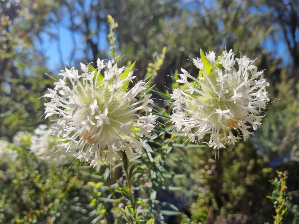
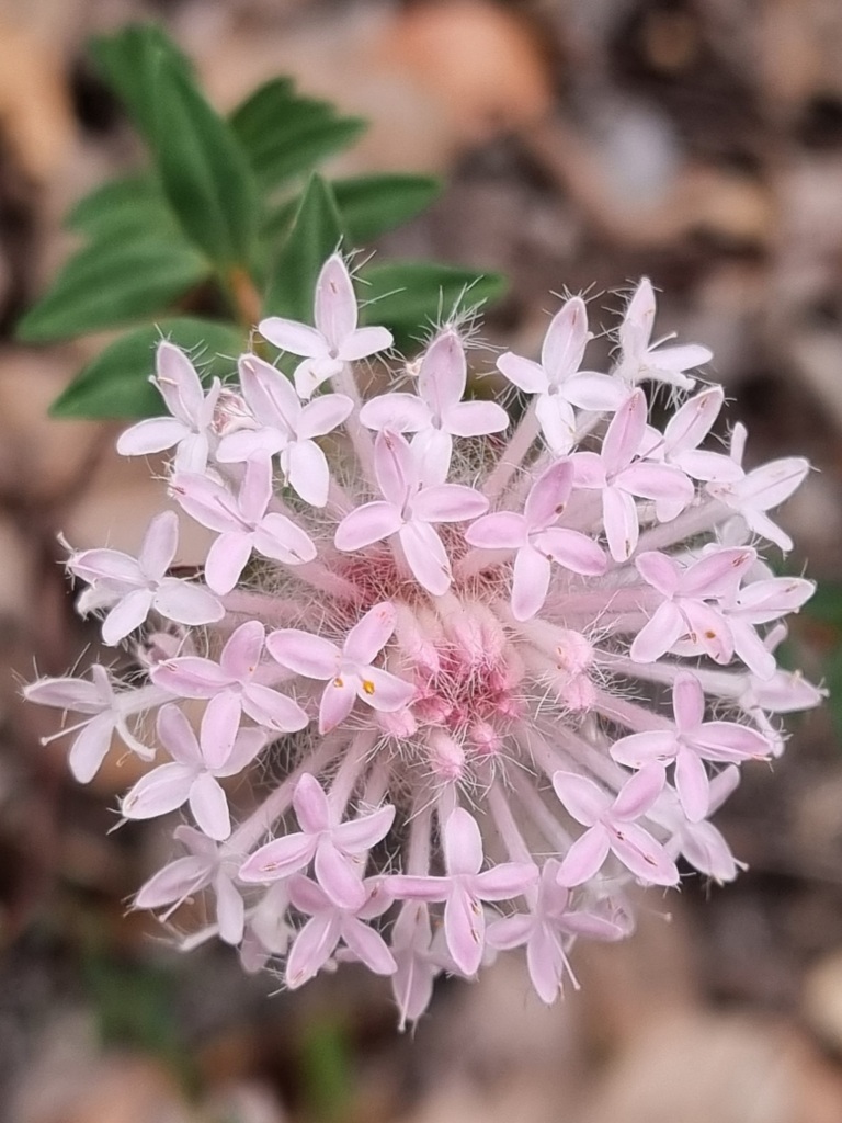
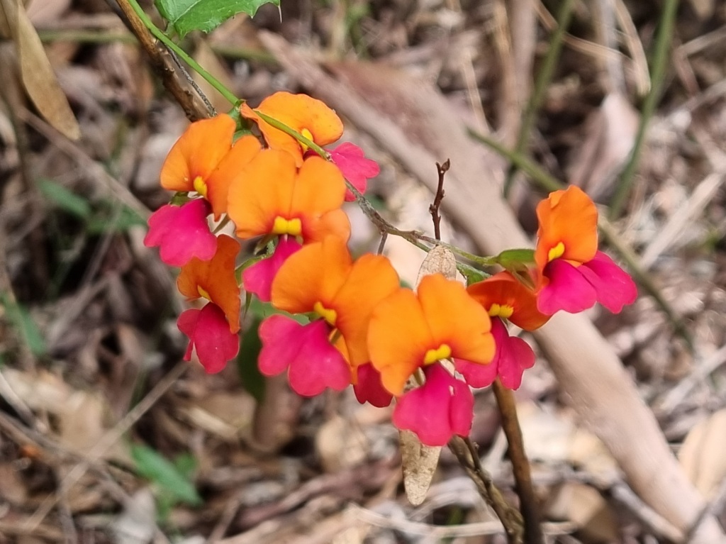
…flowers…
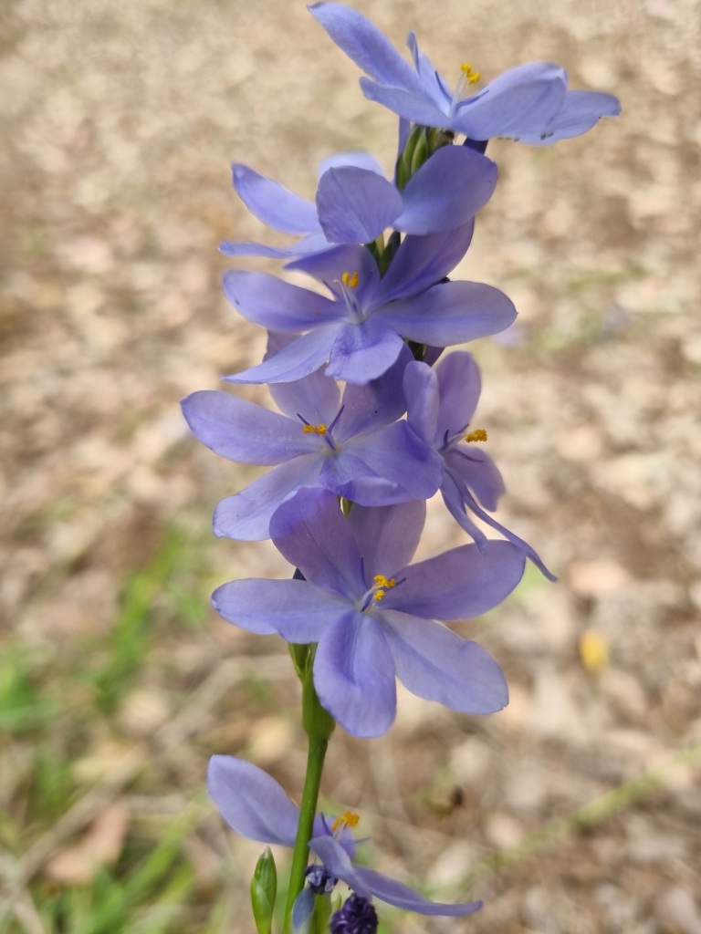
…wildlife…
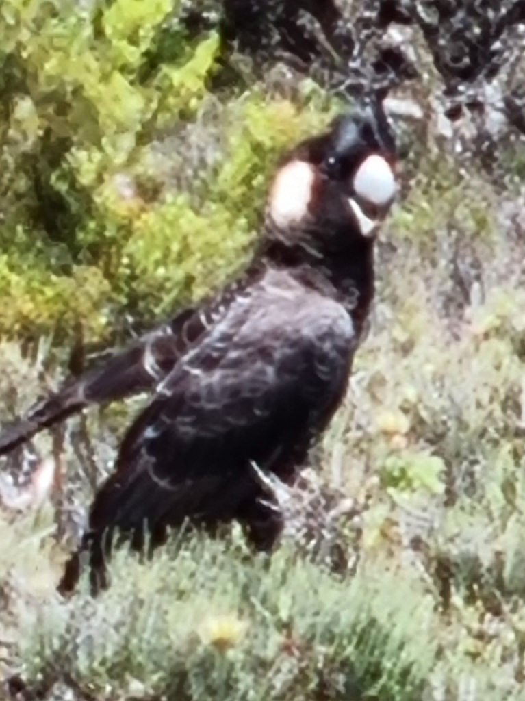
…including two snakes, one of which – and I know you’ve been waiting for this – I managed to photograph.
But somewhere around the 14km mark, I started to slide. By the time I got to camp, I’d reached the end of my resources and I was deep in the hole. There were a couple of day hikers there and I seriously contemplated going with them and calling it quits. Days from the end. It wasn’t good.
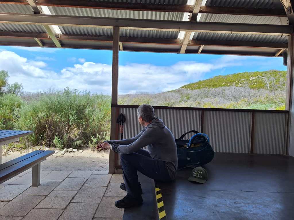
Some time to myself at the lookout behind the camp allowed me to pull myself together enough to want to finish this journey. We’ll see what tomorrow brings.
I acknowledge the traditional owners of the land on which I walk, the Noongar people, and pay my respects to their Elders past, present and emerging.
Day 43: Frankland River Campsite to Giants Campsite
Scheduled distance: 15km
Actual distance: 16.16km
Running(hiking) total: 829.04km
Walking time: 3:12hrs
Total time: 4:47hrs
Total ascent: 545m Total descent: 445m
Cumulative Creepy Crawlies Count: Snakes 3 Ticks 1 Leeches 0
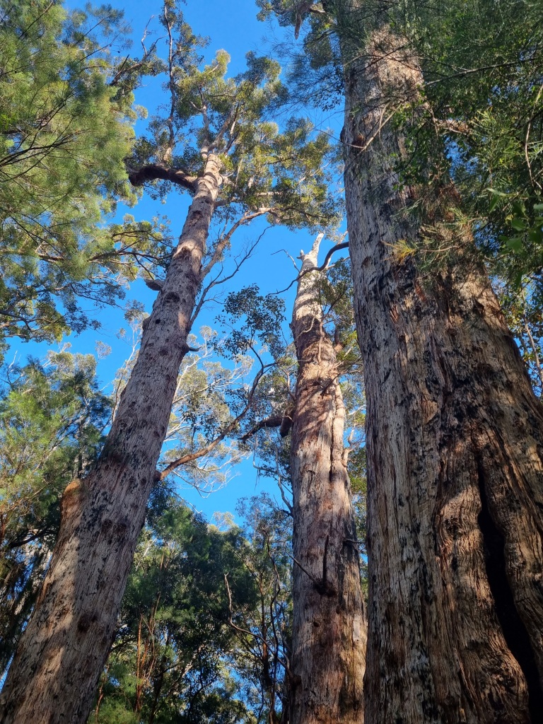
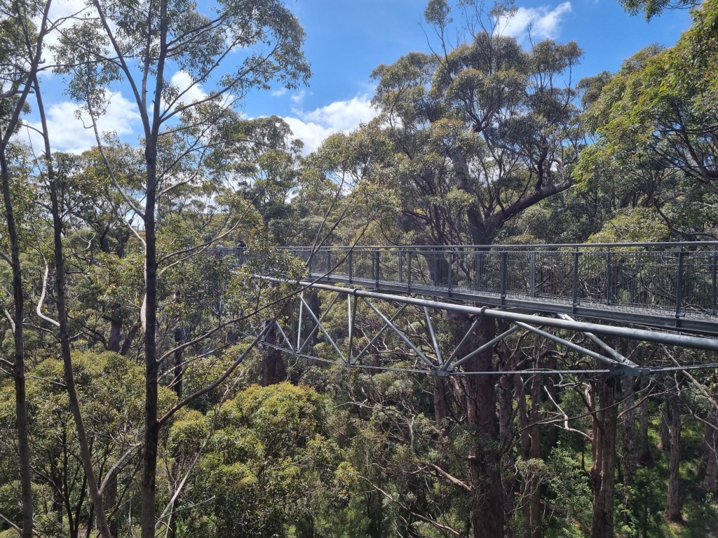
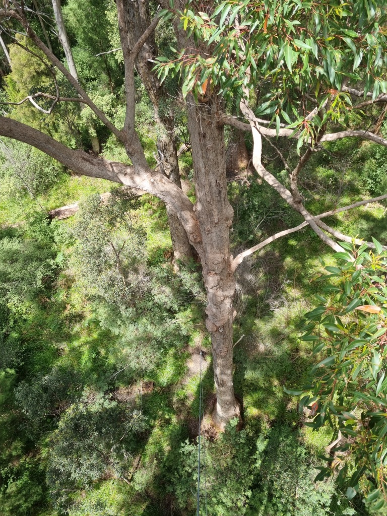
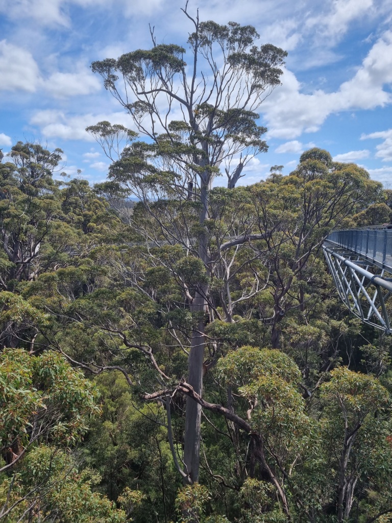
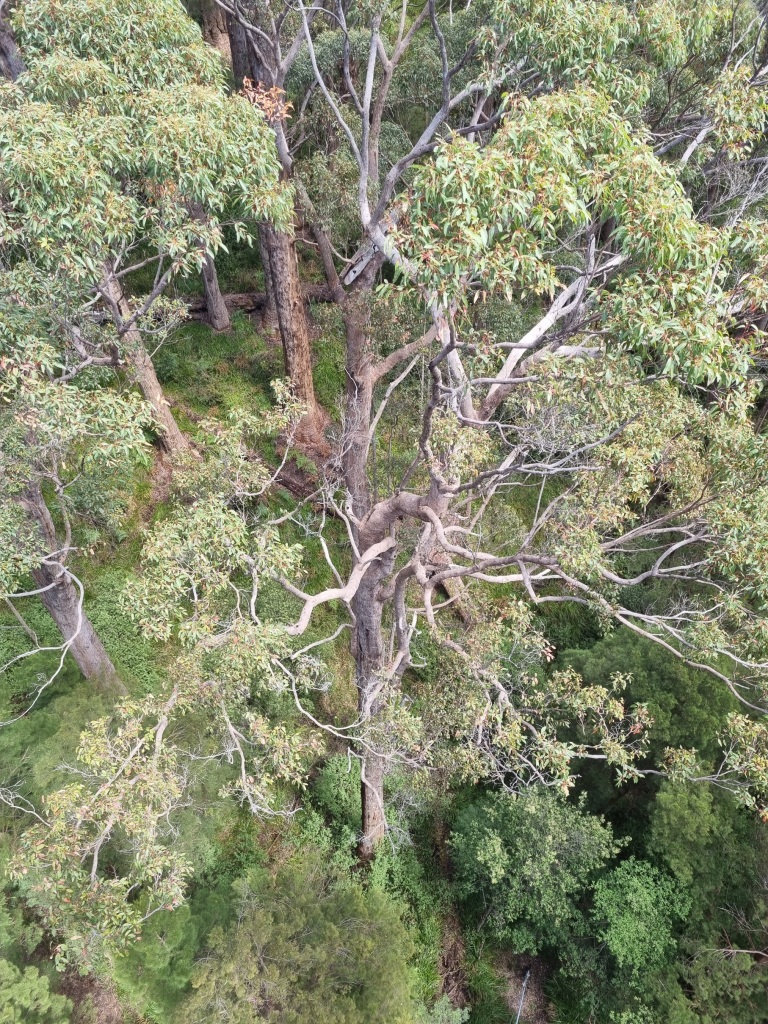
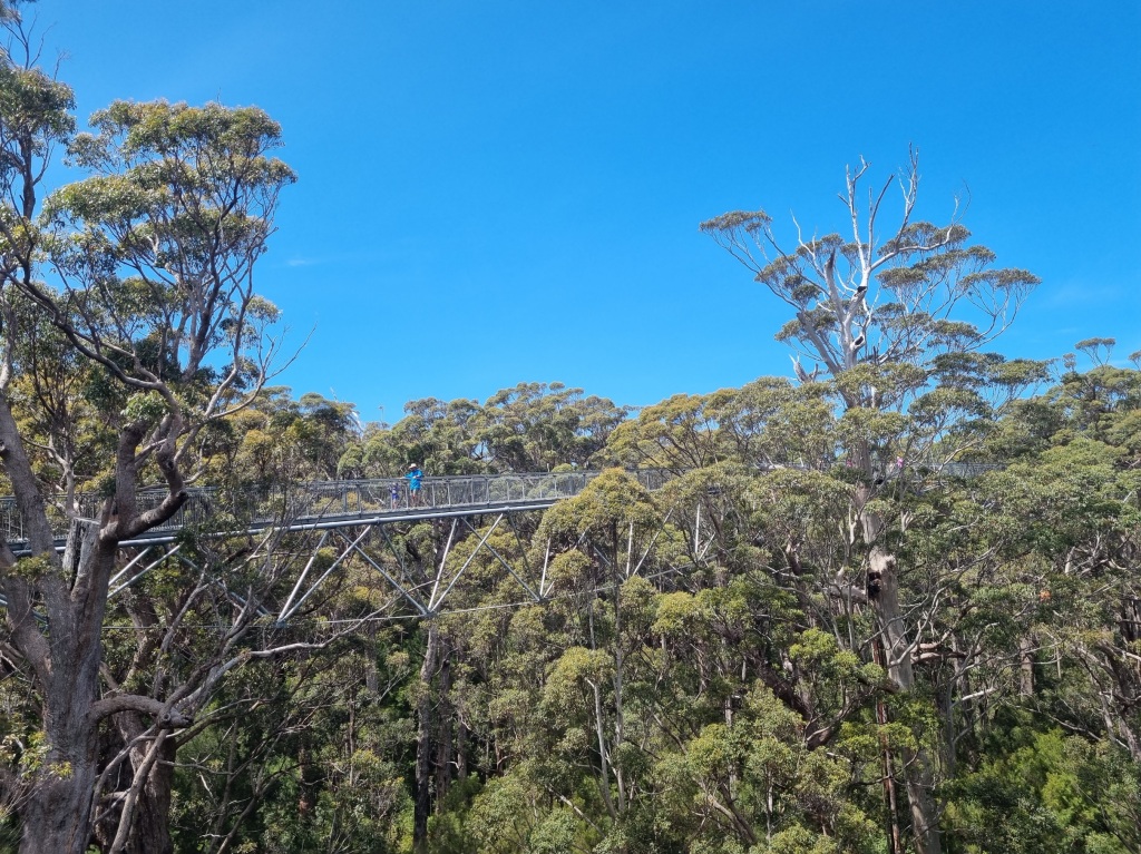
The Day I Climbed Above The Trees
What was there not to like about today? A positively truncated distance of a mere 15km, a fun tree top walk and an essential coffee van. There’s nothing much else to say.
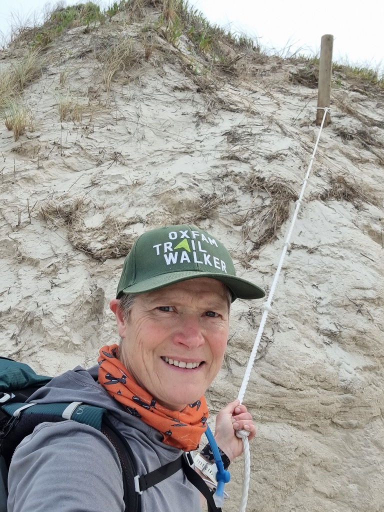
Day 44: Giants Campsite to Peaceful Bay
Scheduled distance: 29.2km
Actual distance: 30.05km
Running(hiking) total: 859.09km
Walking time: 6:55hrs
Total time: 8:12hrs
Total ascent: 803m Total descent: 940m
Cumulative Creepy Crawlies Count: Snakes 3 Ticks 1 Leeches 0
The Day That Wasn’t As Bad As We Thought It Would Be
The only problem with a short cruisy day is that it is almost always followed by a long hard one.
Fortunately, it was not nearly as hard as we’d been led to believe. “Sandy track” doesn’t have to mean ankle deep sand. It could be very hard sand which it predominantly was today. Thankfully.
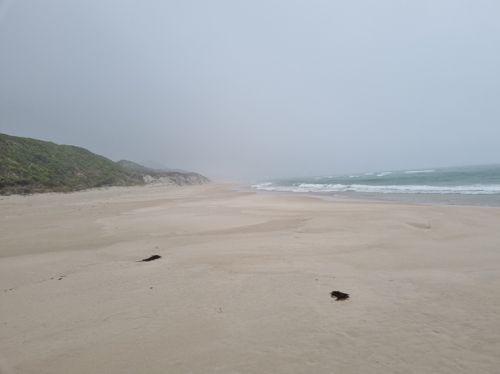
Although, beach walking is definitely sand walking.
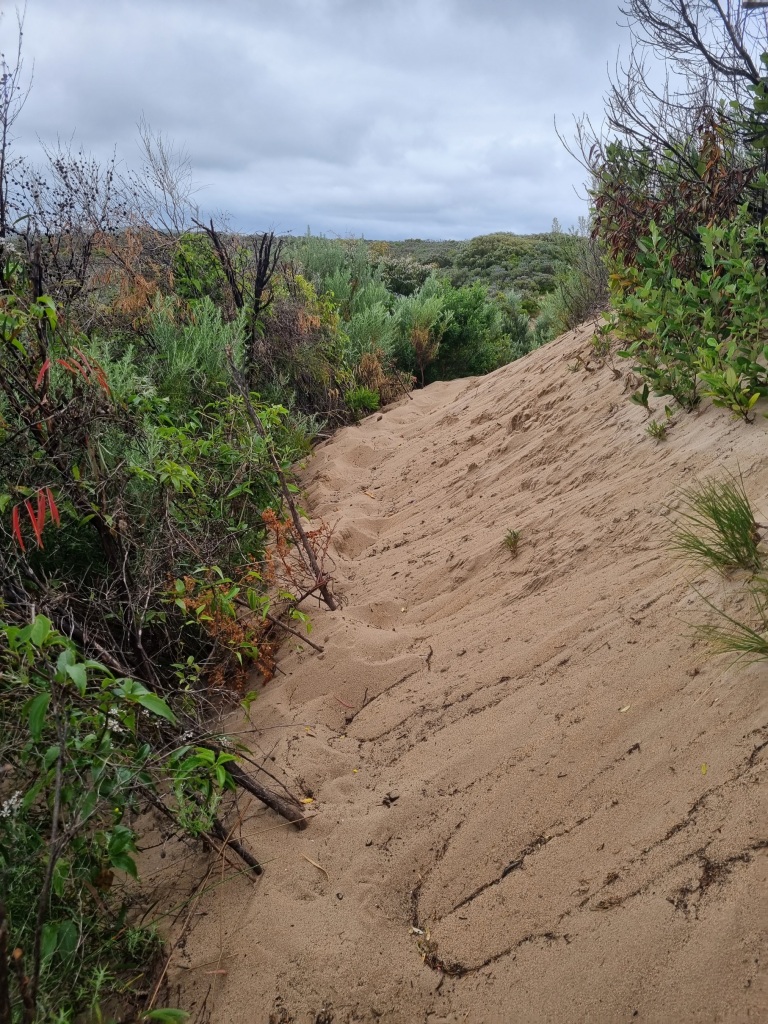
We’d also been warned of the terrible climb up the dunes off the beach, so steep you have to pull yourself up with a rope.
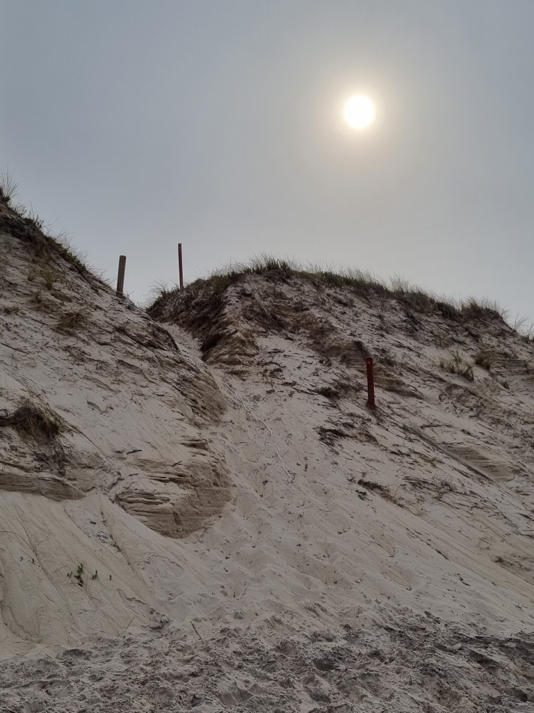
It wasn’t so bad. Mostly fun actually.
And there may have been some steady long climbs but the views were worth it.
We enjoyed a good break at Rame Head Campsite before continuing on to Peaceful Bay, punctuated with a call home while I sat on a rock at the top of a cliff. As you do.
We’ve been sleeping in the shelters so it’s been quite the novelty to set up the tent in the caravan park.
It’s practically compulsory to have the fish and chips at Peaceful Bay. You can’t be sure what fish will be on offer. It depends on what they catch that day. Fresh off the boat.
Day 45: Peaceful Bay to Boat Harbour Campsite
Scheduled distance: 23km
Actual distance: 23.42km
Running(hiking) total: 882.51km
Walking time: 5:23hrs
Total time: 6:24hrs
Total ascent: 712m Total descent: 672m
Cumulative Creepy Crawlies Count: Snakes 3.5 Ticks 1 Leeches 0
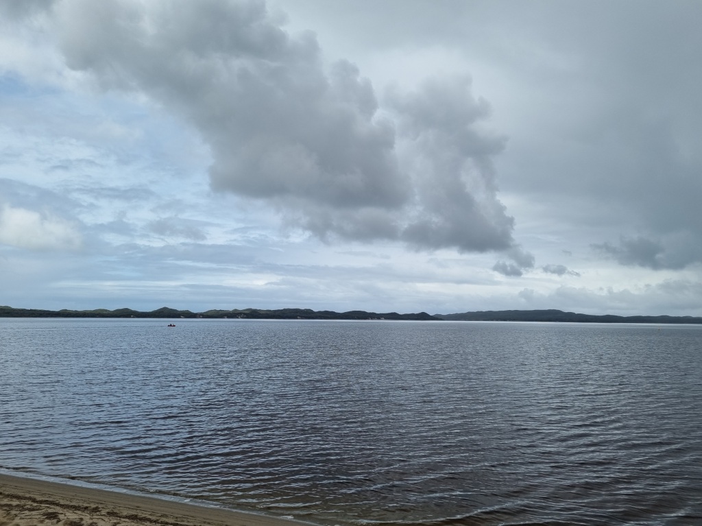
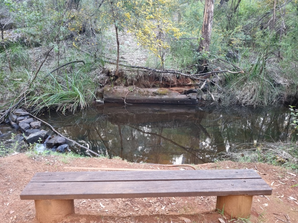
The Day Known As Canoe Day
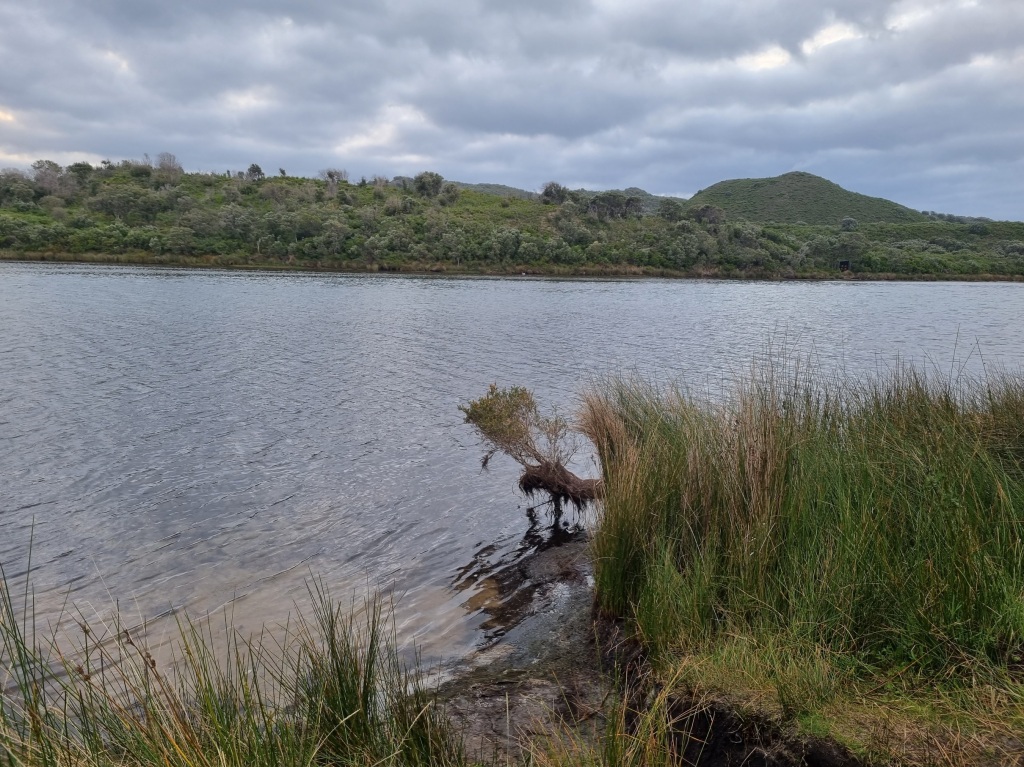
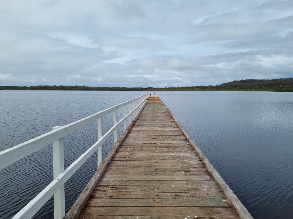
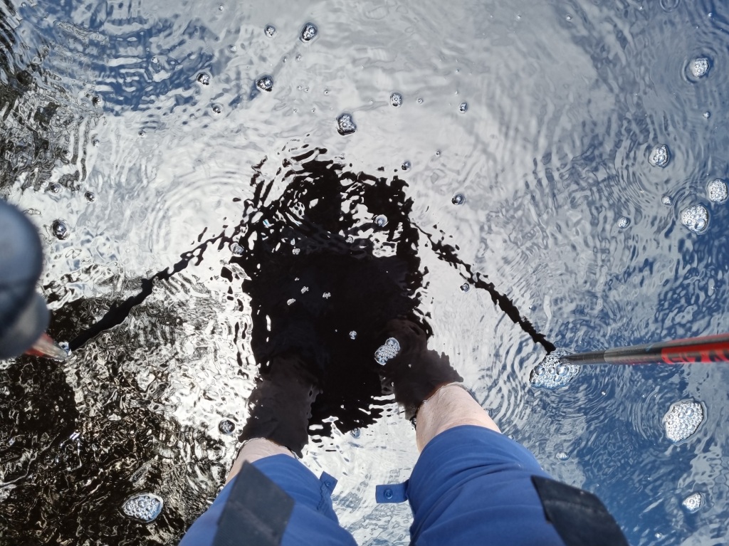
Today was the day. The iconic day on the Bibbulmun Track. Crossing Irwin Inlet by canoe.
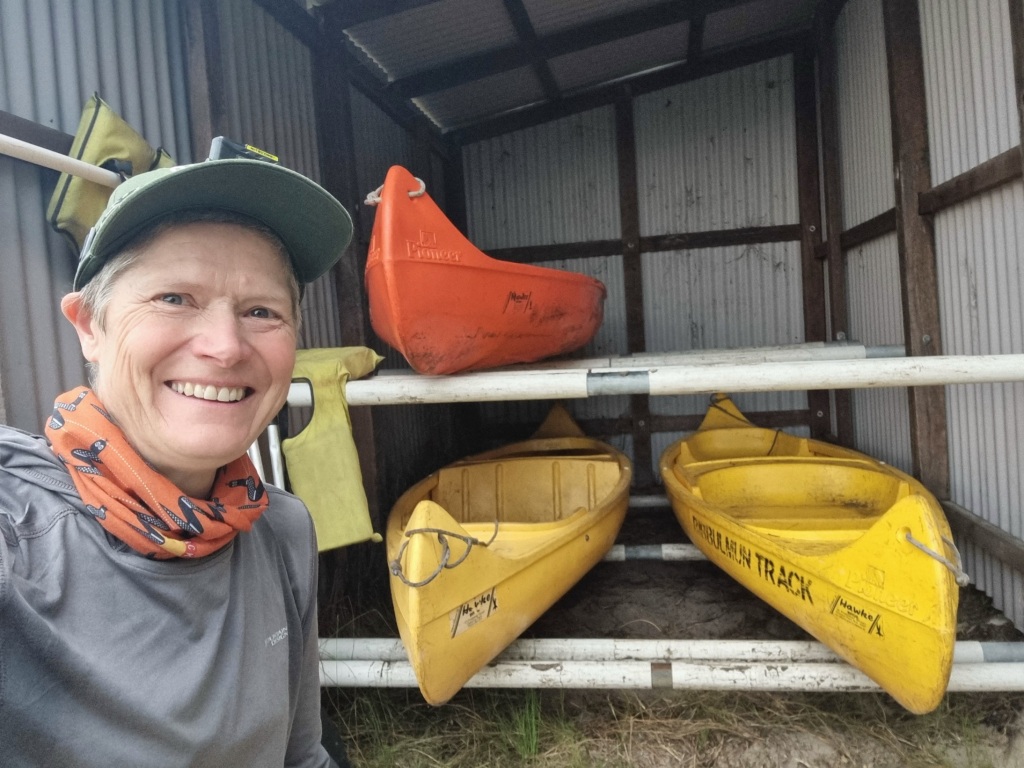

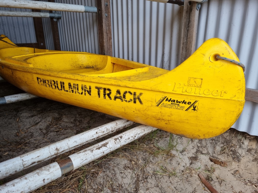
We were blessed with no wind and calm waters and the crossing was easy peasy.
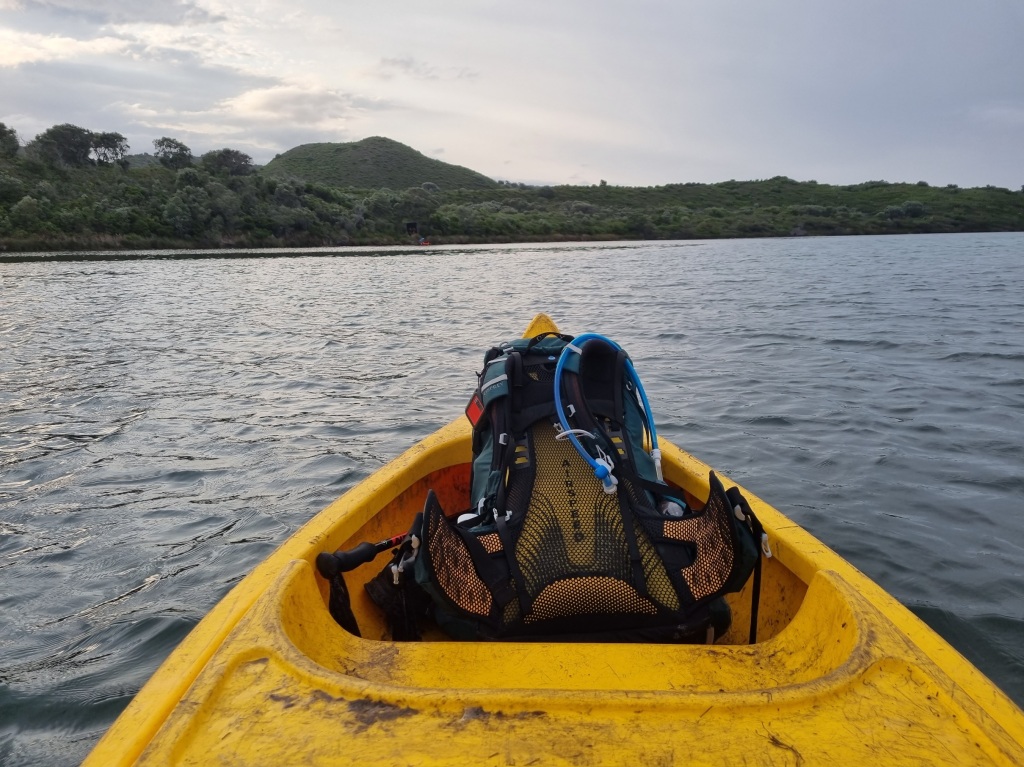
The thing about crossing one way is that you then have to make sure there are enough canoes on each side for the next walkers. So I volunteered to tow two canoes back to the other side and return. I can tell you that the canoe leg going south is much easier than going north as the southern canoe shed is downstream.
Well, and I guess towing two extra canoes behind you is probably going to slow you down for a bit.
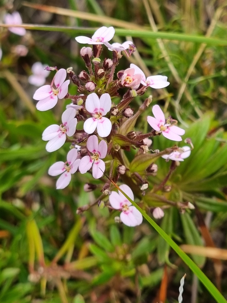
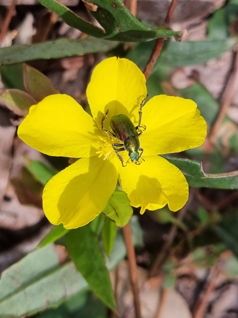
Having ticked off this particular track requirement (you cannot register as an End-to-Ender unless you have completed the canoe crossing), it was on to see what the rest of the day had in store. Beaches, rocks, sand, stairs, hills, epic views, kangaroos and more new flowers…
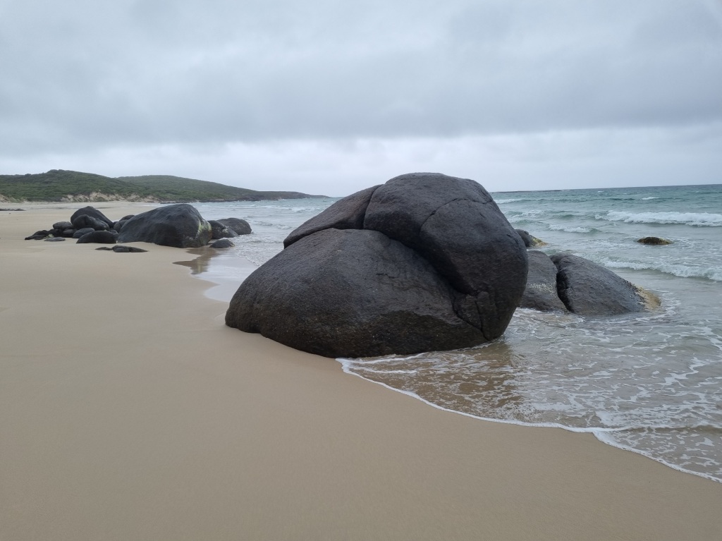

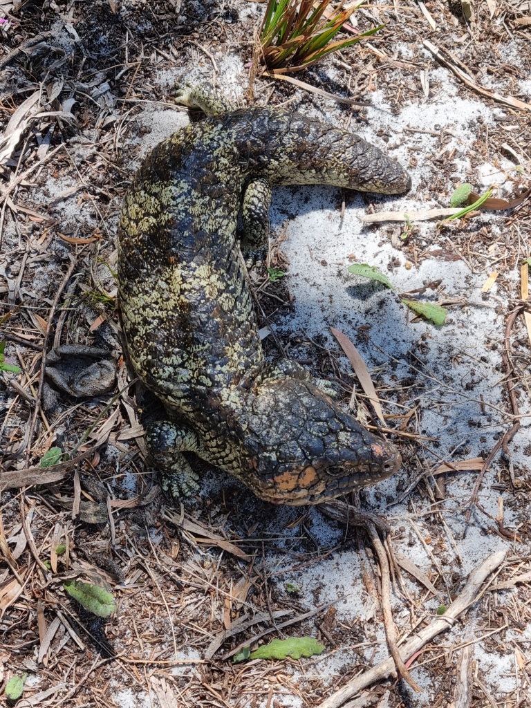
No snakes today but I did find this:
Campsite ahoy! Always a welcome sight, but for some reason it always takes twice as long to cover half the distance.
I acknowledge the traditional owners of the land on which I walk, the Noongar people, and pay my respects to their Elders past, present and emerging.
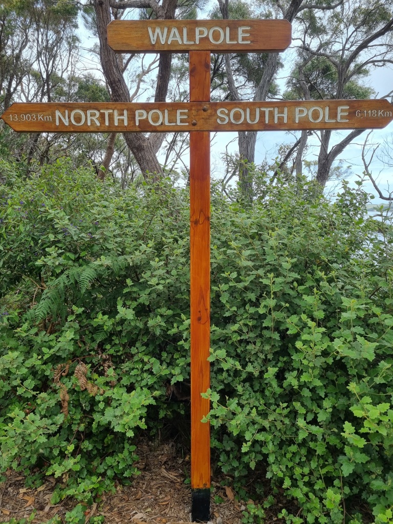
Day 40: Long Point Campsite to Walpole
Scheduled distance: 23.7km
Actual distance: 24.05km
Running(hiking) total: 791.83km
Walking time: 5:37hrs
Total time: 6:06hrs
Total ascent: 638m Total descent: 681m
Cumulative Creepy Crawlies Count: Snakes 3 Ticks 1 Leeches 0
The Day I Met The Tingles
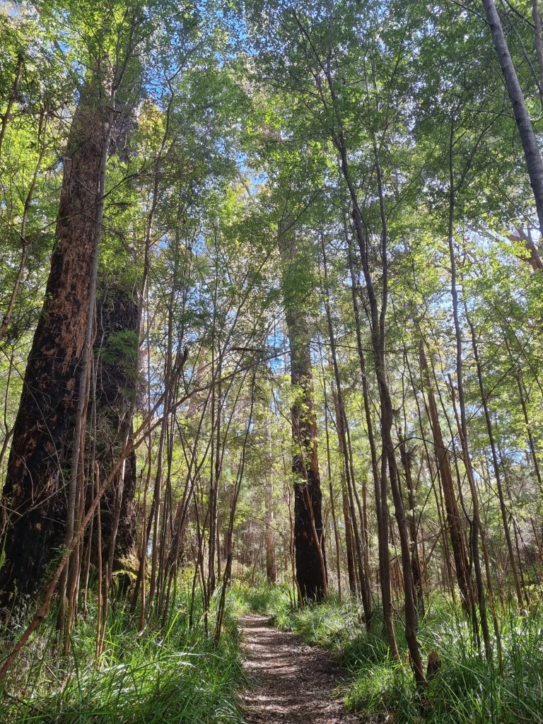
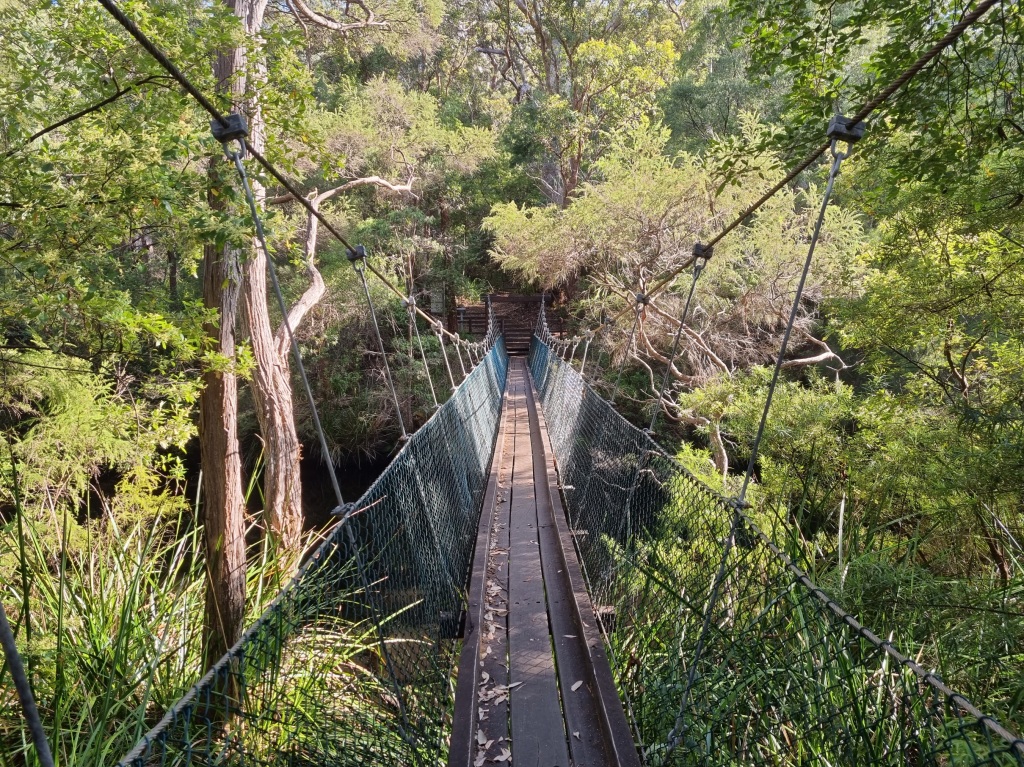
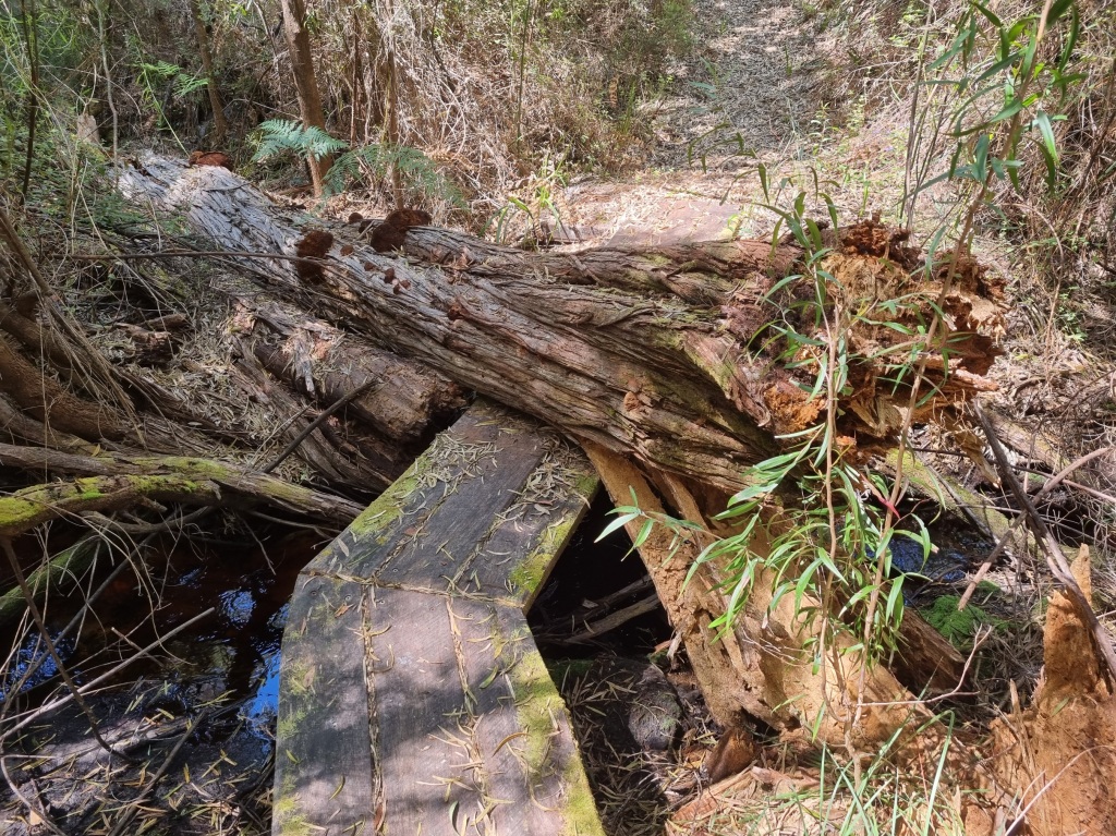
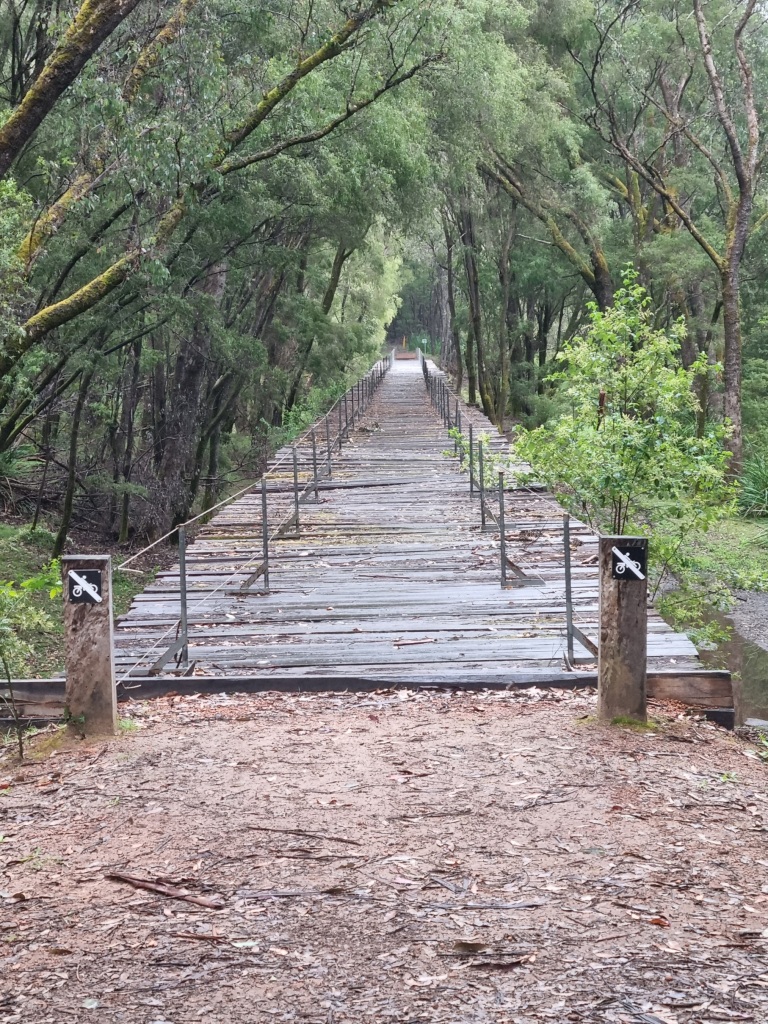
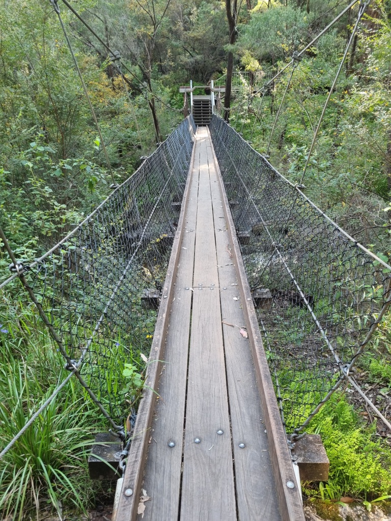
Our day began with more open country walking, then merging into forest and a traverse across a swing bridge.
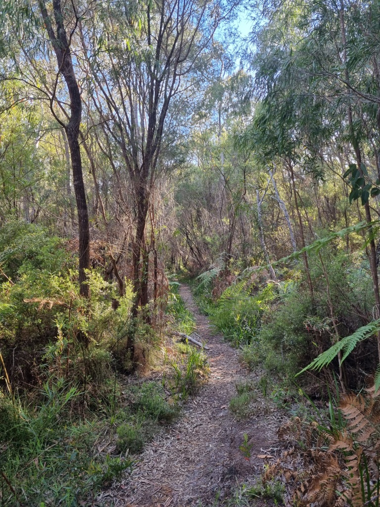
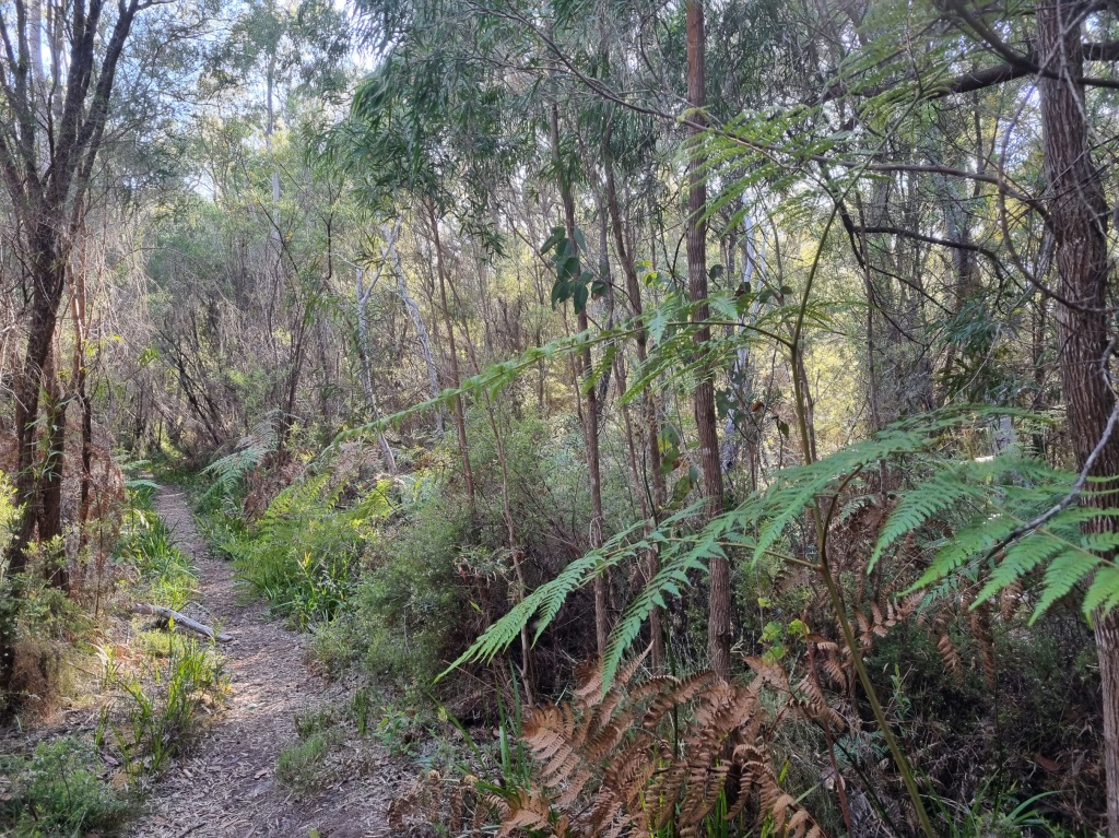
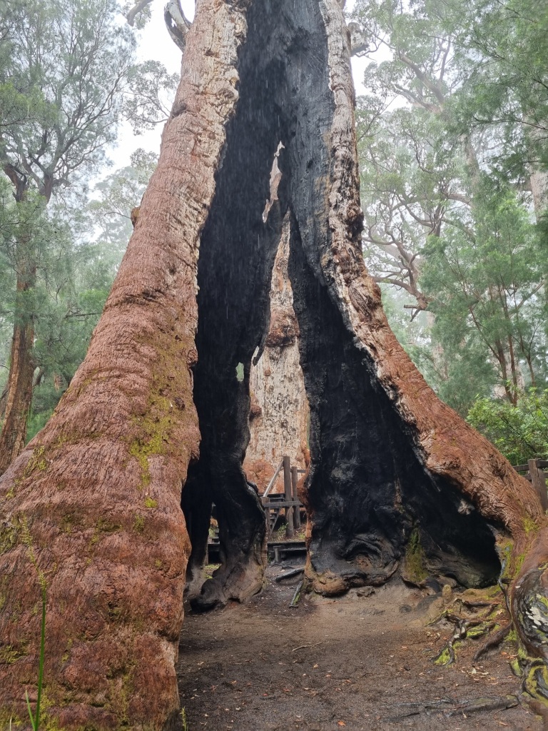
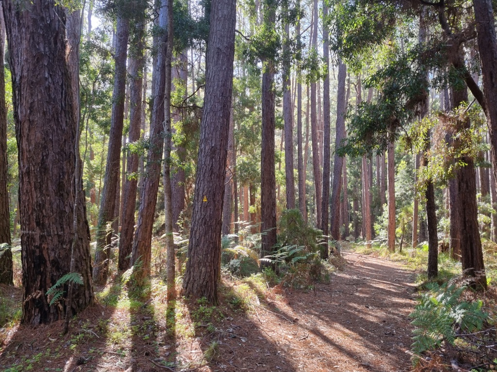
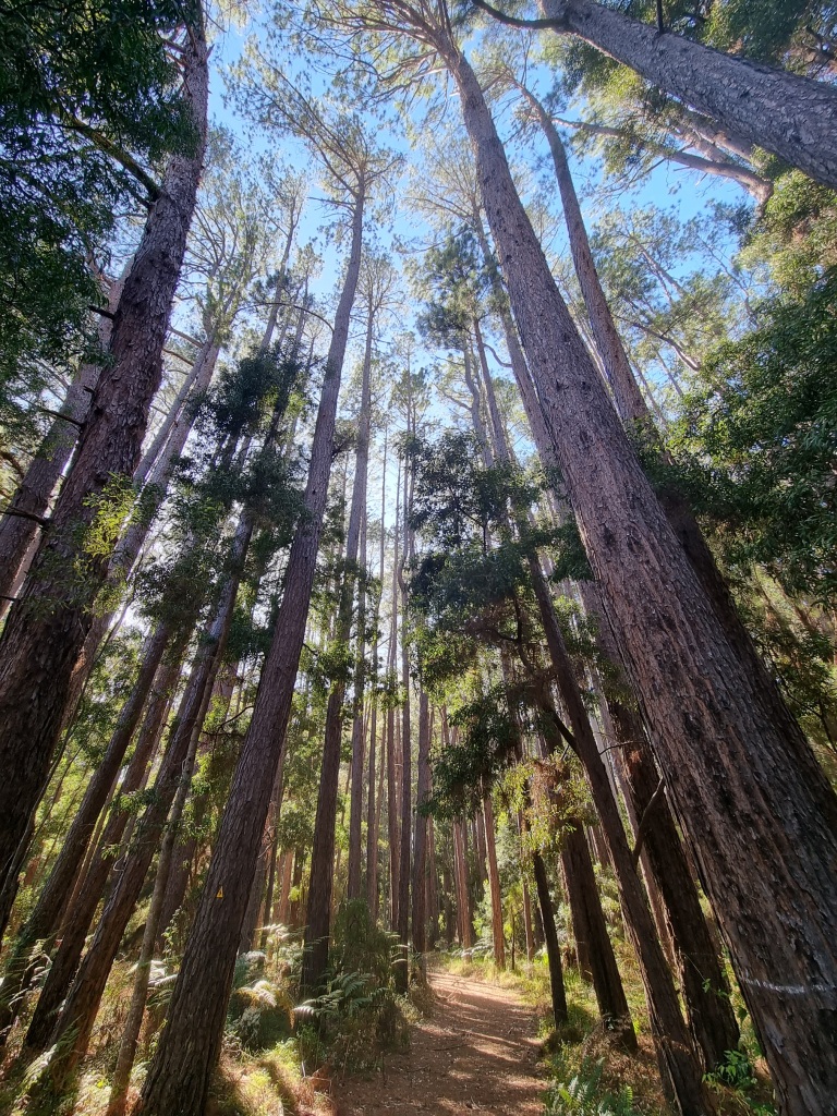
Then we encountered the Tingle Forest.
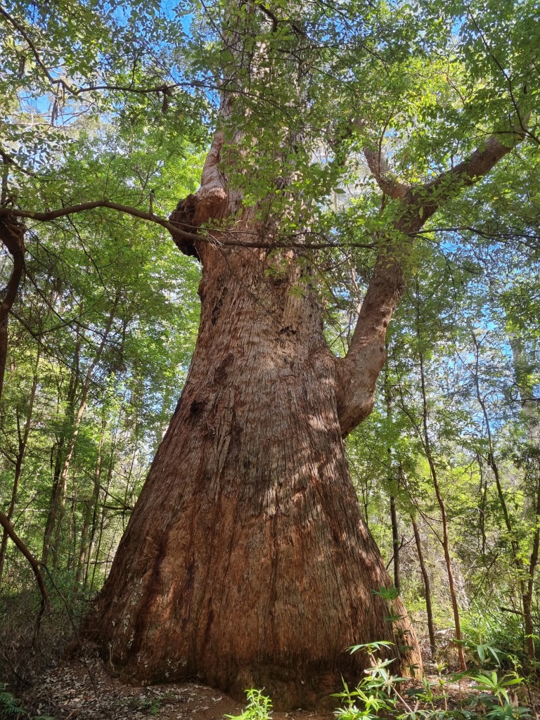
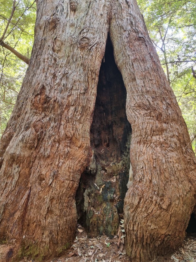
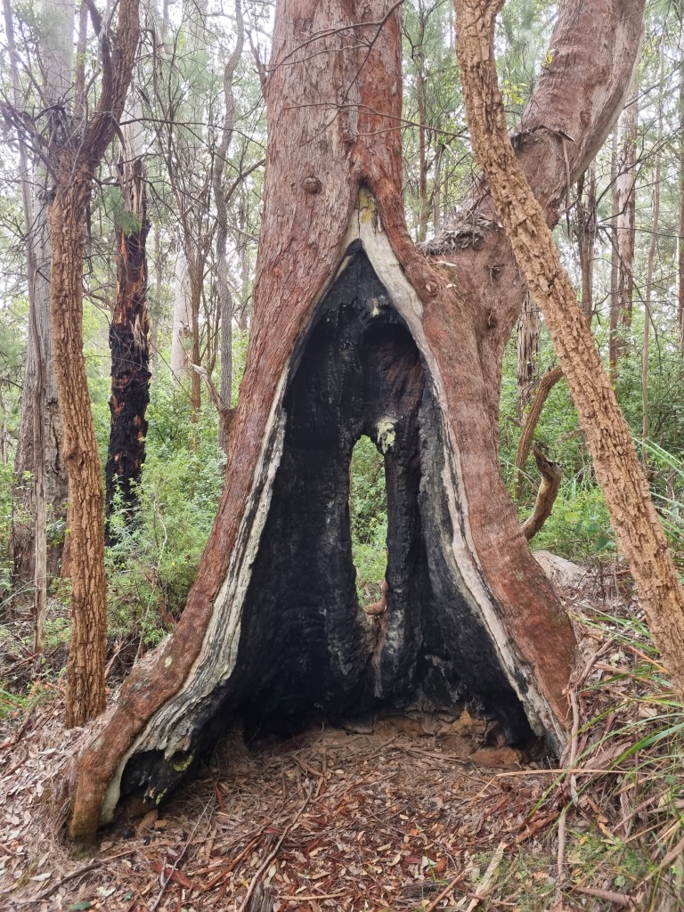
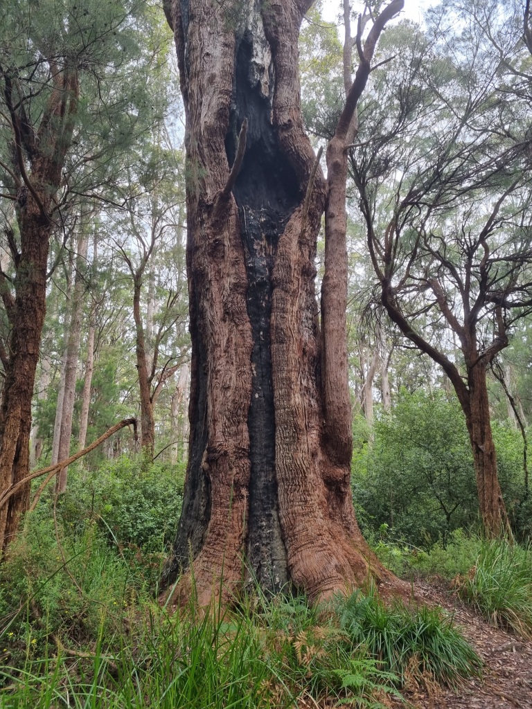
Between Walpole and Denmark in Western Australia (and only here), you will find the Tingle trees. Red, Yellow and Rate (named after John Rate, the District Forester who discovered the third species of tingle tree and tragically died in 1969 by a falling tree branch) Tingles are remnants of the time when Australia was part of Gondwanaland. The Red Tingle is most common in this forest and are magnificent trees. They can burn through the middle and still remain alive and grow. There have been trees that people have driven their cars through.
There will be more spectacular Tingles to share in the coming days.
The walk into Walpole is flat and civilised and I loved this tree arch I walked under.
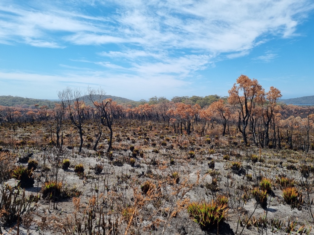
Unfortunately, towards the end of our walk into Walpole, we encountered the recent remains of a controlled burn that got away late last year. It made for a depressing end approach to town.
Admittedly, I’d also run out of water at this point, 5km from our finish line so there are no more photos for today. I slipped into survival mode just to get to the Visitors Centre and a drink. I made it.
Day 41 was a rest day in Walpole. Our last rest day. Eat, drink and be clean.
Day 42: Walpole to Frankland River Campsite
Scheduled distance: 18km
Actual distance: 21.05km
Running(hiking) total: 812.88km
Walking time: 4:49hrs
Total time: 5:43hrs
Total ascent: 447m Total descent: 411m
Cumulative Creepy Crawlies Count: Snakes 3 Ticks 1 Leeches 0
The Day I Met The Giant Tingle
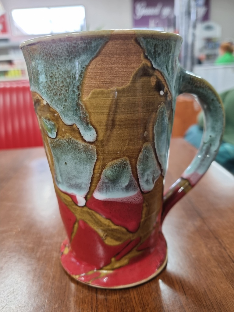
As a ‘first day out of town’ type day Mel did her thing (mysteriously disappearing before I emerged from my room) and I did my thing (coffee and breakfast before I leave town). Believe it or not, the best breakfast in Walpole is at the BP service station. Lovely owners too. I love their coffee mugs that remind me of the colours of the Bibbulmun Track.
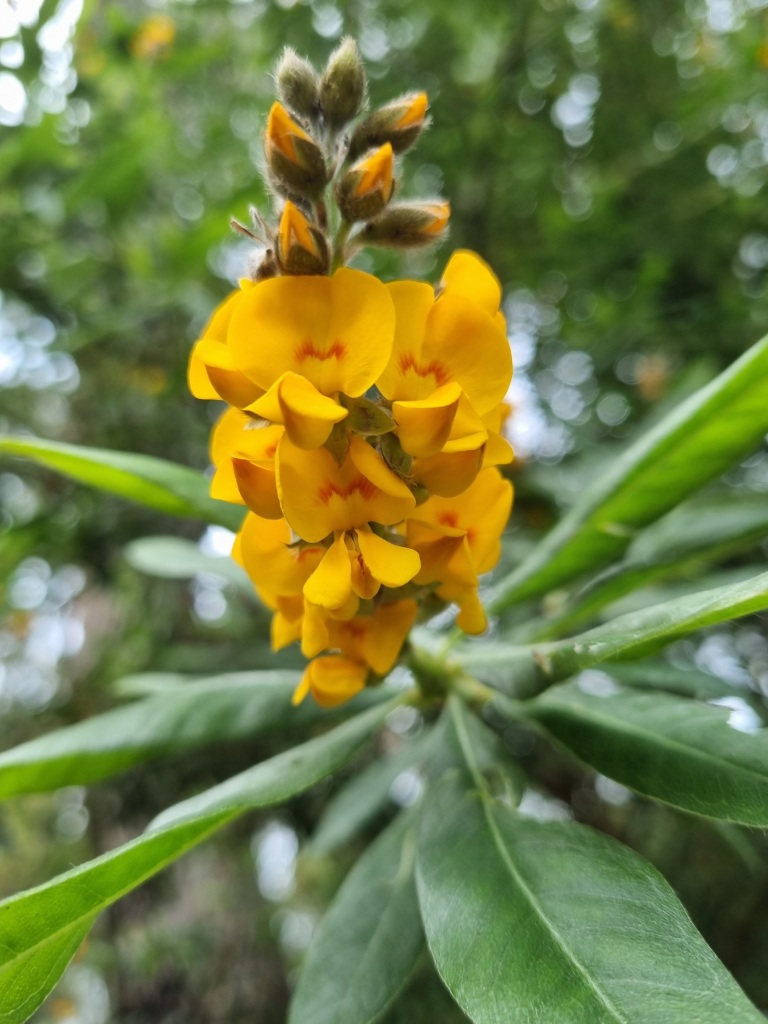
I had a lovely walk out of Walpole. Here’s some things I saw.
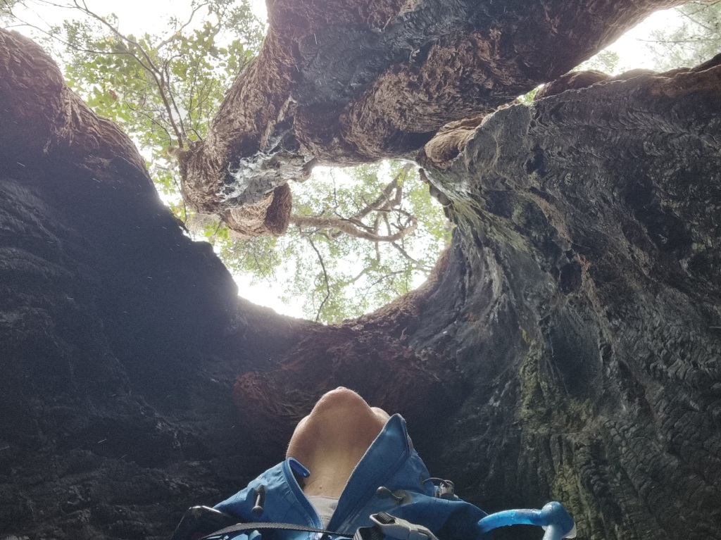
Then it was back into the Tingle forest, including the ‘Giant Tingle”. Impressive, it was.

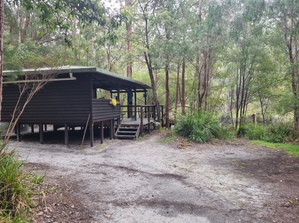
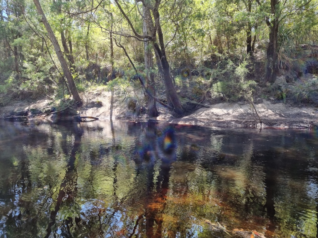
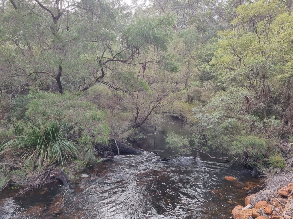
Frankland River Campsite is an unusual one, raised on posts to avoid a flooding river and including a deck. It feels like a holiday house. Close to the river but a bit too cold today for a swim.
I acknowledge the traditional owners of the land on which I walk, the Noongar people, and pay my respects to their Elders past, present and emerging.
Day 38: Mt Chance Campsite to Woolbales Campsite
Scheduled distance: 21.9km
Actual distance: 23.29km
Running(hiking) total: 748.5km
Walking time: 5:04hrs
Total time: 5:28hrs
Total ascent: 276m Total descent: 361m
Cumulative Creepy Crawlies Count: Snakes 2 Ticks 1 Leeches 0
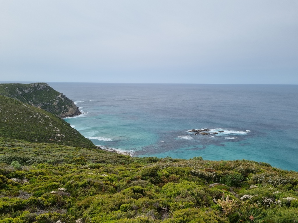
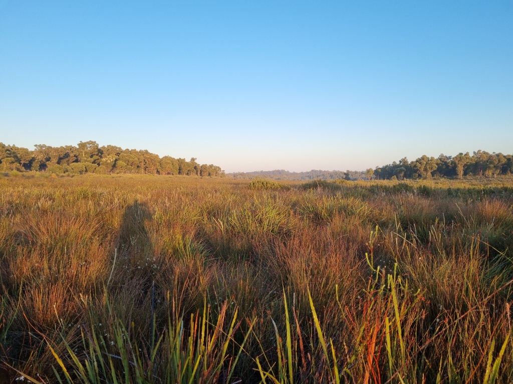
The Day I Glimpsed The Ocean
There were more plains to walk today and I am enjoying the openness after so many weeks in the forests, even if it can get a tad warm.
Today provided a fun side trip up Mt Pingerup. While Mel pushed on to camp, I left my pack at the sign and headed up the hill.
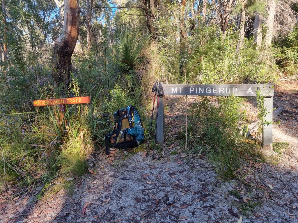
About partway up I realised I’d also left my hiking poles but then admonished myself. I’ve run trail runs trickier than this and I don’t use poles. So up I went minus poles and pack. It’s freeing to walk unencumbered.
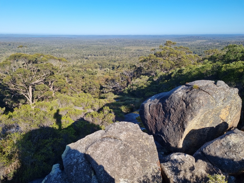
Was the 800m climb worth it? You betcha.
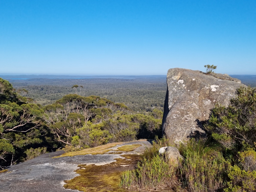
I climbed up in that big rock for a better view. And there, but a shadowy suggestion behind the hills, was the ocean. So close! I got a bit teary.
I didn’t want to leave but I had places to be so off I trotted back down the hill. Well, trotted is probably an understatement. Full run is probably closer to the truth. Having stopped anyway, I decided to make myself a coffee before going on to camp. I shared it with the March flies. And wished I’d carried my coffee making gear to the top of the mountain.
There was more water to encounter on the path and after trying to edge around the first puddle, I decided from there to just walk through them. I had a great time getting wet, singing ‘Wade in the Water’ as I went.
There’s another big rock behind Woolbales Campsite so we enjoyed another stunning sunset.
Day 39: Woolbales Campsite to Long Point Campsite
Scheduled distance: 21.9km
Actual distance: 23.29km
Running(hiking) total: 748.5km
Walking time: 5:04hrs
Total time: 5:28hrs
Total ascent: 276m Total descent: 361m
Cumulative Creepy Crawlies Count: Snakes 3 Ticks 1 Leeches 0
The Day I Threw Myself Into The Ocean
I don’t really have many photos of the first half of this walk because it was basically up and down dunes on a hot morning. But here’s a plant. I think it’s a grevillea.
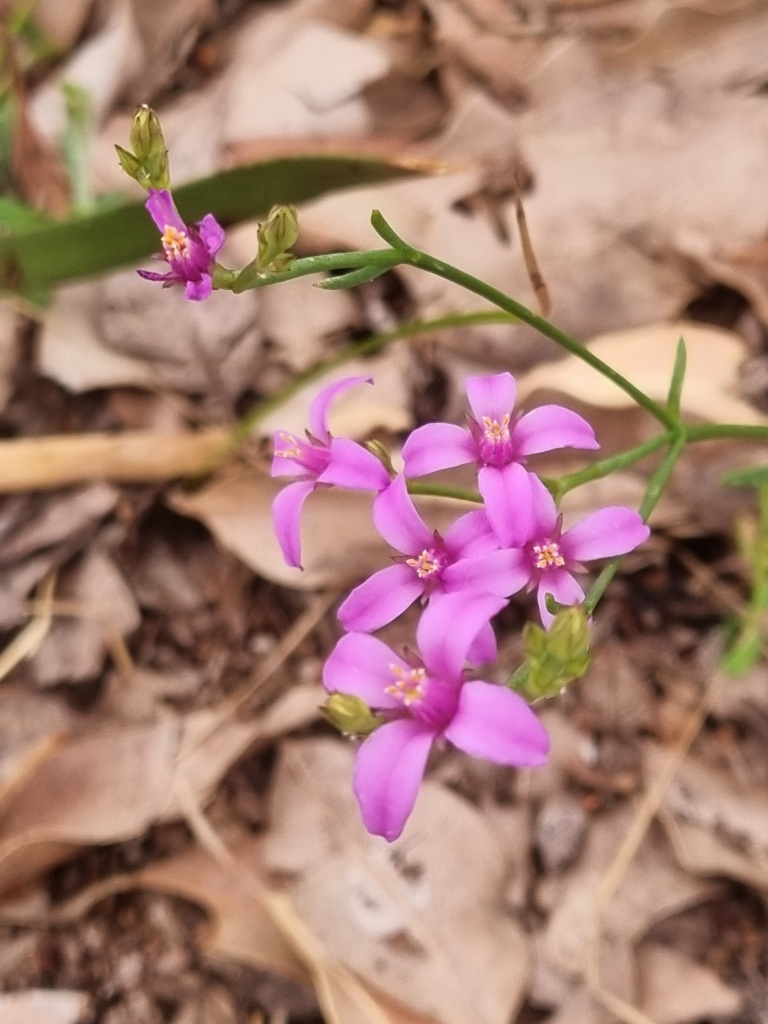
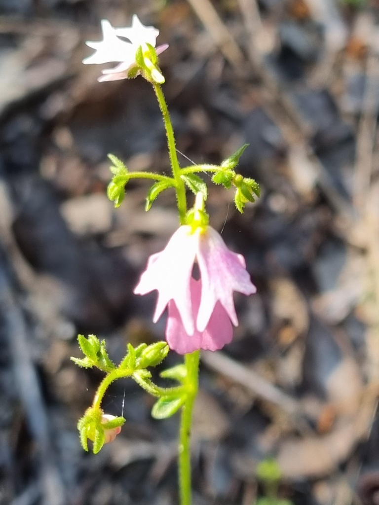
It was after we dropped into some lovely cool tree filled trail that we started to enjoy the journey. We saw many donkey orchids and even a couple of pink enamels.
It was as we climbed back up and out that we spotted a sign to a scenic lookout.
It was only a 10m detour off the track so we went around the corner and there it was. The ocean as far as you could see.
I spread my arms wide and shouted “Its the OOOOCCCCEEEEAAANNNN!!!!” And then I had to sit down because I started to cry. It felt like coming home.
We didn’t linger because I was keen to get right to the beach. We did have to stop on the path down to Mandalay Beach because I disturbed a very large black snake. Sorry, no photo. I’d been too busy admiring the flowers on the other side of the path and walked right past it. Which is when it moved and Mel called out a warning. Oops.
We stopped for a quick snack break and then headed down for about 1km of beach walking. We were lucky to see part of the wreck of the Mandalay, an iron barque shipwrecked in 1911.
We did make a brief stop along the beach while I threw myself into the sea. Fully clothed. Including my shoes.
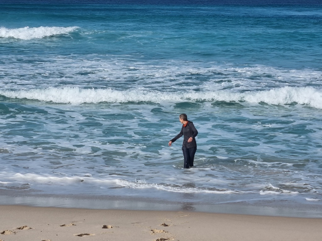
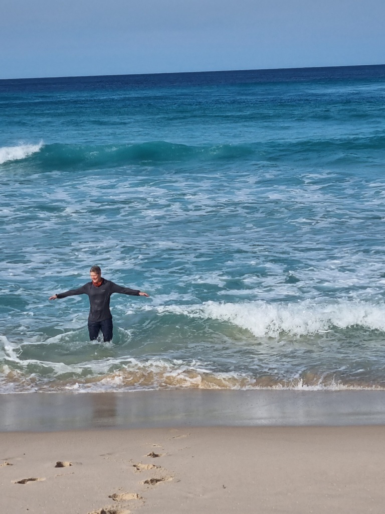
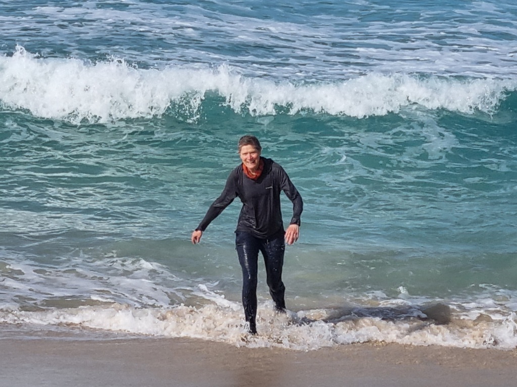
Well hey, it provided some good evaporative cooling while I walked the rest of the way to camp.
There’s a longish walk (about 15min) behind the camp to the rocky edge of the sea. Since camp was hot and full of flies, I made the trek just for the respite. It was worth it.
I acknowledge the traditional owners of the land on which I walk, the Noongar people, and pay my respects to their Elders past, present and emerging.
Day 36: Lake Maringup Campsite to Dog Pool Campsite
Scheduled distance: 25.7km
Actual distance: 26.05km
Running(hiking) total: 705.4km
Walking time: 5:36hrs
Total time: 6:00hrs
Total ascent: 201m Total descent: 197m
Cumulative Creepy Crawlies Count: Snakes 2 Ticks 1 Leeches 0
The Day We Saw A Tiger Snake
It was way too early in the morning and so very unexpected. All you can do is wait for it to make its own sweet way off the track so you can call continue walking.
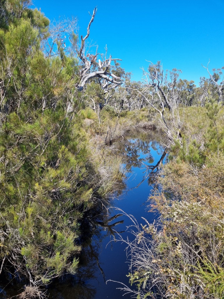
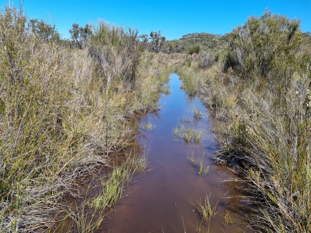
As we head into the plains of the Bibbulmun Track, we are enjoying the flatter walking but the open environment can make it harder to dodge the sun.
This area is traditionally very wet walking (reports from winter or early spring can include up to waist deep water on the track) but with the recent run of warm weather we have been able to skirt most of the wet stuff.

One advantage was spotting the many tadpoles in the large puddles and even the odd frog.
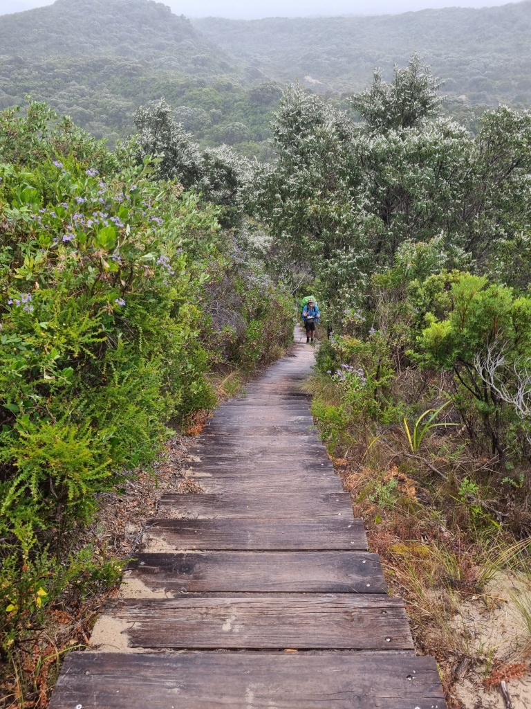
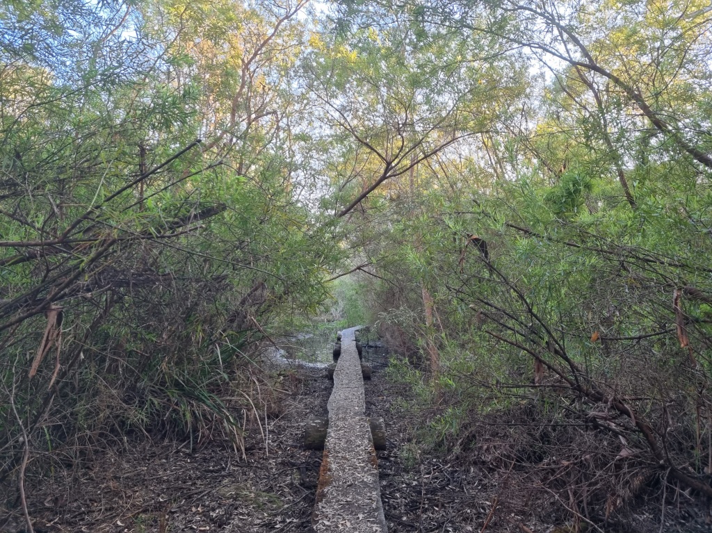
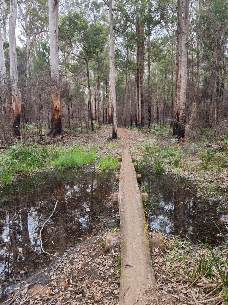
Of course the occasional boardwalk is always welcome.
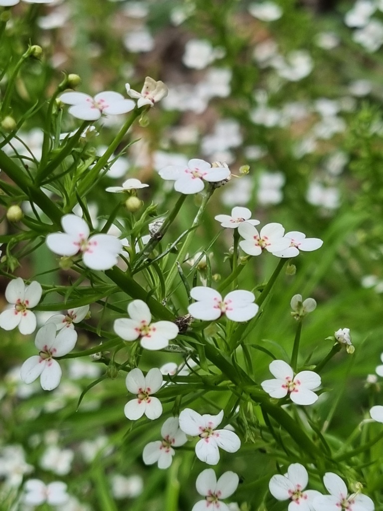
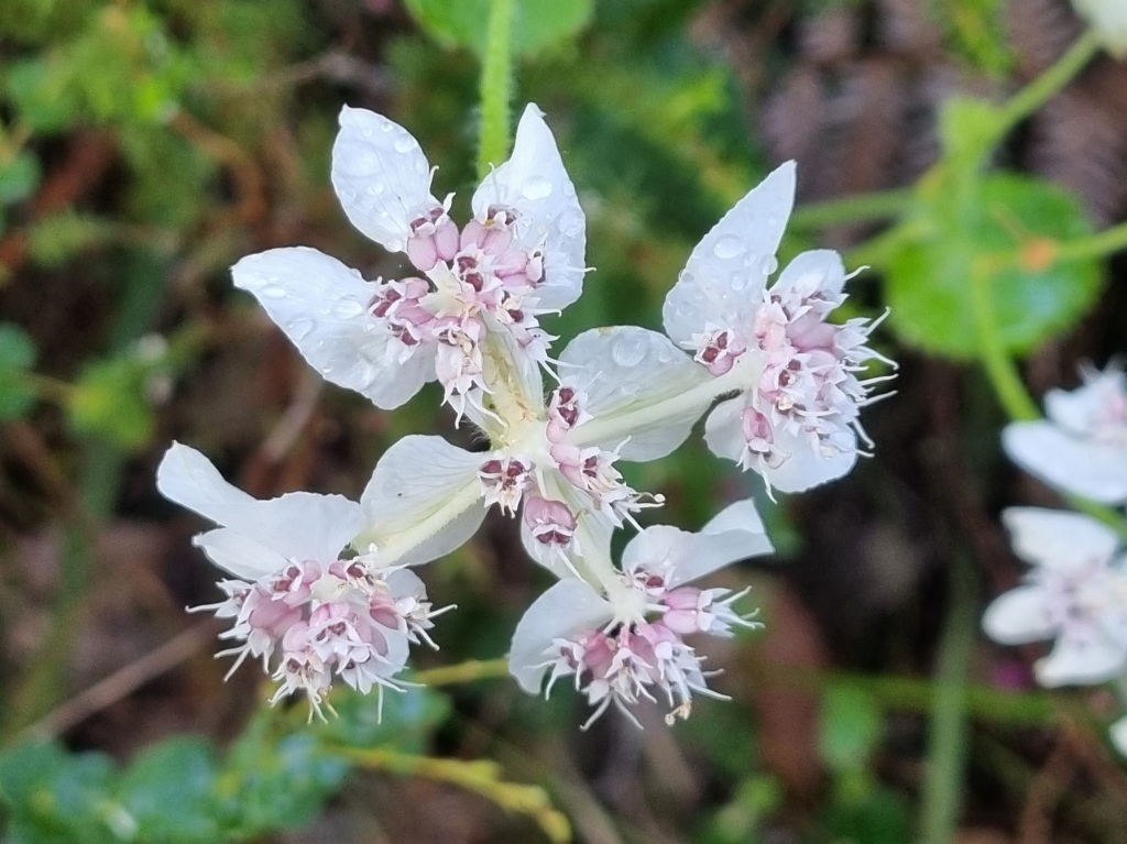
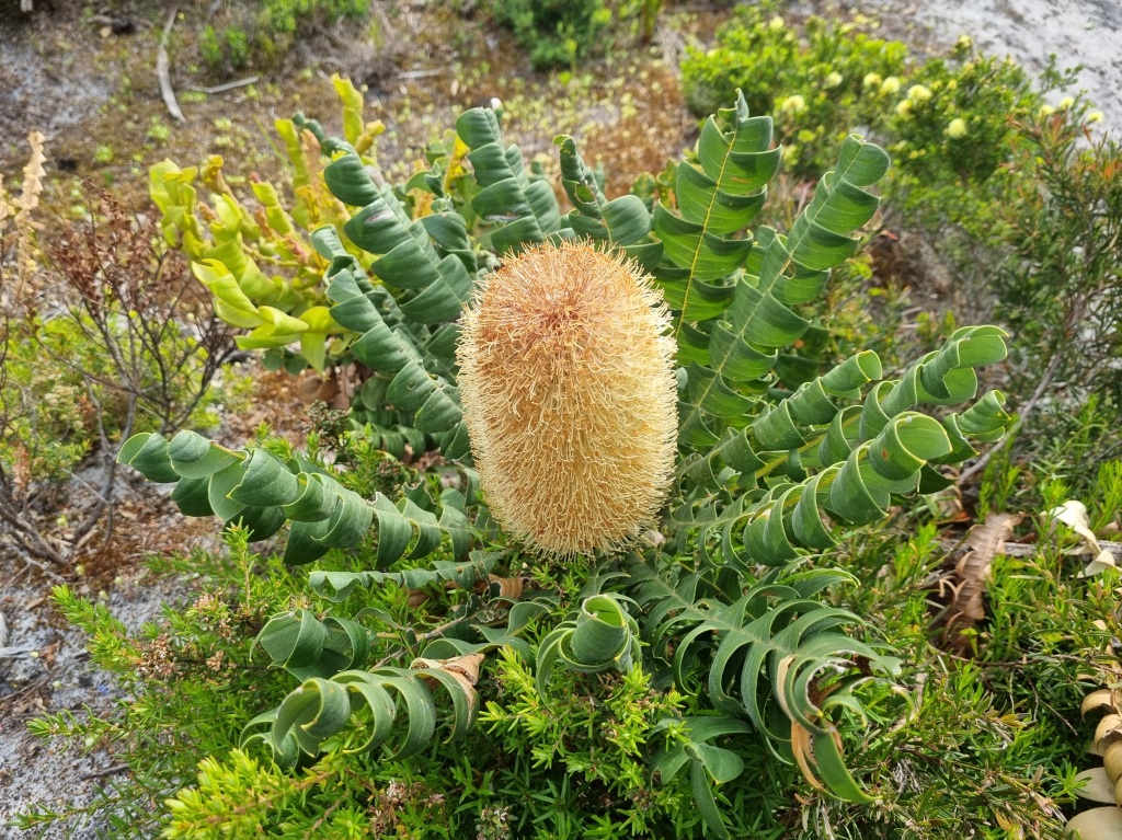
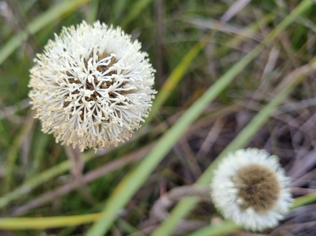
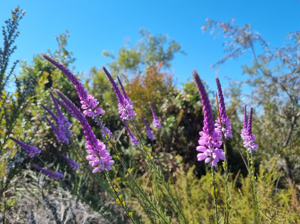
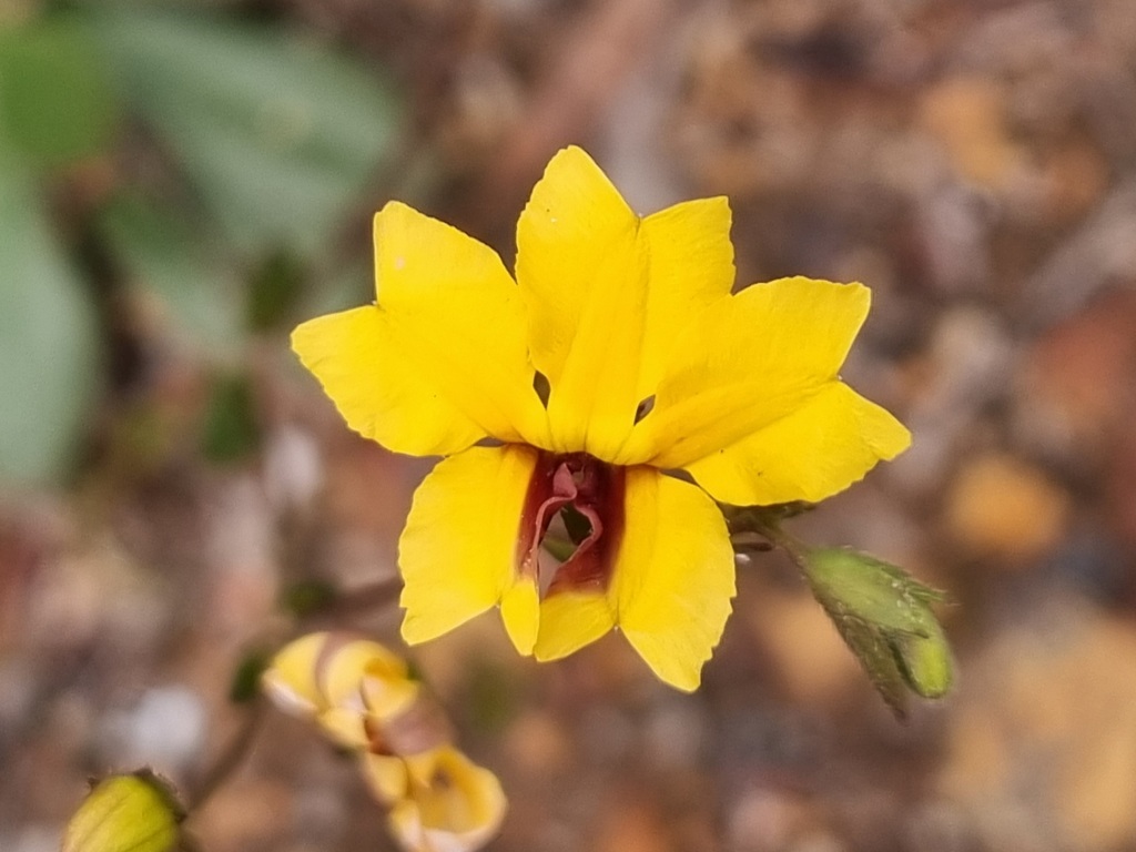
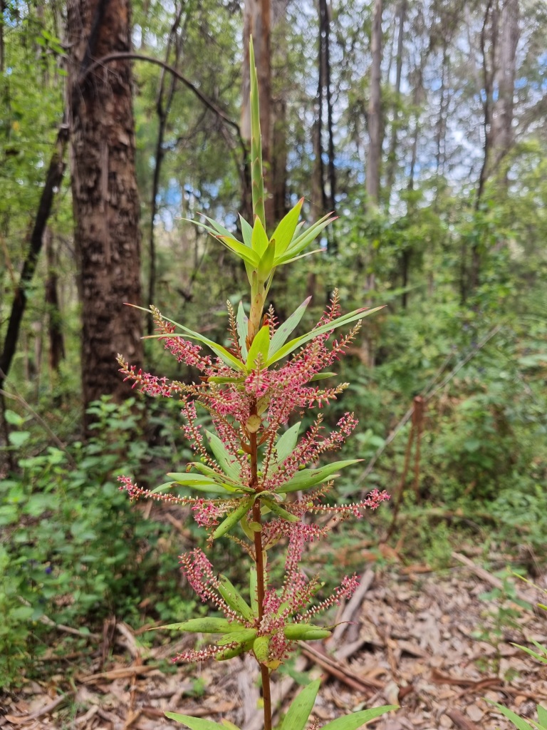
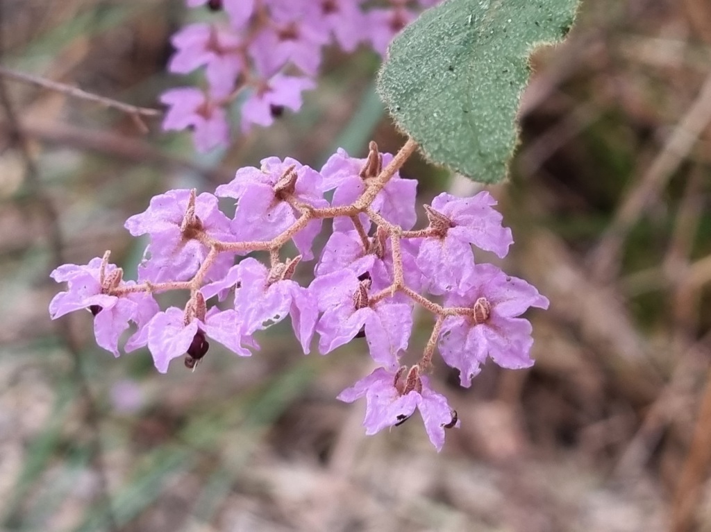
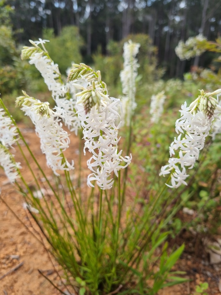
There are still many flowers to brighten our day…
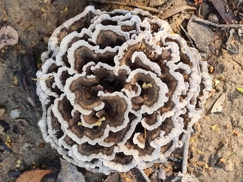
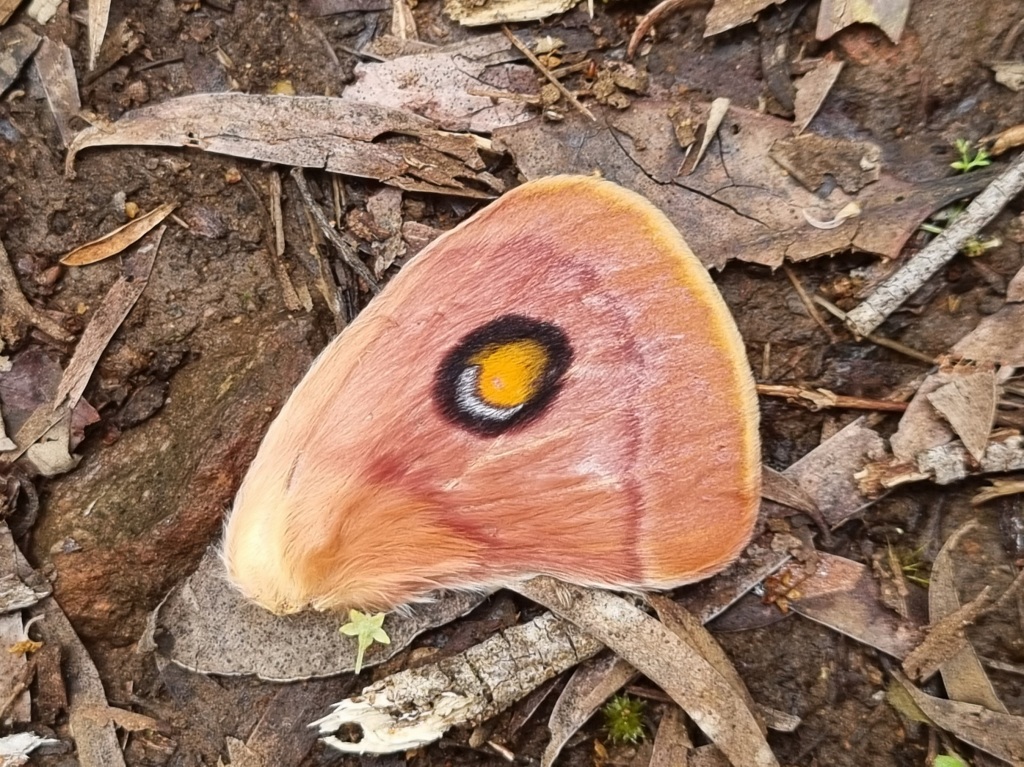
…and even fungi.
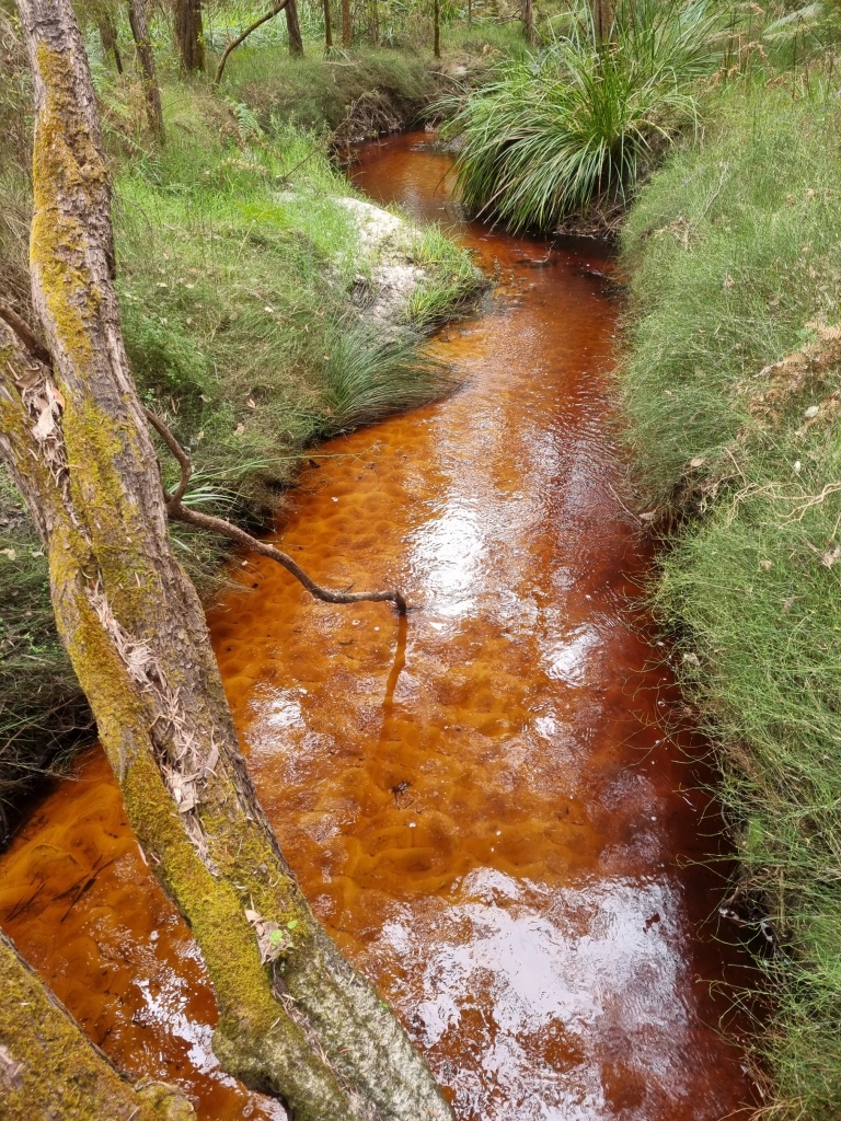
With a hot end to the day, we were thrilled to discover that Dog Pool Campsite, unlike the earlier ones, actually included a pool. Well, actually, a full on river with many different pools to dip in and out of for a refreshing (if very tannin stained) dip in the water. We always appreciate these ends to the day.
Day 37: Dog Pool Campsite to Mt Chance Campsite
Scheduled distance: 25.7km
Actual distance: 26.05km
Running(hiking) total: 705.4km
Walking time: 5:36hrs
Total time: 6:00hrs
Total ascent: 201m Total descent: 197m
Cumulative Creepy Crawlies Count: Snakes 2 Ticks 1 Leeches 0
The Day We Walked Across The Plains
We continue to make our way across the plains of the Bibbulmun Track and also continue to be lucky with the amount and depth of water, keeping our feet mostly dry.
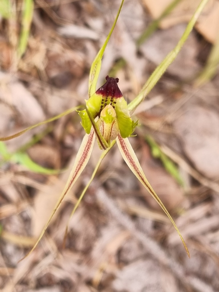
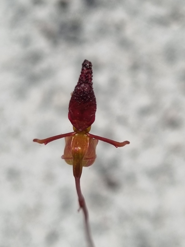
I saw my first Warty Hammer orchid today but unfortunately was unable to get a clear photo due to the lack of light in the early morning and frankly the usual difficulty of photographing a skinny tiny orchid with a phone camera.
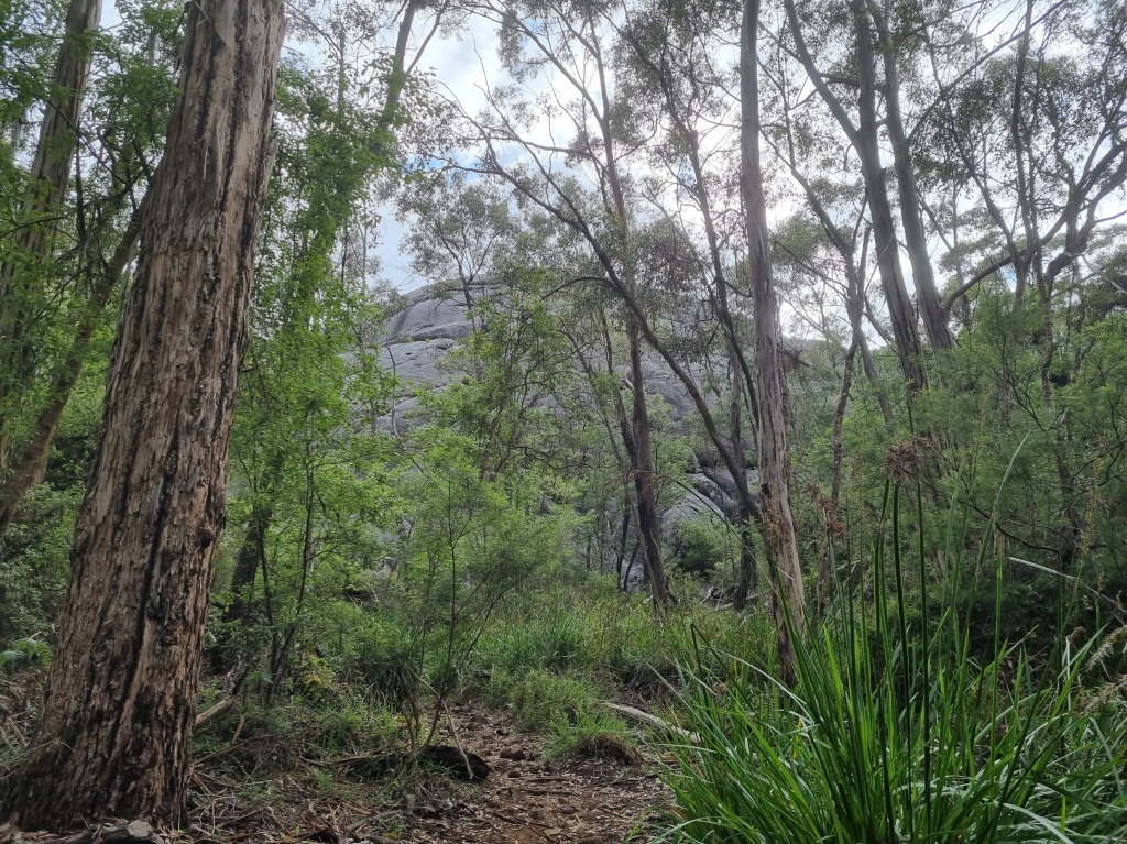
Mt Chance is basically a large rock so it was easy to see roughly where camp was going to be (for once).
The climb up to the rock behind the camp was definitely worth it for fabulous views and an even more impressive sunset.
I acknowledge the traditional owners of the land on which I walk, the Noongar people, and pay my respects to their Elders past, present and emerging.
Day 34: Schafer Campsite to Gardner Campsite
Scheduled distance: 29.8km
Actual distance: 30.63km
Running(hiking) total: 662.68km
Walking time: 6:25hrs
Total time: 8:45hrs
Total ascent: 375m Total descent: 481m
Cumulative Creepy Crawlies Count: Snakes 0 Ticks 1 Leeches 0
The Day We Passed Through Town
With coffee calling in Northcliffe, it wasn’t hard to get moving early this morning. I must have been in a rush because I only took about two photos before we arrived in Northcliffe.
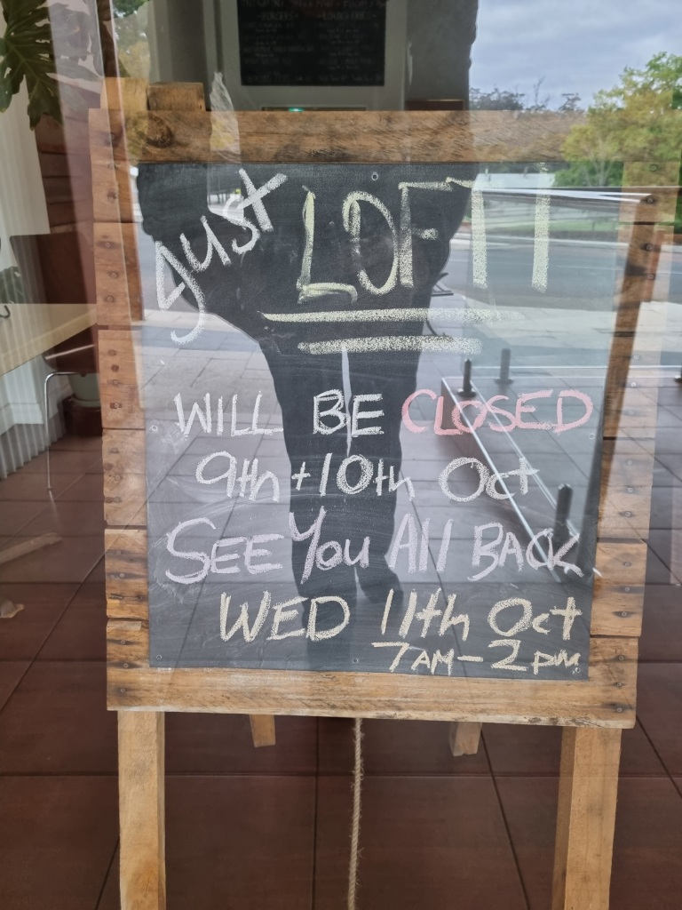
About half an hour out of town we passed a northbound walker who informed us the one cafe in Northcliffe was closed for the next two days. NOOOOOO! It was with a heavier step that we made our way to the Visitors Centre.
It wasn’t quite opening time and as we contemplated what to do, Mel’s eagle eye spotted a Bakery sign across the road. To our joy, it also sold coffee. It only opens two days a week, on the days the cafe is closed. We revelled in our good fortune as we dug into caramel apple cheesecake and coffee and packed away our sweet biscuit and chicken salad wrap for later.
More good luck: There was a Food Co-op where I could buy oats in just the quantity I needed for my new breakfast system. No powdered milk but I’m going to experiment with one of those yoghurt kit sachets. I mean, it’s mostly powdered milk, right? The General Store was also good for additional supplies like the crucial packet of potato chips.
Replenished and restored, it was time to head into the start of new country. We are now two thirds of the way.
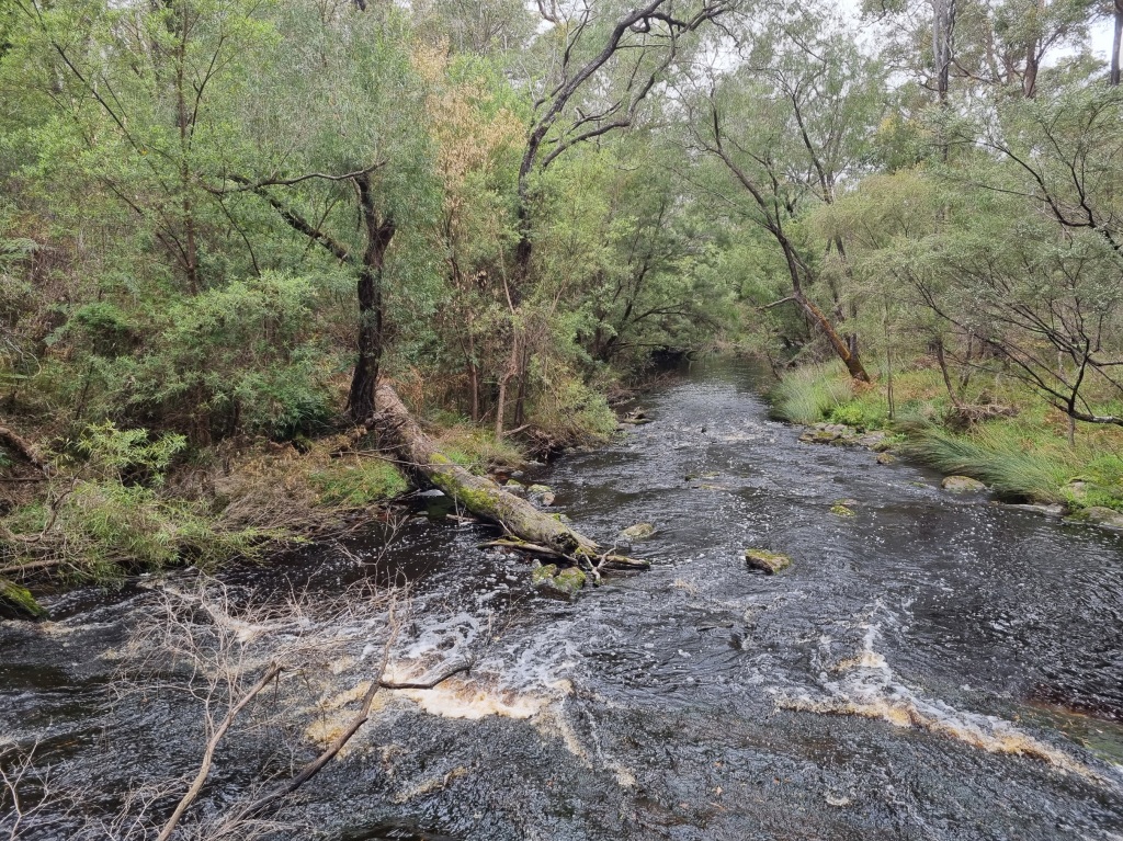
There were flowers and rivers to keep us entertained along the way.
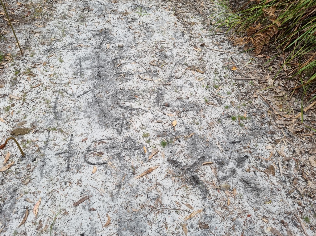
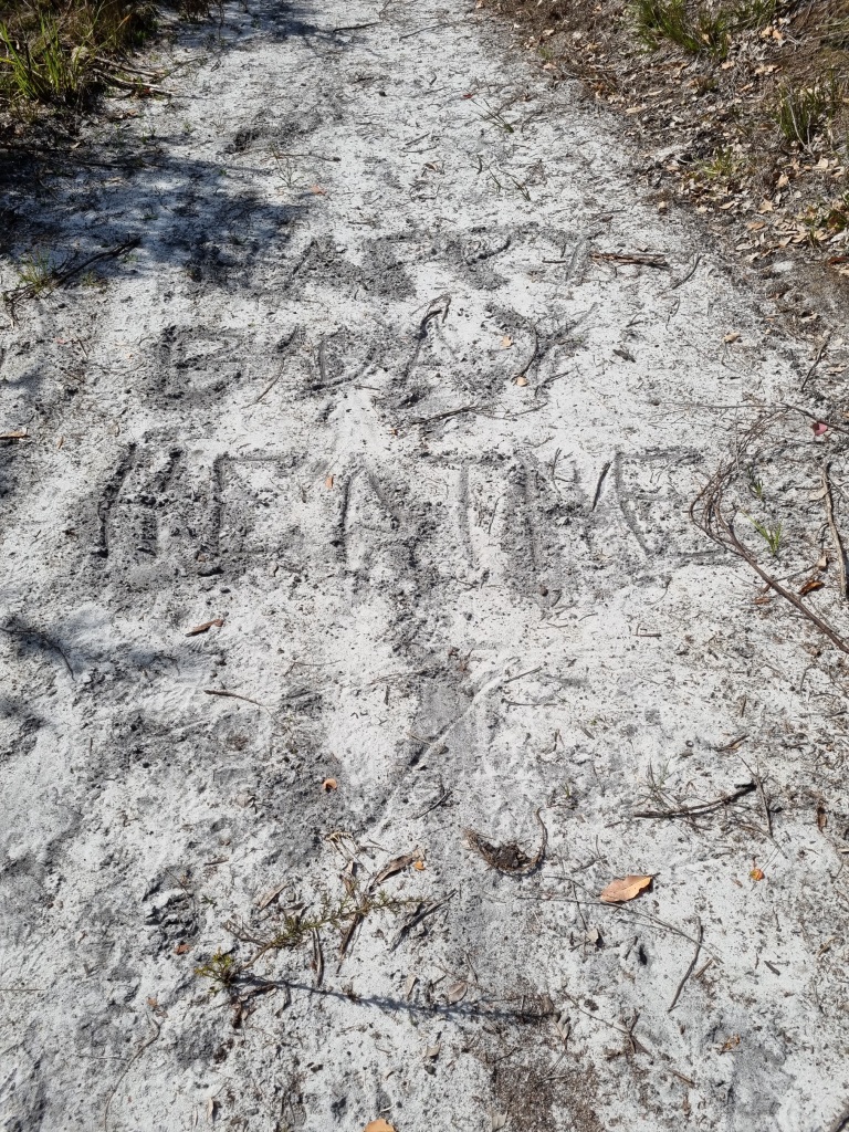
And a special message from our Tramily now travelling a day ahead of us.
Day 35: Gardner Campsite to Lake Maringup Campsite
Scheduled distance: 17.1km
Actual distance: 16.67km
Running(hiking) total: 679.35km
Walking time: 3:59hrs
Total time: 5:01hrs
Total ascent: 237m Total descent: 241m
Cumulative Creepy Crawlies Count: Snakes 1 Ticks 1 Leeches 0
The Day I Changed A Number In The Track Record Book
For 34 days I’ve been writing a particular number under the “Age” column of the Track Record Book in each campsite and visitors centre. Today I had to increase that number by one.
I also increased my snake sightings by one. Happy Birthday to me. Not quite the gift I’d have chosen.
A note re the Creepy Crawlies Count: Ticks and Leeches are only counted when they attach themselves to me. Snakes are counted when they are sighted. Rustlings don’t count and I don’t intend to count any that attach themselves.
Today was a me day so I had a lazy morning with coffee and a special breakfast.
I saw some orchids.
I clambered over logs.
I splashed through puddles.
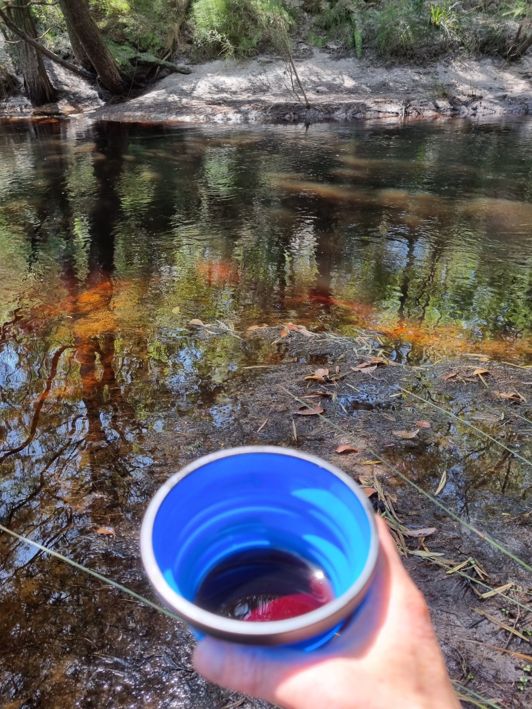
I found a quiet spot by the river for lunch and cracked open the bottle of Pemberley Winery Pinot Noir I’d been carrying for four days. (In a special soft flask not the glass bottle thankfully.)
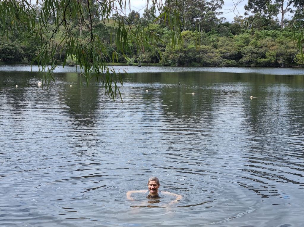
I’d had such a fun day that my arrival at camp was at a full sprint. This special day ended with a swim in the lake, more wine with dinner and some freeze dried icecream for dessert shared around with fellow Bibb travellers.
Happy trail days. 😁
I acknowledge the traditional owners of the land on which I walk, the Noongar people, and pay my respects to their Elders past, present and emerging.
Day 32: Pemberton to Warren Campsite
Scheduled distance: 22.6km
Actual distance: 22.59km
Running(hiking) total: 610.34km
Walking time: 5:47hrs
Total time: 6:42hrs
Total ascent: 682m Total descent: 665m
Cumulative Creepy Crawlies Count: Snakes 0 Ticks 1 Leeches 0
The Day I Did It My Way
Mel and I agreed to hike our own hikes today so when she left just before 6am to walk to the next campsite, I was just getting up.
I showered, packed my backpack and my bounce bag and then, leaving my backpack at the accommodation, headed out to the main street to post my parcel and search for coffee and breakfast.
This was not an encouraging sign:
Fortunately, one cafe was open so I sat down to enjoy a brekky wrap, coffee, catching up with other hikers and a long phone conversation with a dear friend. With a quick detour to the bakery for a jam doughnut, I went back to the cottage, collected my pack and set off to join Mel at Warren Campsite.
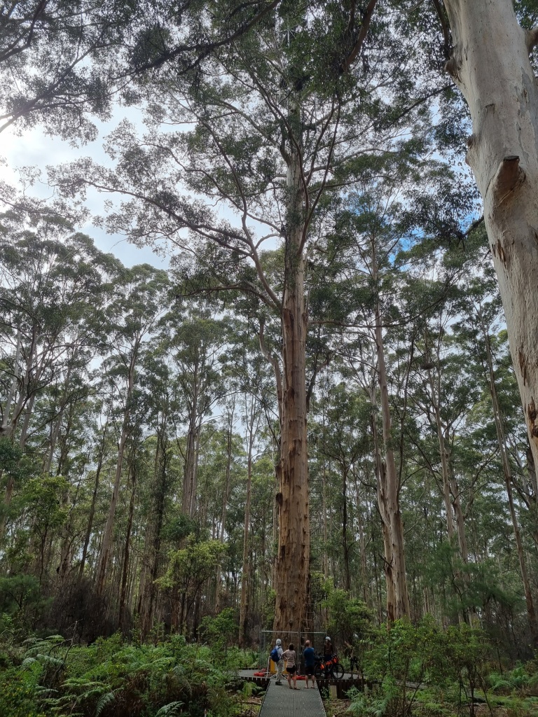
First stop was the Gloucester Tree, a former fire lookout, now a tourist attraction one can climb (if one is not afraid of heights) but not today as it is undergoing structural maintenance.
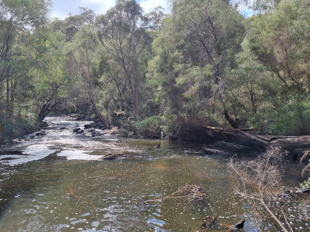
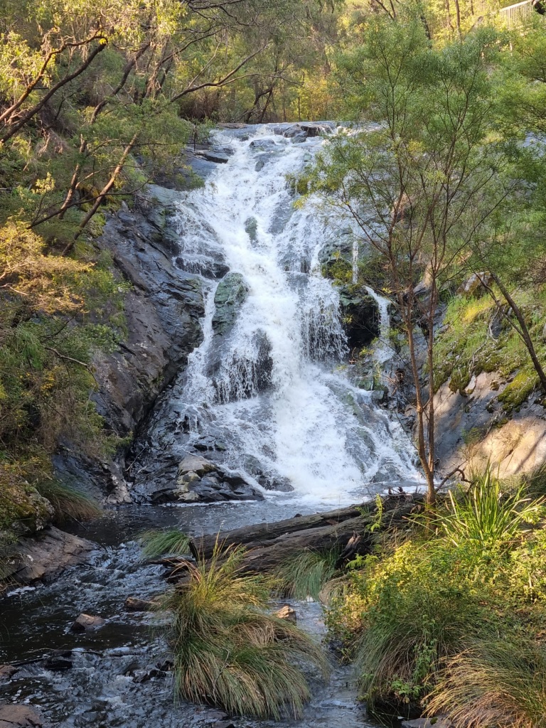
Then a detour to the Cascades (I love a bit of water over rocks) where I took the time to make a cup of tea and dangle my feet in the water.
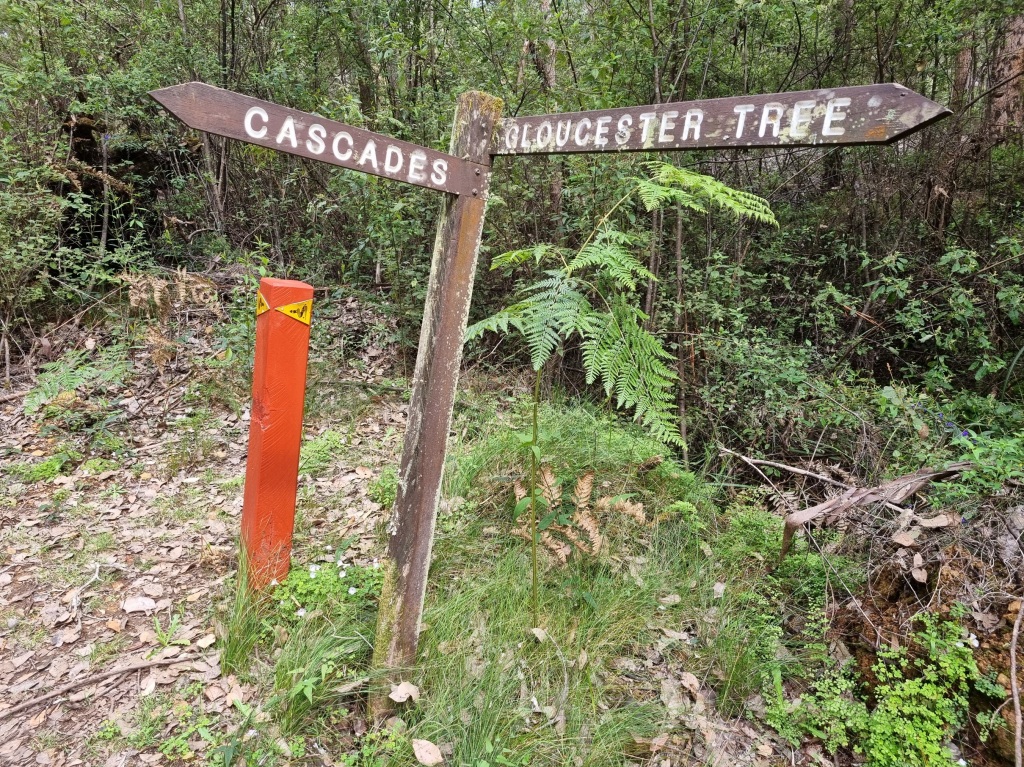
You can actually catch a tram from Pemberton to the Cascades. And I guess some Bibbulmun walkers may choose to do that and shorten the hike for the day but is that cheating?
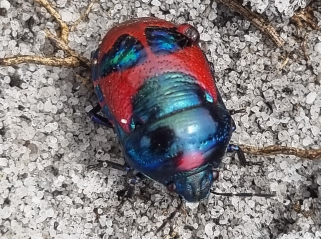
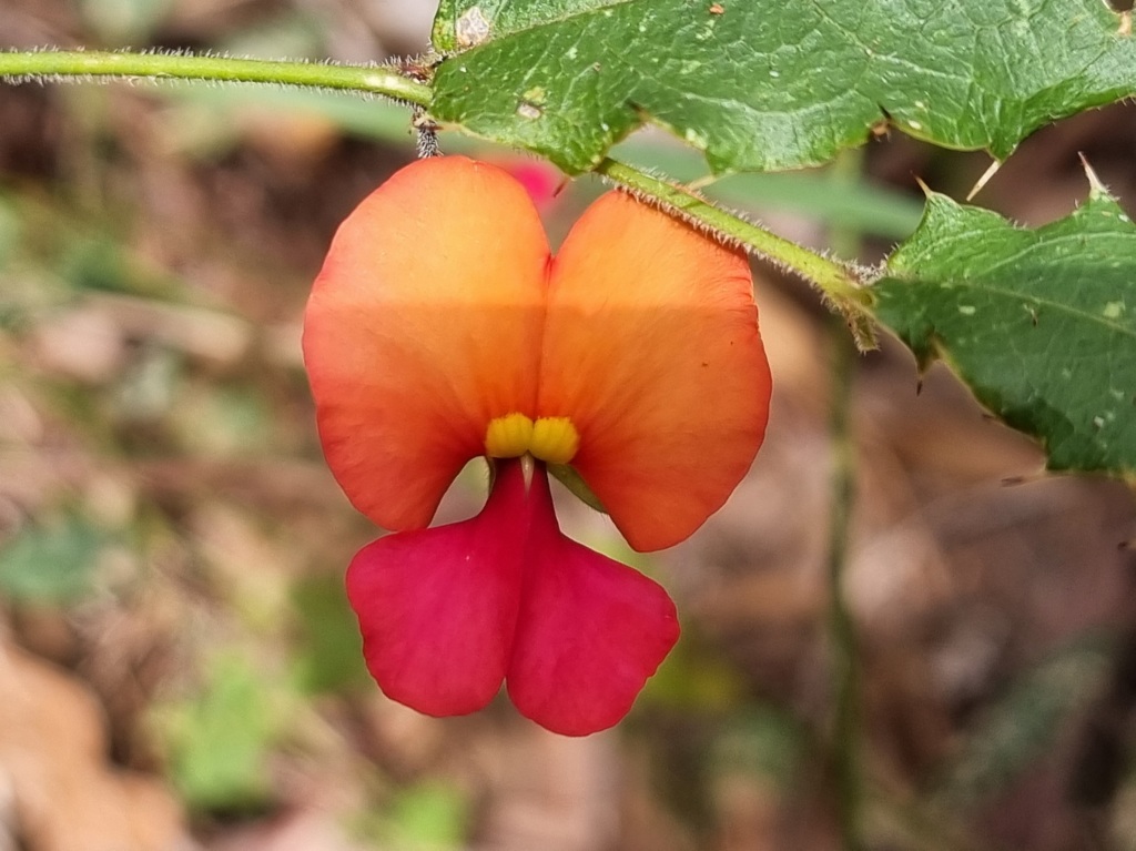
Other than that, I took lots of flower photos including a couple with these shiny fellows.
Day 33: Warren Campsite to Schafer Campsite
Scheduled distance: 22.1km
Actual distance: 21.71km
Running(hiking) total: 632.05km
Walking time: 5:02hrs
Total time: 5:18hrs
Total ascent: 632m Total descent: 606m
Cumulative Creepy Crawlies Count: Snakes 0 Ticks 1 Leeches 0
The Day I Learned The 5km Rule
So I’ve mentioned already the days I’ve found to be a slog and my struggles to identify the reasons. Today was another trying day. I started out well but by the time we stopped for our snack break after 10km I was exhausted, frustrated and emotional. I didn’t even feel like eating.
I knew I had to eat, though. So I popped some jerky in my mouth and the next thing I knew I’d devoured my whole snack pouch. And my mood improved 1000%. Ah.
On we went, me feeling so much better…until about 5km later when I felt my energy start flagging. I had a chocolate bar in my hip belt pocket which I ate and I picked up again. Ah. Again.
It appears my body needs fuel about every 5km. But why has it taken this long to work that out? Why wasn’t it such a problem early on?
My only theory is that earlier on I had some fat reserves my body could call on when it was short on food fuel. Having now lost a few kilograms I guess there’s not much left to draw on.
Luckily we pass through the small town of Northcliffe tomorrow where I can buy more supplies to implement this new Eat Something Every 5km rule.
And hopefully there will be no more slogging.
I acknowledge the traditional owners of the land on which I walk, the Noongar people, and pay my respects to their Elders past, present and emerging.
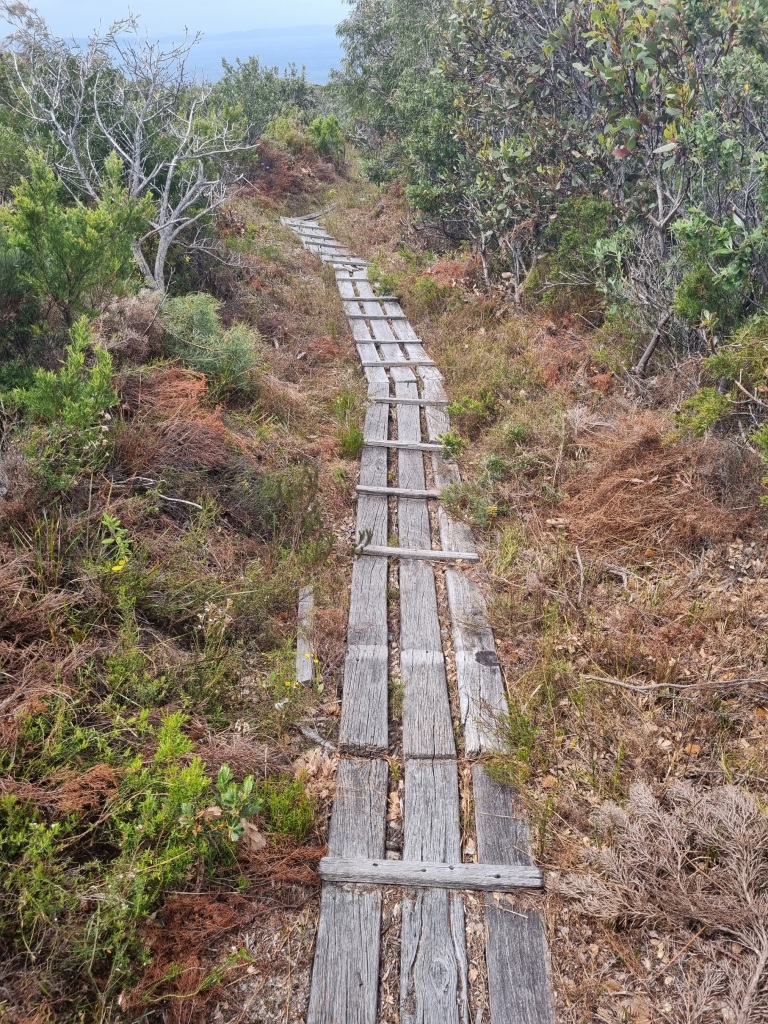
Day 28: Boarding House Campsite to Beavis Campsite
Scheduled distance: 21.1km
Actual distance: 20.4km
Running(hiking) total: 541.96km
Walking time: 4:50hrs
Total time: 5:08hrs
Total ascent: 701m Total descent: 744m
Cumulative Creepy Crawlies Count: Snakes 0 Ticks 1 Leeches 0
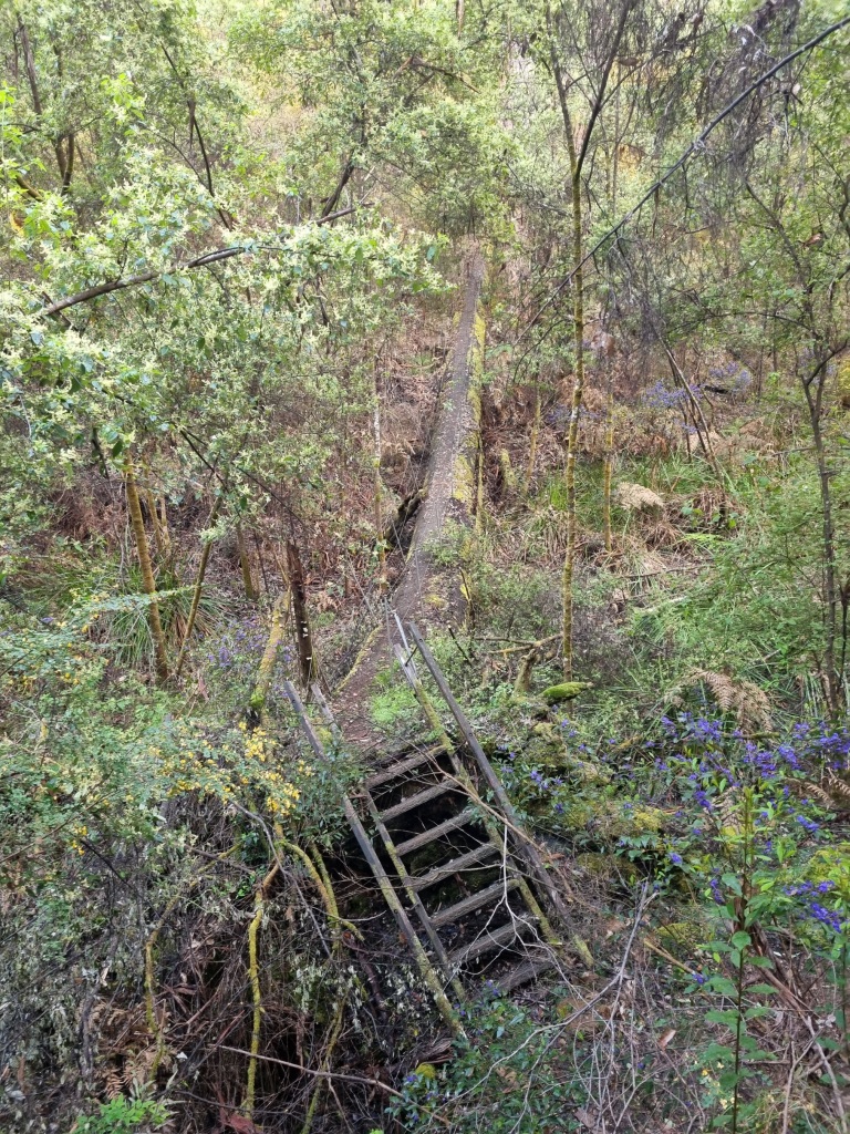
The Day We Rode The Rollercoaster
I don’t have a lot of photos to share today. We were too busy ridi…walking the rollercoaster that is this section.
Here’s a visualisation of what we encountered:
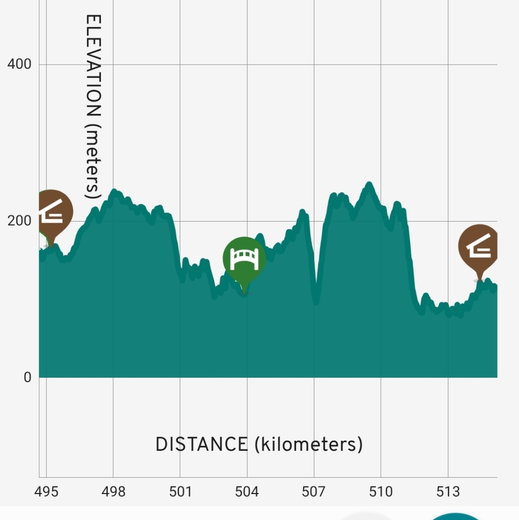
Some pretty exciting and fun downhills in there. Climbing up the other side… not so much.
Even the bridges went up. And the steps up to them looked like they’d come from an abandoned fairground.
I’d been struggling but at the 19km mark, my reserve energy tank (that only opens near the end of a race) kicked in and I sped to the campsite.
Dripping in sweat, I dumped my pack, took off my hat, shoes and pants and then launched straight into the tadpole-filled pond next to the campsite.
I don’t have a photo of that either but here’s a bit of the Donnelly River we’ve been following all day. I’m pretty sure the pond was just as cold.
And no, we don’t know what happened to Butthead.
Day 29: Beavis Campsite to Beedelup Campsite
Scheduled distance: 22.0km
Actual distance: 21.18km
Running(hiking) total: 563.14km
Walking time: 4:45hrs
Total time: 10:00hrs
Total ascent: 632m Total descent: 606m
Cumulative Creepy Crawlies Count: Snakes 0 Ticks 1 Leeches 0
The Day I Spent At Karri Valley
Guess you may have noticed that rather large time gap between the time I spent walking and the total time I took to get from one campsite to the next, eh?
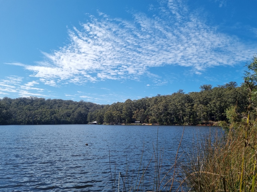
About 3km or less from the Beedelup Campsite is the RAC Karri Valley Resort, a holiday destination on a large lake with a range of accommodation options, a general store and a restaurant. To get there off the trail is only a 1km detour.
So I detoured. Oh boy, did I detour.
I had a coffee, then an ice-cream, then some potato chips.
The general store was happy to look after my pack so I went for a swim.
It was a hot day and the water was cold so I spent the next hour or so alternating between swimming and warming up again on the pontoon.
After drying off and getting dressed, I went to the restaurant for lunch.
I thought about having another swim but I was stuffed and thought it would be better to walk it off. So I set off to camp via the Beedelup Falls Loop. I can never resist a swing bridge.
By the time I got to camp I was hot and sweaty again so I took another dip in the conveniently placed river pool.
I came into camp like one of the many buzzing blowflies and regaled all with my exploits for the day. I’m sure they were exhausted listeners. And perhaps a tiny bit sorry they didn’t detour too…..
Day 30 Beedelup Campsite to Pemberton
Scheduled distance: 25.1km
Actual distance: 24.61km
Running(hiking) total: 587.75km
Walking time: 5:15hrs
Total time: 5:32hrs
Total ascent: 438m Total descent: 439m
Cumulative Creepy Crawlies Count: Snakes 0 Ticks 1 Leeches 0
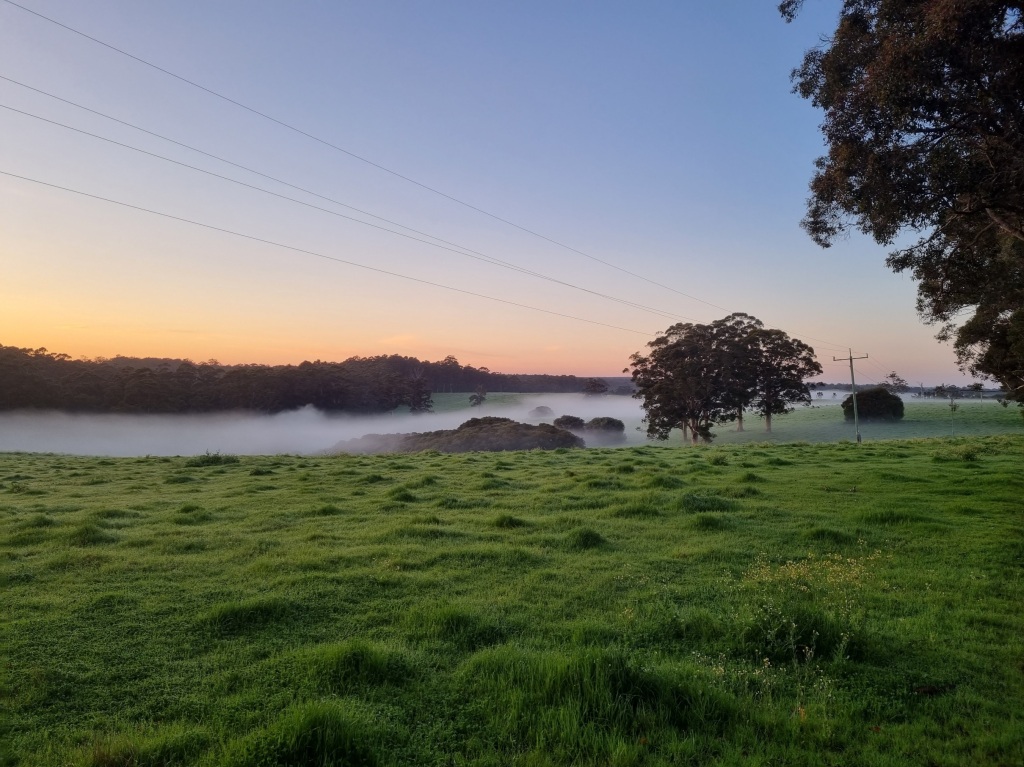
The Day We Almost Beat The Heat
With 25km to cover and a forecast of 30°C, there was nothing for it but to get away from camp early (just after 5am) and try and arrive in Pemberton before the worst of the heat set in.
Thankfully it was easier walking today with just a few hills. Although, the first one was straight out of camp before my legs could wake up properly. Ouch said my Achilles tendon.
The sunrise over the misty pastures made the early start worth it.
A stretch through an aboretum provided not only welcome shade but thanks to the variety of pines, also a lot softer underfoot.
Water was never too far away. Big Brook Dam was a temptation to swim but we pushed on.
Our entry into Pemberton went via the town swimming pool. Yet more temptation but we could smell the coffee drawing us on.
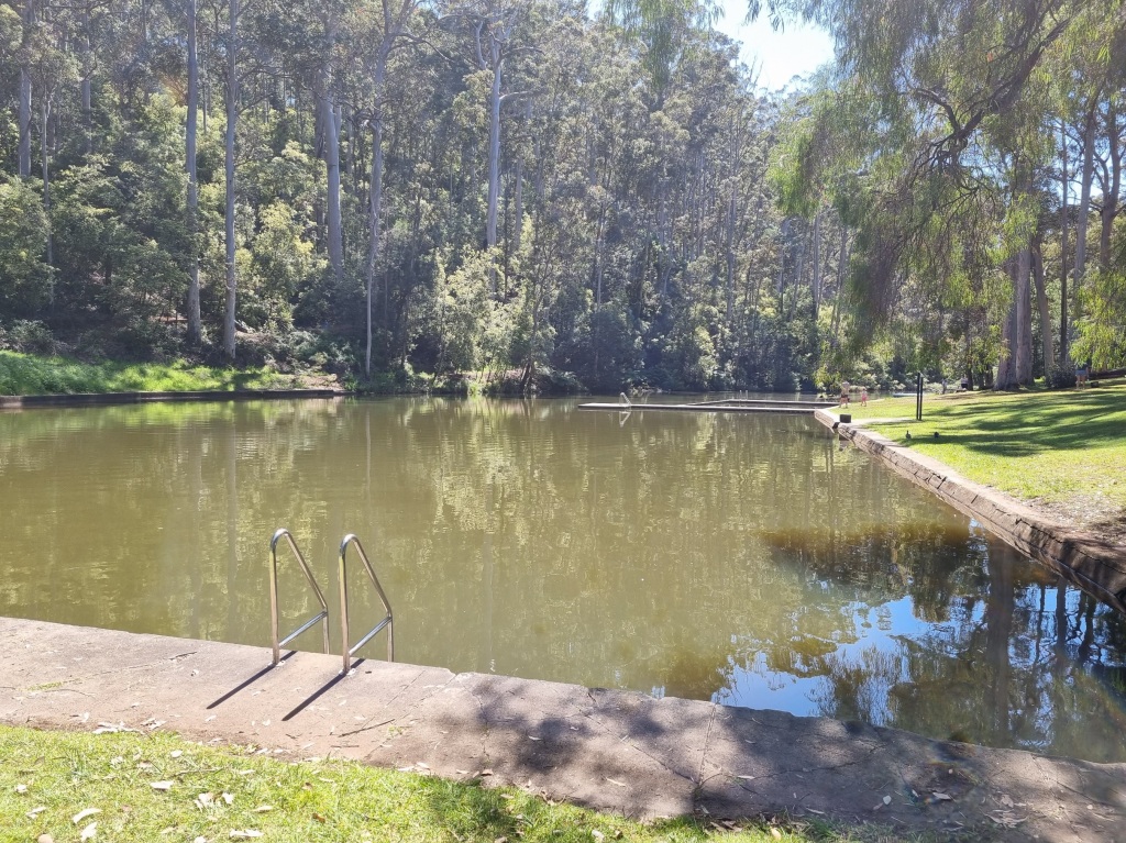
We finally arrived at the Visitors Centre at 10.40am at which time it was already 27°C. We signed the book, found some coffee and food and then thankfully checked into our accommodation early. And another rest day is earned.
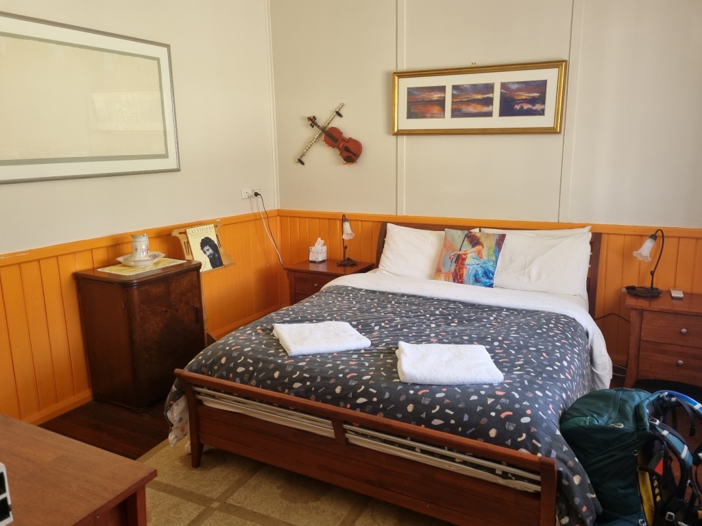
Day 31: Rest Day in Pemberton
I acknowledge the traditional owners of the land on which I walk, the Noongar people, and pay my respects to their Elders past, present and emerging.
